Meaning
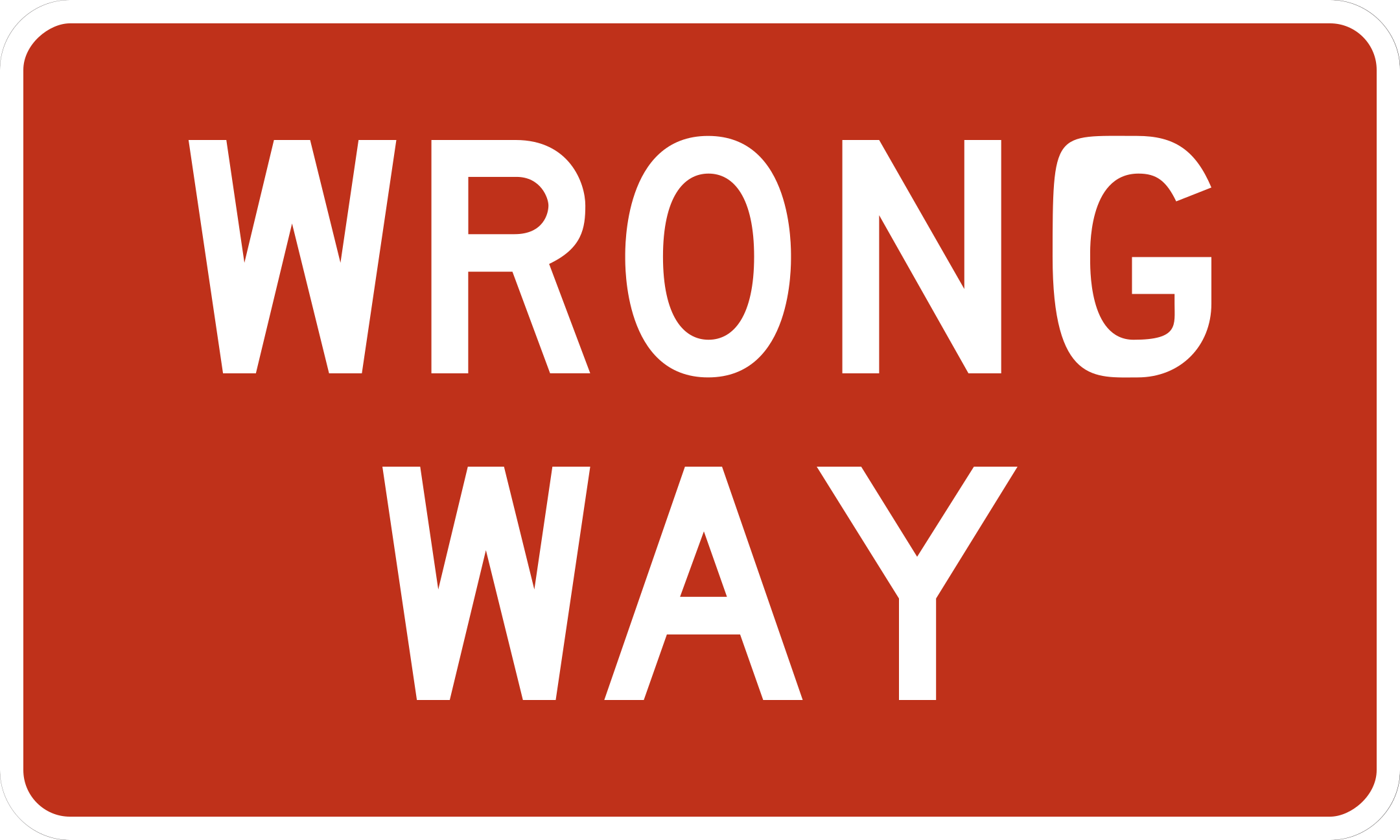
You are facing the wrong direction of travel on this roadway or ramp.
Driver Action
Do not continue in the indicated wrong direction.
VISUAL ROAD SIGN LEARNING LIBRARY · FHWA MUTCD SOURCED
Study the verified 68-sign national study baseline by picture, meaning, shape, color, and the driving action each sign requires.
Quick Learning Framework
U.S. traffic signs are engineered with a 3-layer visual code so motorists can decode hazard levels and legal obligations before text or specific symbols can be read.
The geometric silhouette communicates the fundamental instruction category from the furthest visible distance: octagons command stopping, triangles demand yielding, and diamonds signal caution.
Background colors establish the operational function: red enforces prohibitions and mandatory halts; yellow alerts to permanent road hazards; fluorescent yellow-green highlights school areas.
The interior pictograph or concise text specifies the exact situation—such as a side road entering from the right, a lane drop ahead, or a mandatory right-turn restriction.
Geometric Identification
Every standard shape in the U.S. national curriculum serves a distinct functional role. Review verified geometric silhouettes and their canonical applications.
Exclusively reserved for Stop signs. Requires a complete stop before the stop line, crosswalk, or intersection per MUTCD Section 2B.04.
Example: Stop (R1-1)
Exclusively reserved for Yield signs. Requires drivers to slow down and yield right-of-way to cross traffic and pedestrians per MUTCD Section 2B.06.
Example: Yield (R1-2)
Reserved for warning signs alerting drivers to roadway conditions, hazards, curves, and intersections ahead per MUTCD Section 2C.01.
Example: Slippery When Wet (W8-5)
Exclusively reserved for school area and school crossing warning signs per MUTCD Section 7B.01.
Example: School Area (S1-1)
An isosceles triangle pointing right, placed on the left side of the roadway at the beginning of a no-passing zone per MUTCD Section 2C.53.
Example: No Passing Zone (W14-3)
Advance warning of a highway-rail grade crossing, alerting drivers to look, listen, and prepare to stop per MUTCD Section 8B.03.
Example: Railroad Crossing Ahead (W10-1)
Identifies the highway-rail grade crossing location. Drivers must yield to rail traffic and be prepared to stop when necessary per MUTCD Section 8B.02.
Example: Railroad Crossing Crossbuck (R15-1)
Typically conveys regulatory traffic laws, speed limits, and enforceable movement instructions per MUTCD Section 2B.01.
Example: Speed Limit 55 (R2-1)
Color Coding System
MUTCD color coding standardizes meaning across all 50 states. Understand the functional purpose of standard highway colors.
Regulatory stop, yield, and prohibitions. Disobeying red signs constitutes an immediate traffic violation per MUTCD Table 2A-4.
Mandatory regulatory laws (Stop, Yield, Do Not Enter, Wrong Way)
General hazard warnings and roadway condition advisories. Alerts drivers to slow down and exercise heightened vigilance per MUTCD Table 2A-4.
Hazard warnings (Curves, Merges, Intersections, Slippery Pavement)
Regulatory rules of the road and legal traffic instructions. Governs vehicle movements, limits, and lane restrictions per MUTCD Table 2A-4.
Regulatory rules (Speed Limits, Keep Right, One Way, Lane Control)
Pedestrian, bicycle, and school zone crossing warnings requiring heightened driver alertness per MUTCD Section 7B.01 and Table 2A-4.
School zones and non-motorized crossings (School Area, Crosswalks)
Temporary traffic control, road construction, maintenance, and utility work zones per MUTCD Part 6.
Work zones and detours (Road Work Ahead, Flagger Ahead)
Directional guidance, highway exits, destination names, and mileage distances on guide signs per MUTCD Chapter 2D and Table 2A-4.
Guide signs and route navigation (Destination, Distance, Exits)
Road user services guidance, including hospitals, fuel, food, lodging, and rest areas on guide signs per MUTCD Chapter 2I and Table 2A-4.
Motorist services guidance (Rest Areas, Hospitals, Fuel, Camping)
Public recreation areas, parks, historical landmarks, and scenic points of cultural interest per MUTCD Chapter 2M and Table 2A-4.
Recreational & cultural points of interest (Parks, Historic Sites)
Interactive Visual Library
Browse the 68 verified signs in our national study curriculum, grouped by official MUTCD classifications. Filter by category or search by name and designation code. Looking to test your recall? Take the free national practice test →
You are facing the wrong direction of travel on this roadway or ramp.
Do not continue in the indicated wrong direction.
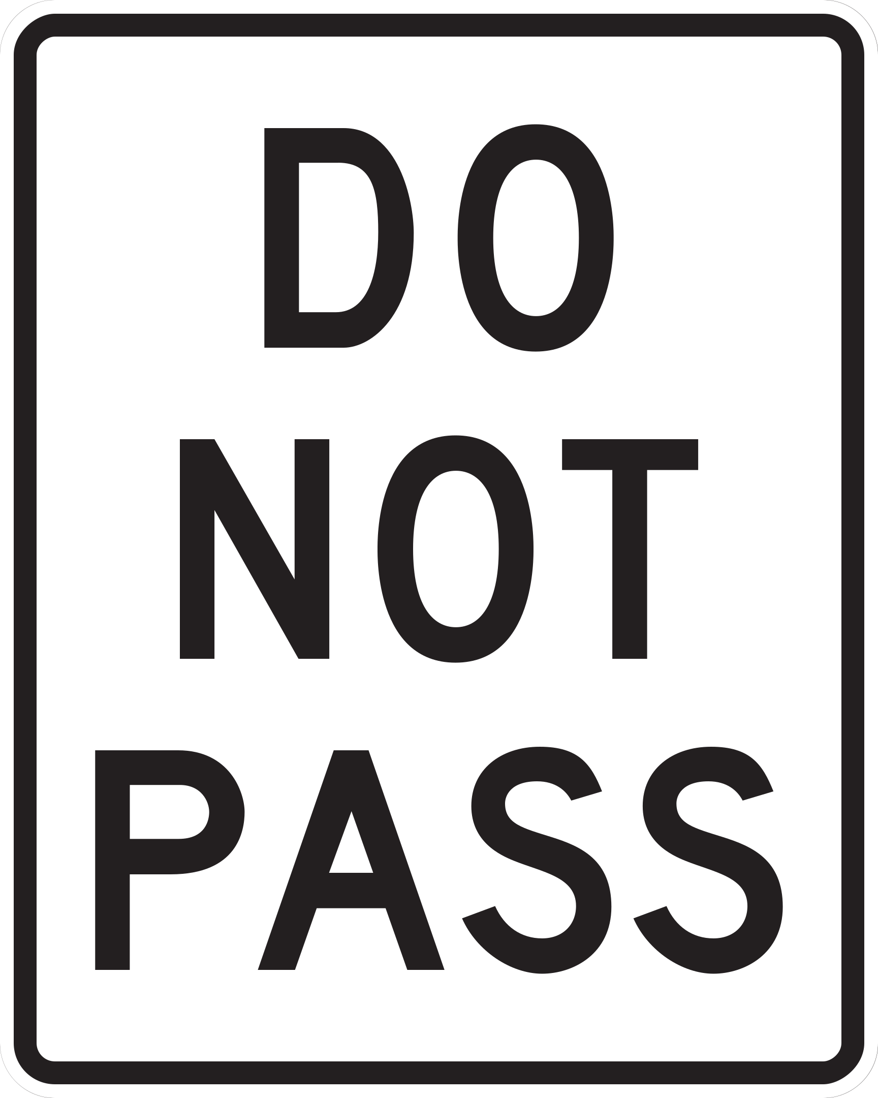
Passing is prohibited in the signed zone.
Do not overtake and pass in the restricted zone.
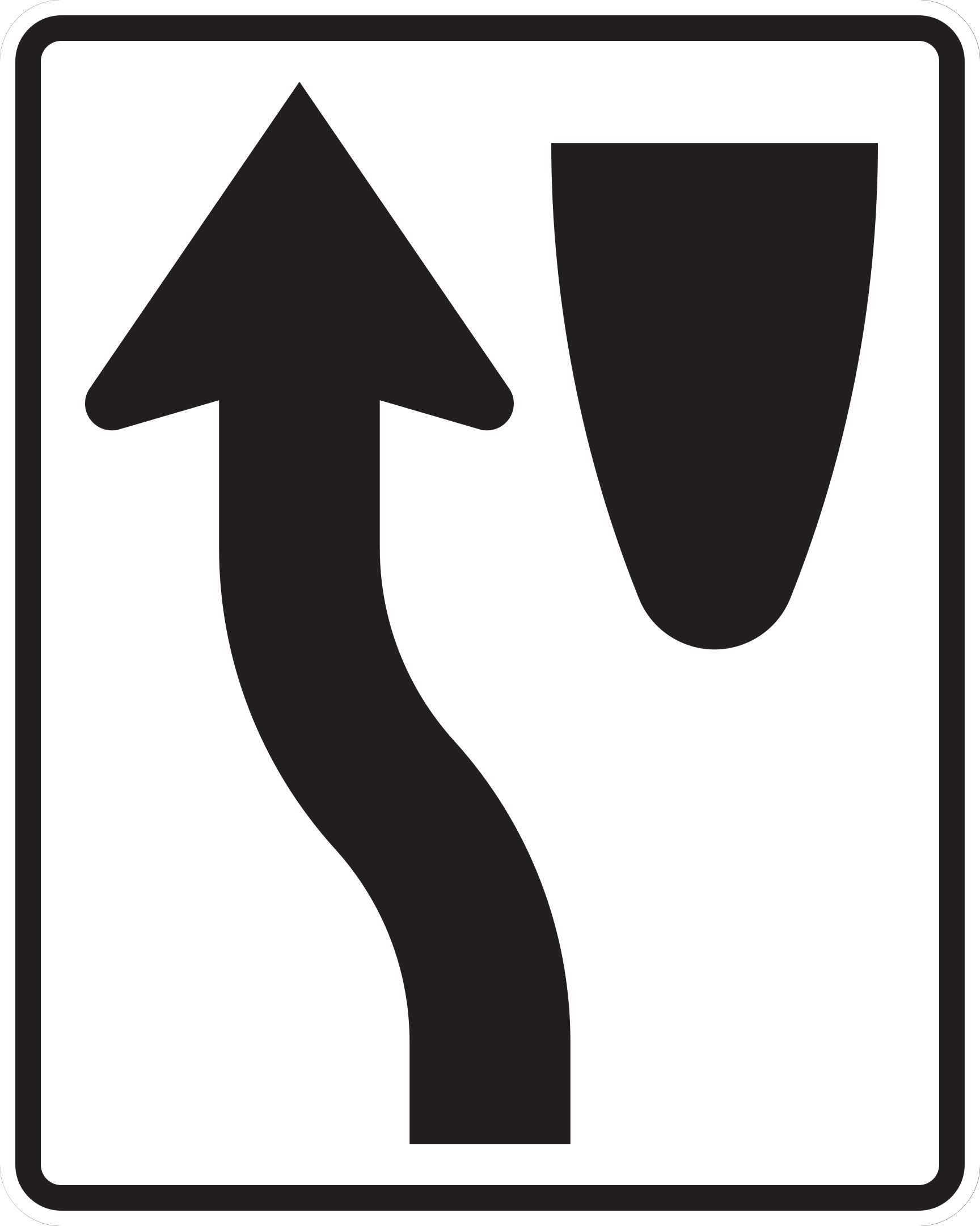
Traffic must pass to the left side of the obstruction or roadway divider.
Steer to the left of the sign, island, or barrier.
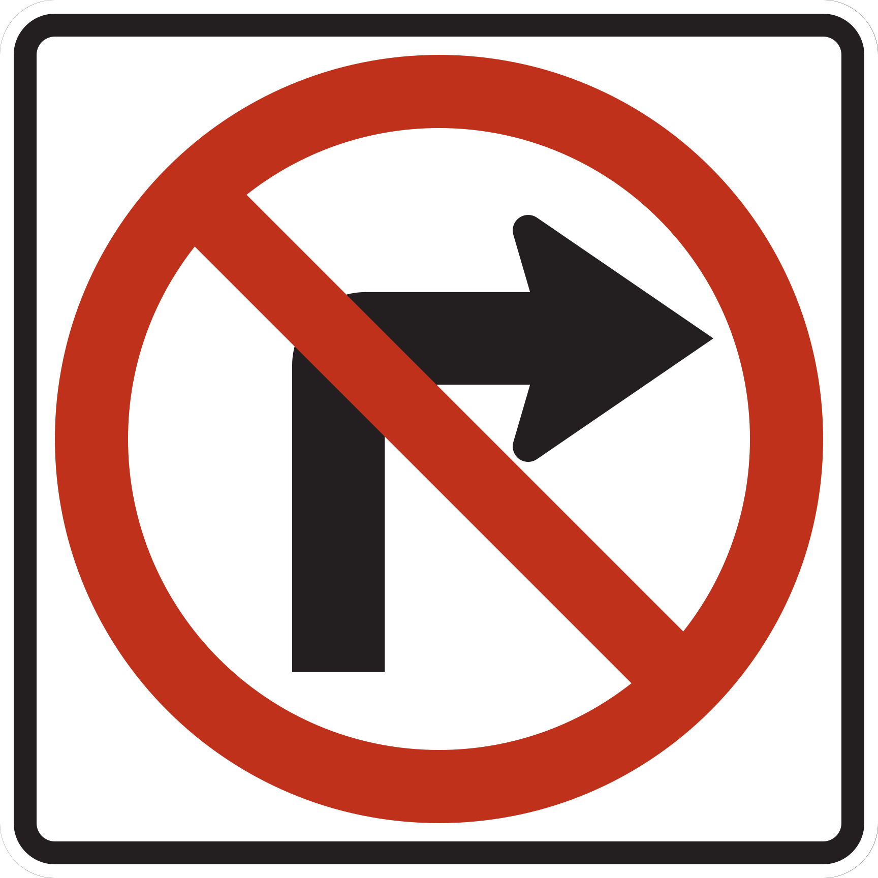
Right turns are prohibited at this location.
Continue straight or turn left if permitted; do not make a right turn.
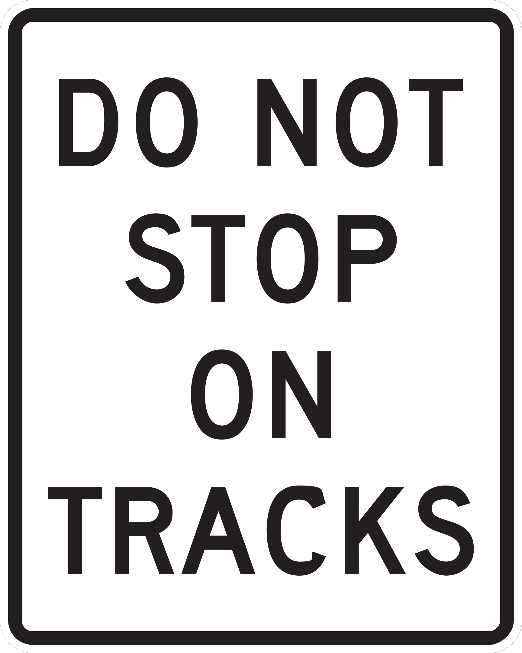
Drivers must never stop their vehicle across or upon railroad tracks.
Ensure sufficient clearance on the far side of the tracks before proceeding across; never stop on the railroad tracks.
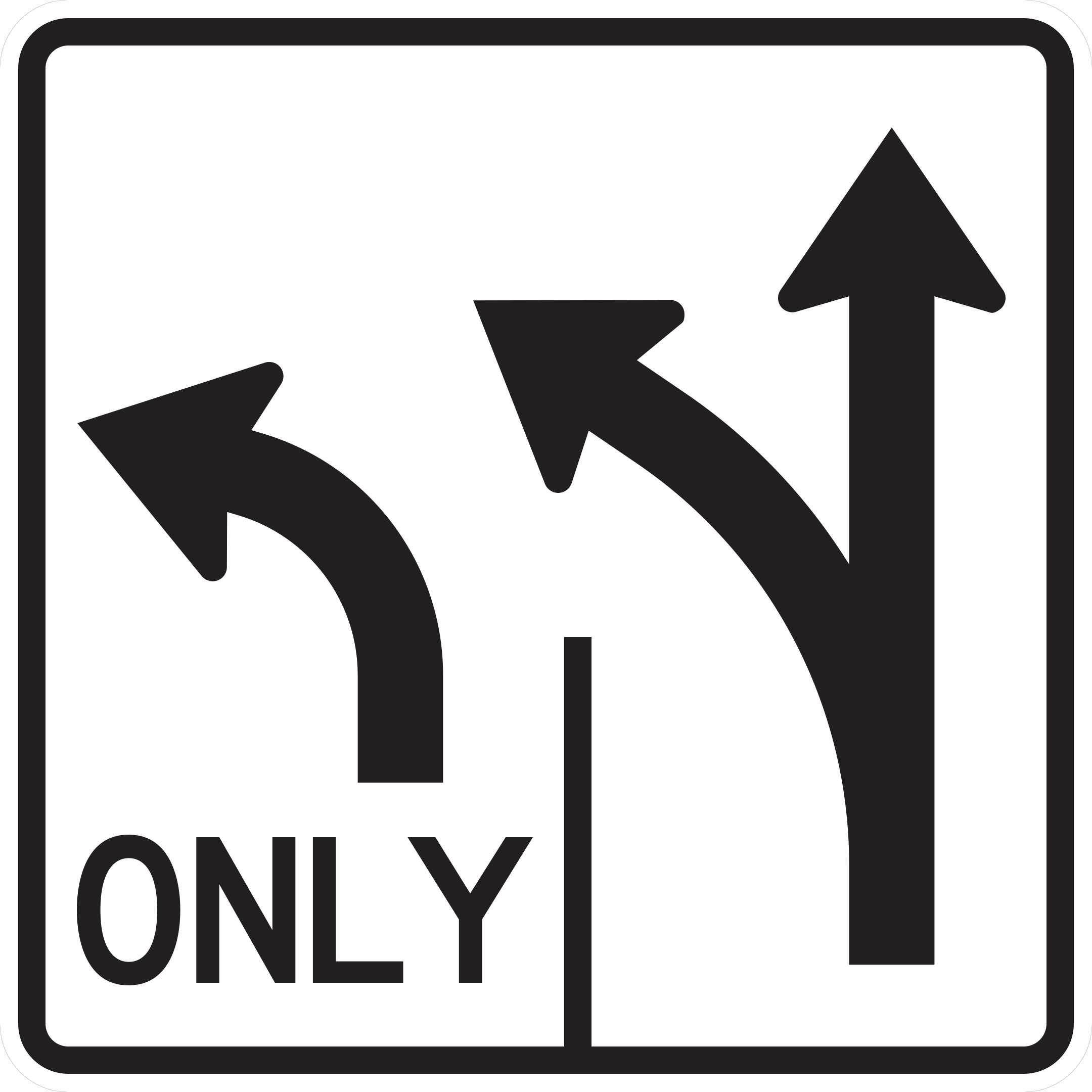
Indicates the permitted lane movements for upcoming intersection lanes.
Select and move into the appropriate lane for your intended route before reaching the intersection.
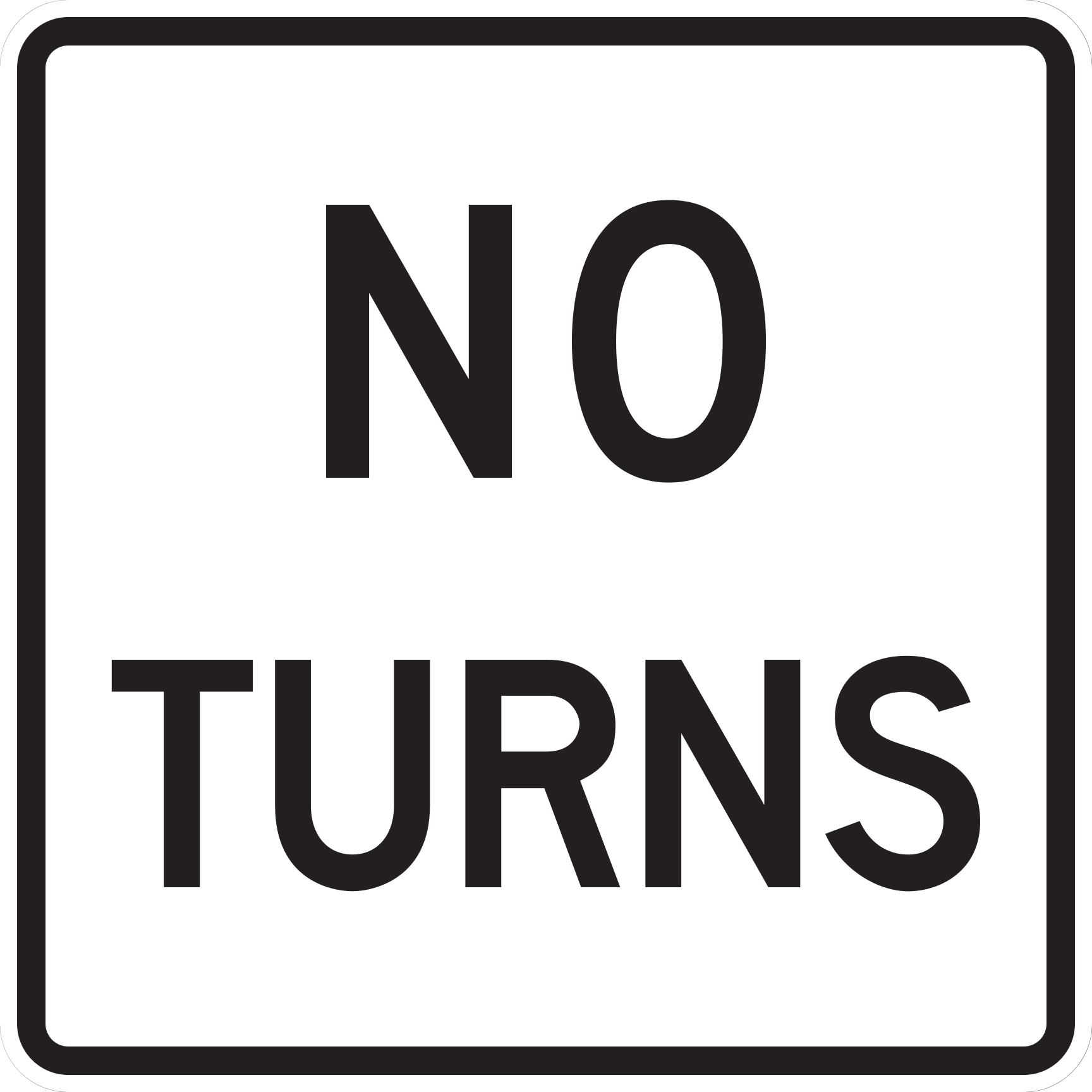
Both right and left turns are prohibited at this intersection.
Continue straight ahead; do not make either a left or right turn.
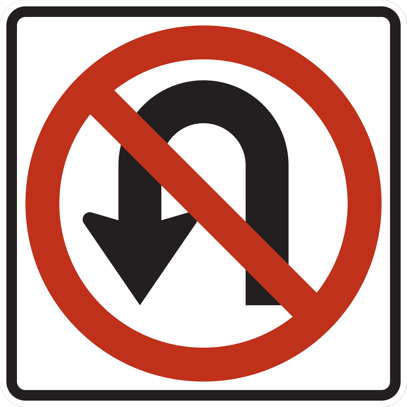
U-turns are prohibited on the approach controlled by this sign.
Do not make a U-turn where this sign applies.
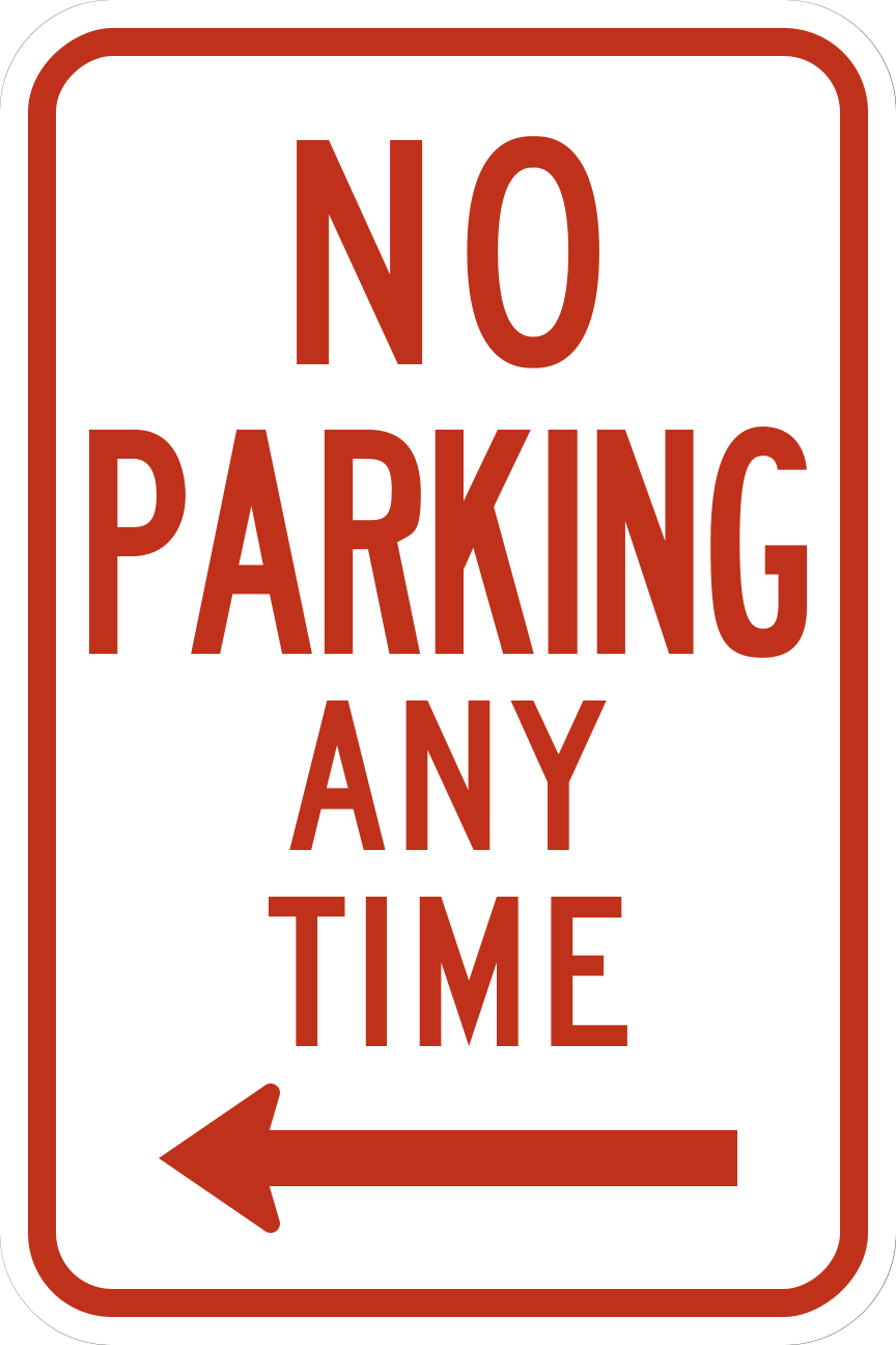
Parking is prohibited at all times in the designated zone.
Do not park or leave your vehicle unattended in this zone.
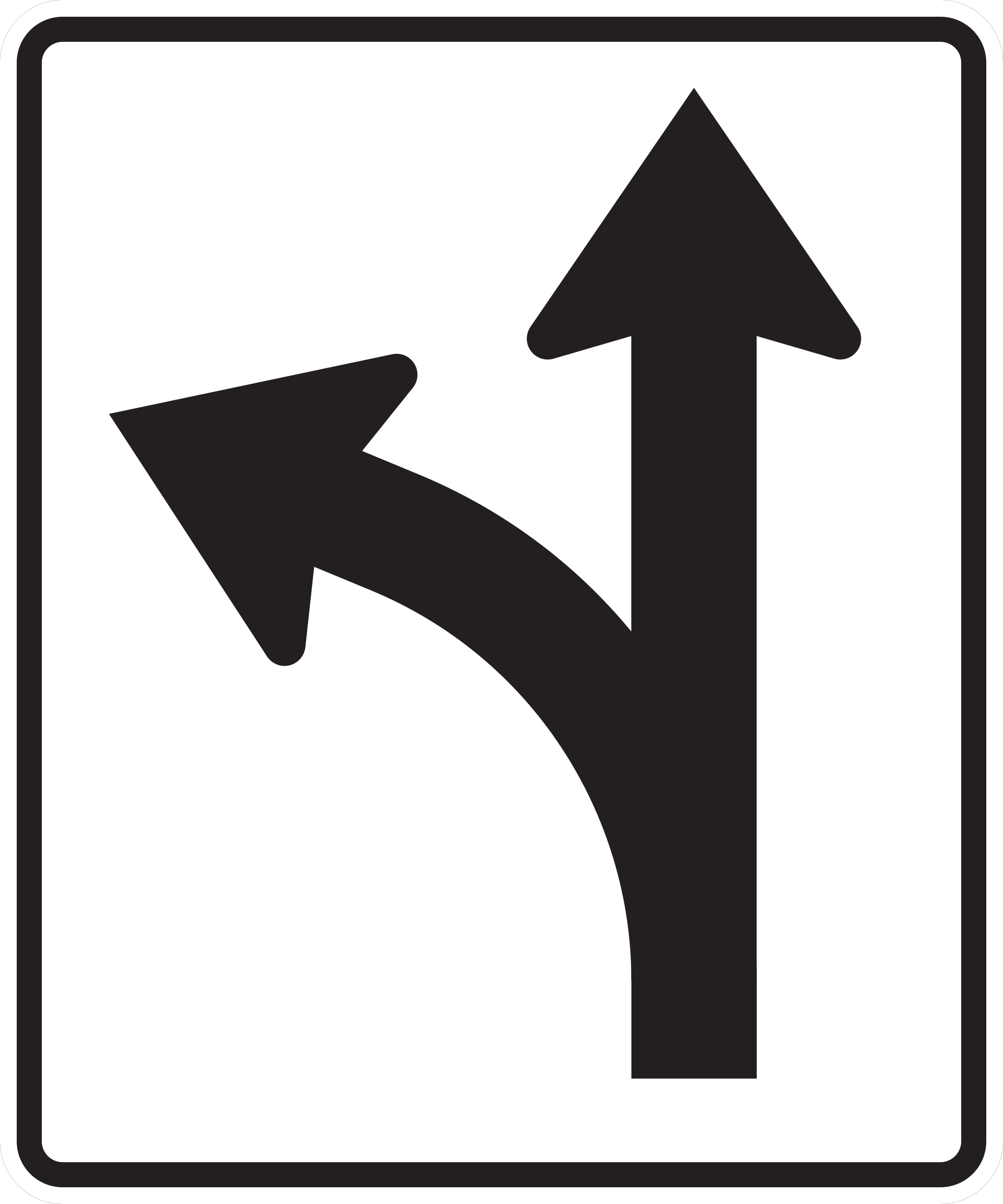
Vehicles in this lane may either proceed straight or turn left.
Choose to turn left or continue straight from this lane; maintain lane position through the intersection.
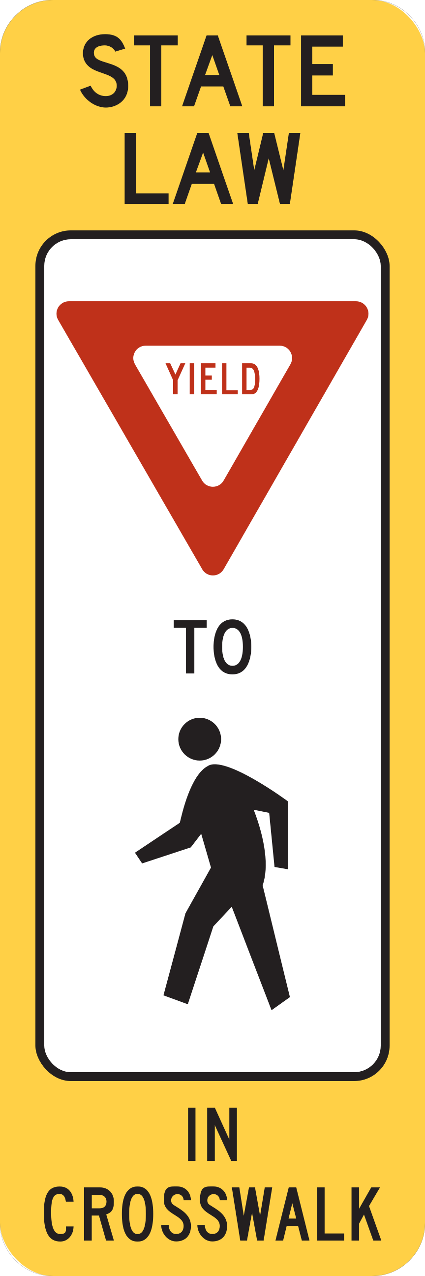
Drivers must yield to pedestrians within the crosswalk.
Slow down and yield the right-of-way to any pedestrian crossing in the marked crosswalk.
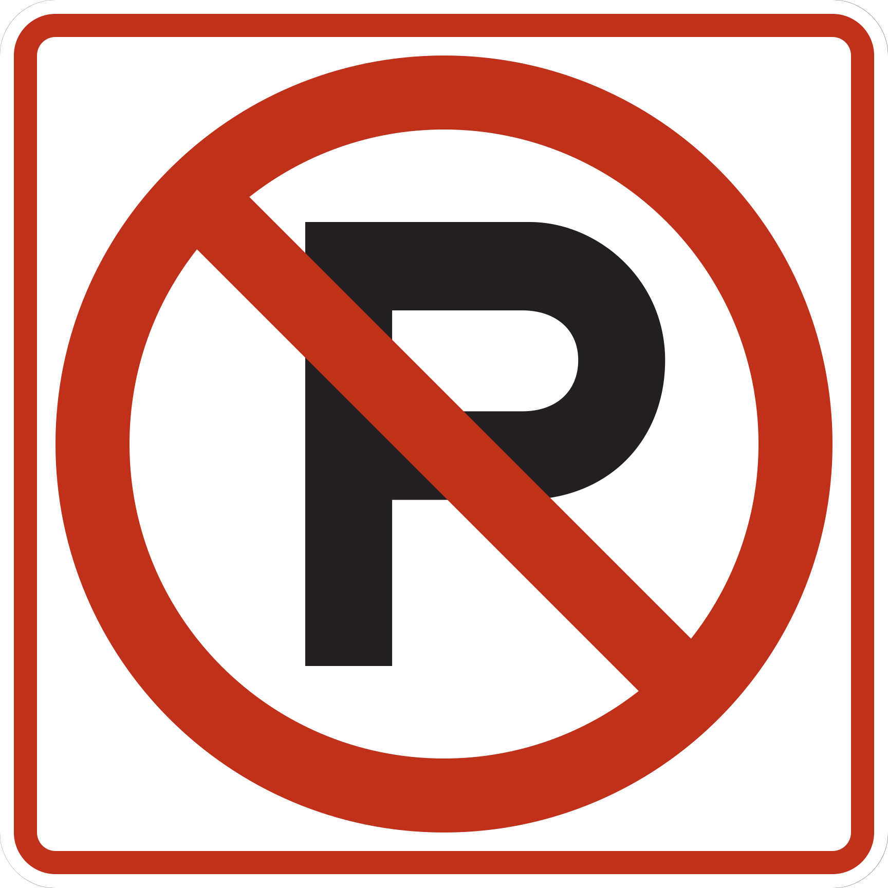
Parking is prohibited in the controlled area.
Do not park your vehicle where this sign applies.
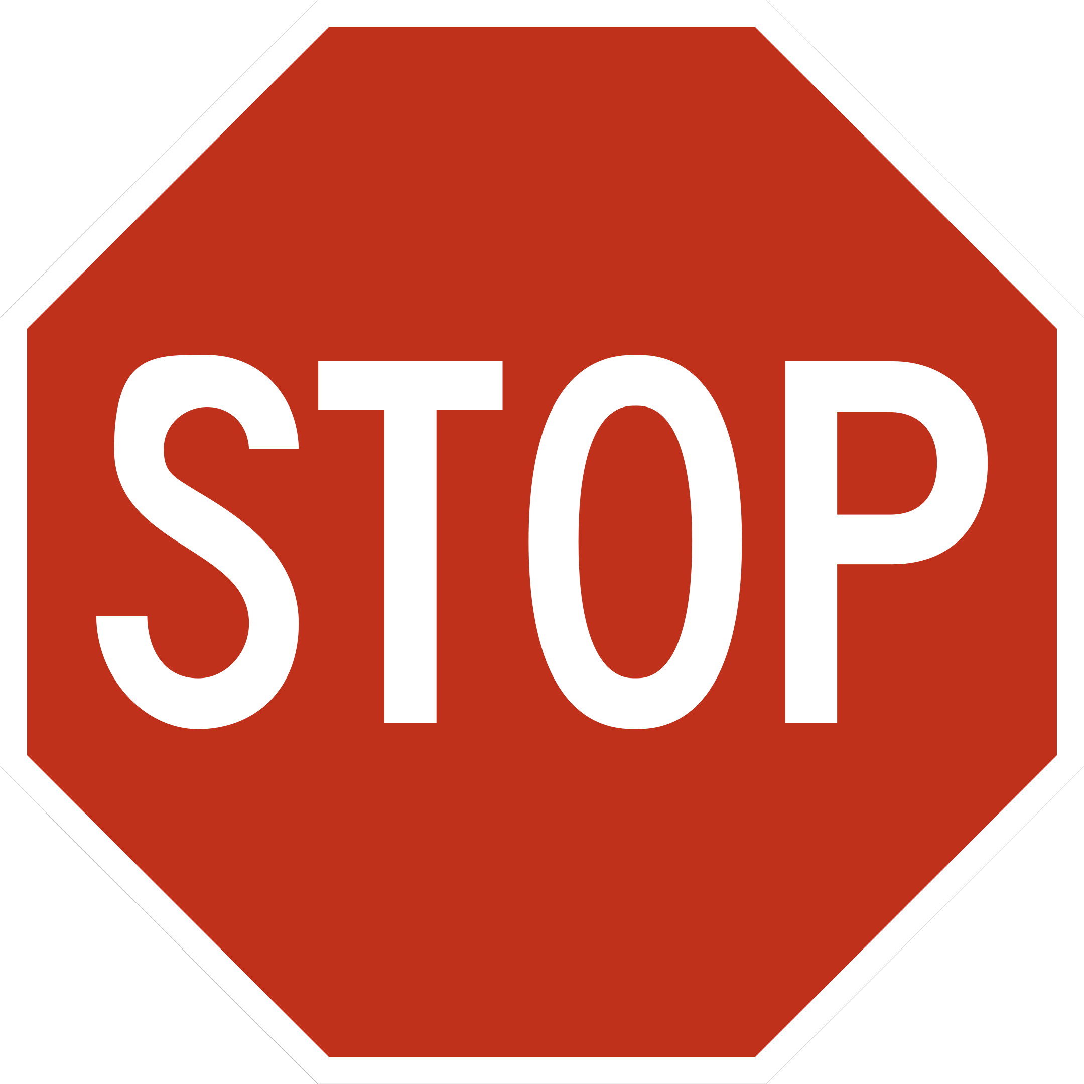
A full stop is required on the approach controlled by this sign.
Come to a complete stop on the controlled approach.
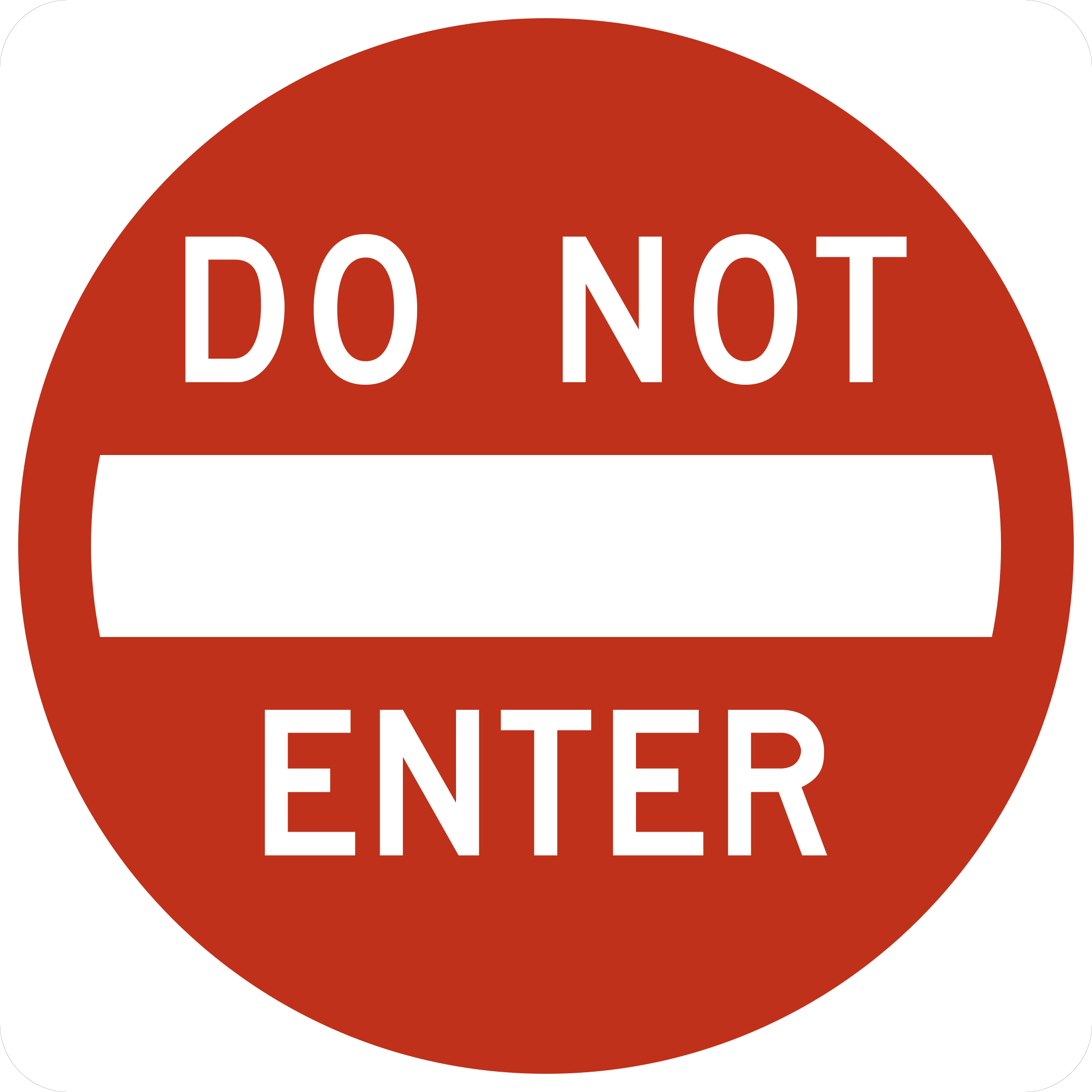
Do not enter the roadway or ramp from this direction.
Do not enter from the direction facing this sign.
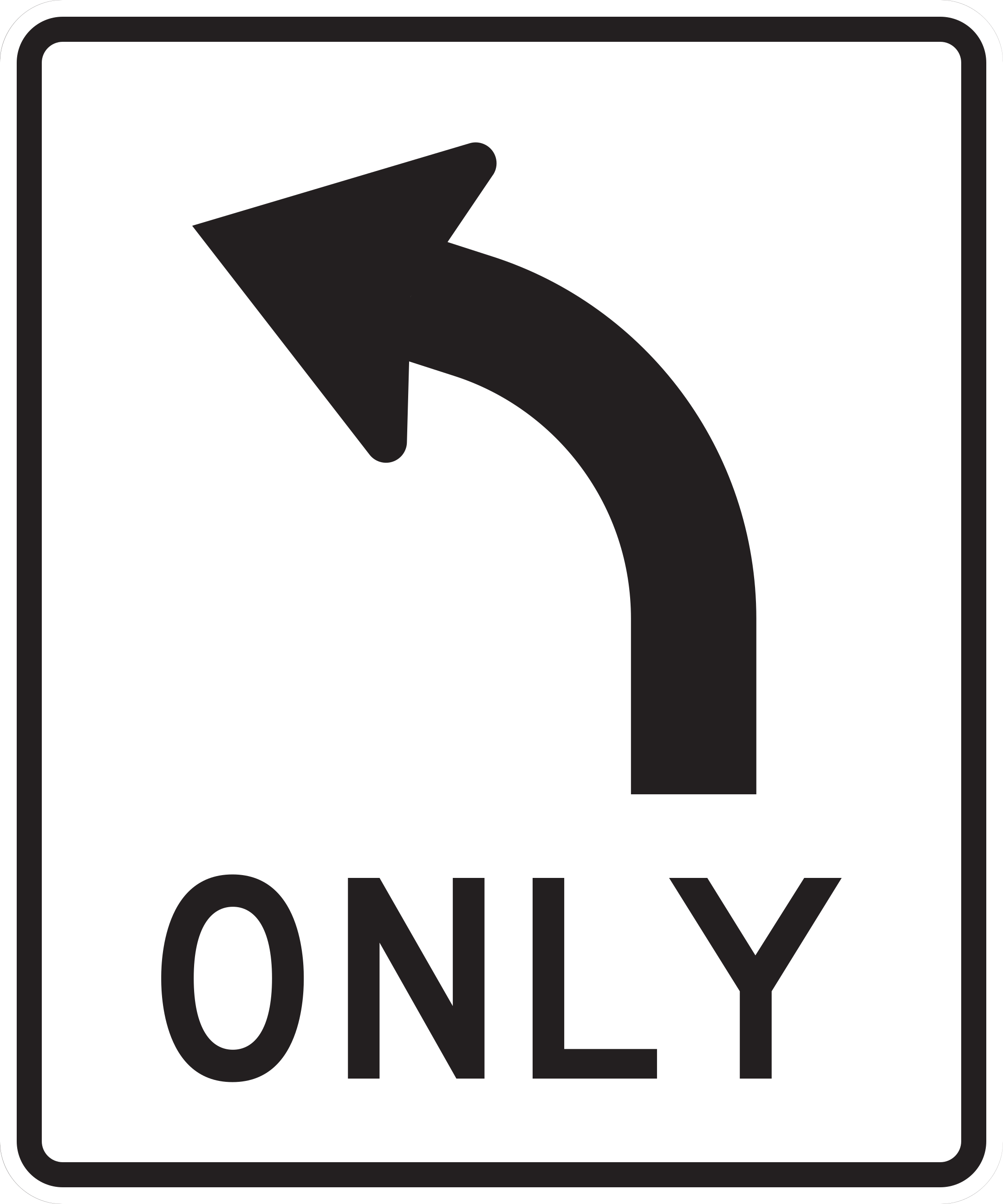
Vehicles in this lane must turn left at the intersection.
Turn left from this lane. Do not proceed straight through or change lanes abruptly at the intersection.
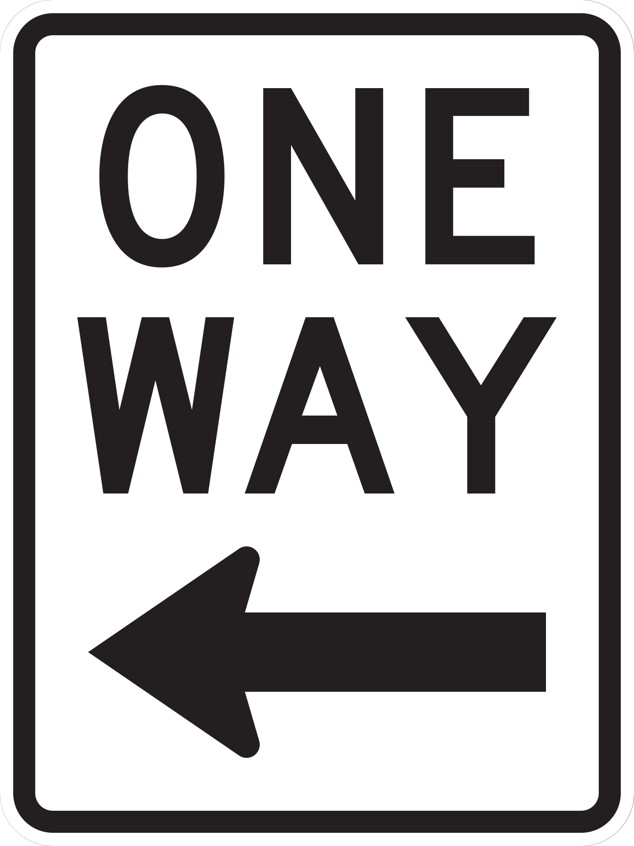
Traffic on this roadway moves only in the direction of the arrow.
Travel only in the direction of the arrow; do not turn or travel against the indicated direction.
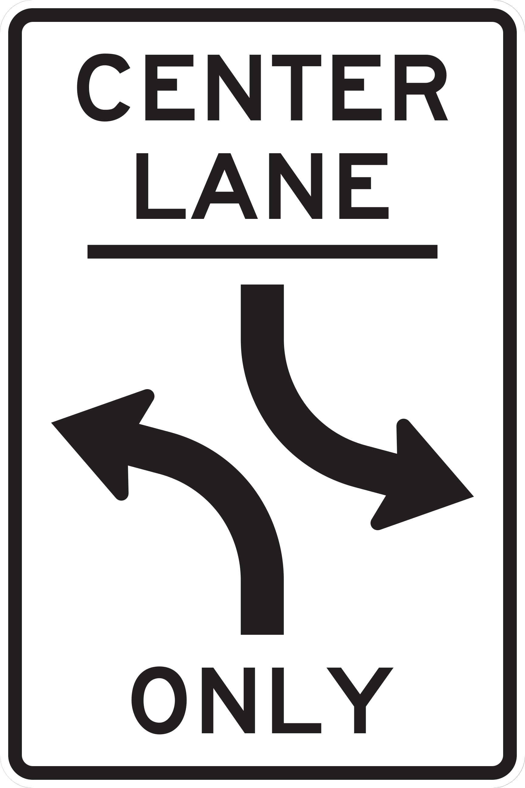
The center lane is reserved exclusively for left turns from either direction.
Enter the center turn lane only when preparing to make a left turn; yield to opposing vehicles already using the lane and never use it for through travel.
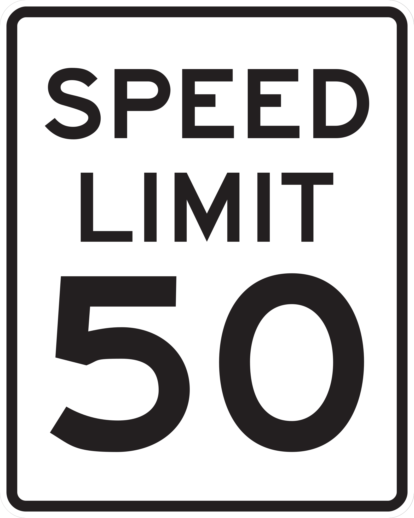
The number shows the posted speed limit in miles per hour.
Observe the posted speed limit.
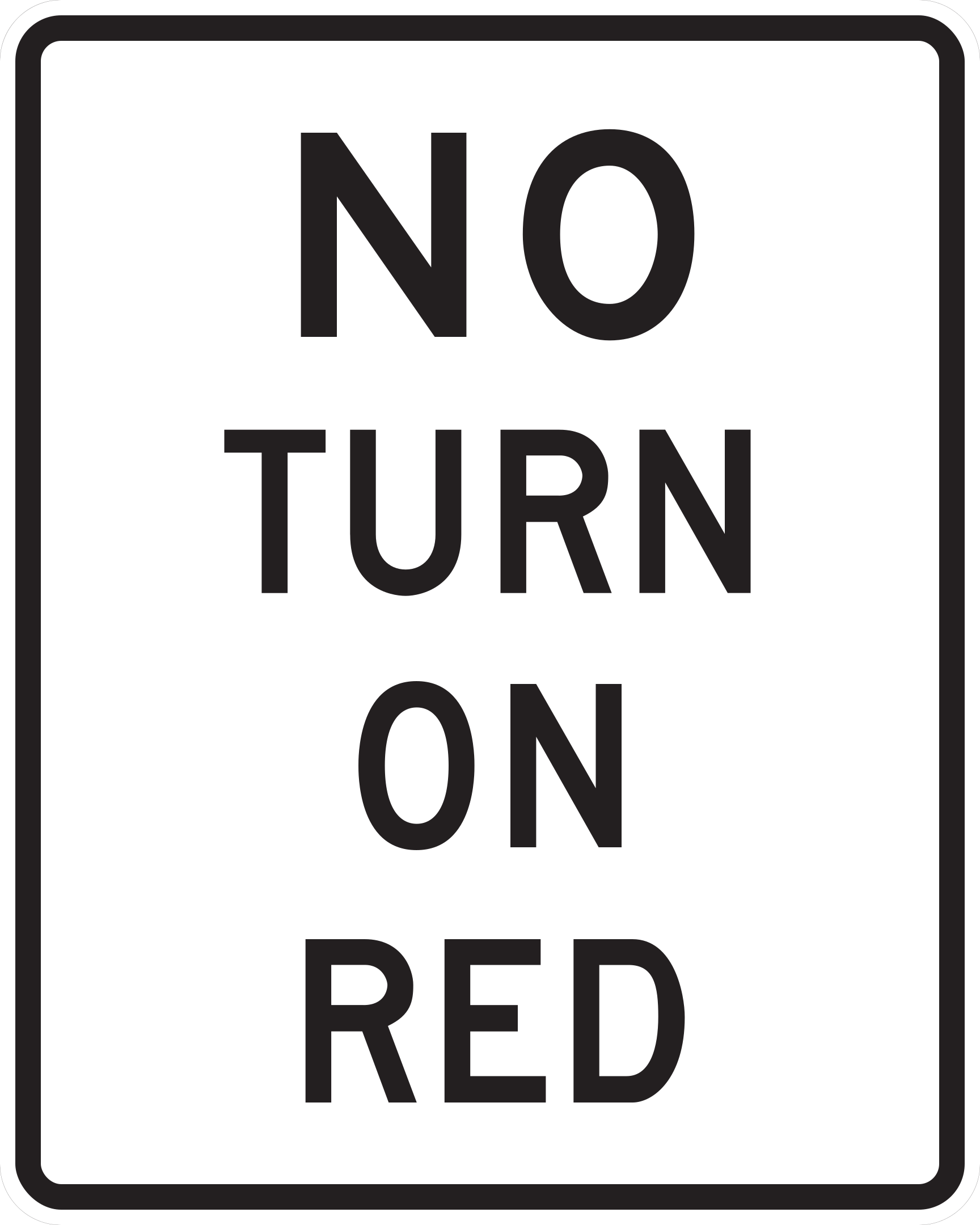
Turning on a steady red signal is prohibited at this intersection.
Remain fully stopped at the stop line during the red signal; do not initiate a turn until the signal turns green.
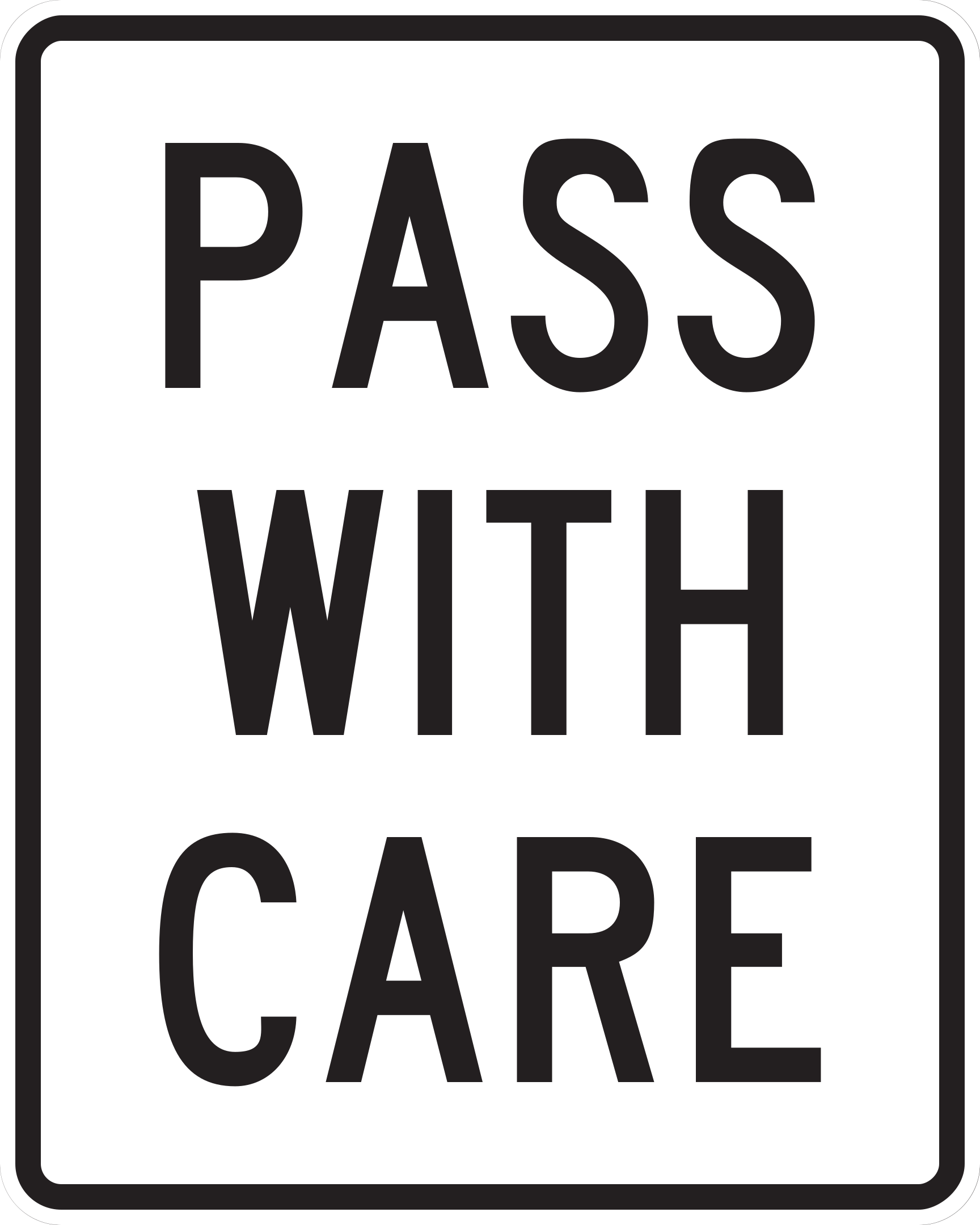
The no-passing zone has ended, but passing is permitted only when safe.
Remain in your lane unless a pass can be completed safely without exceeding the speed limit or interfering with other traffic.
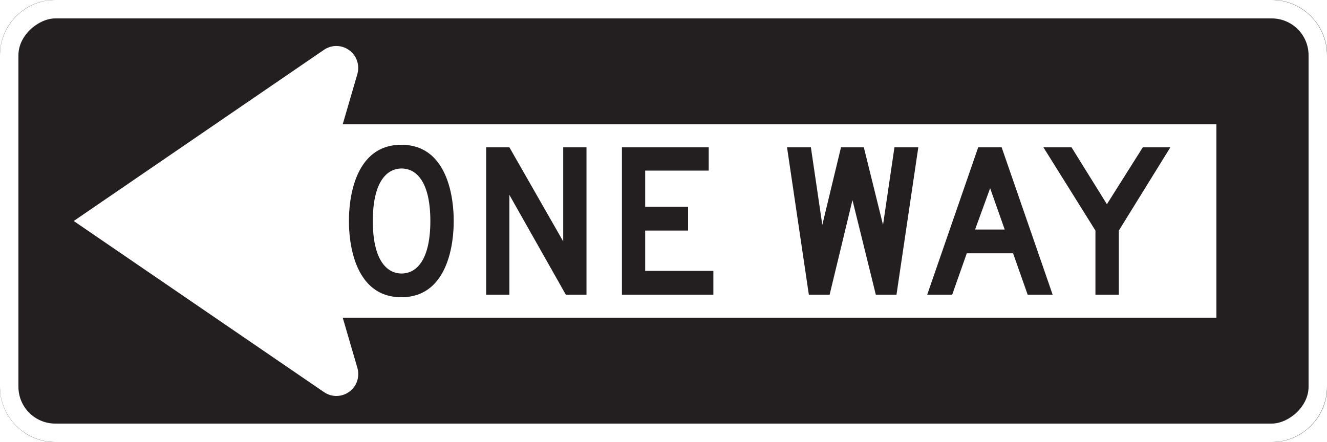
Traffic is allowed to move only in the direction indicated by the arrow.
Travel and turn only in the direction indicated by the arrow; never enter against the indicated flow.
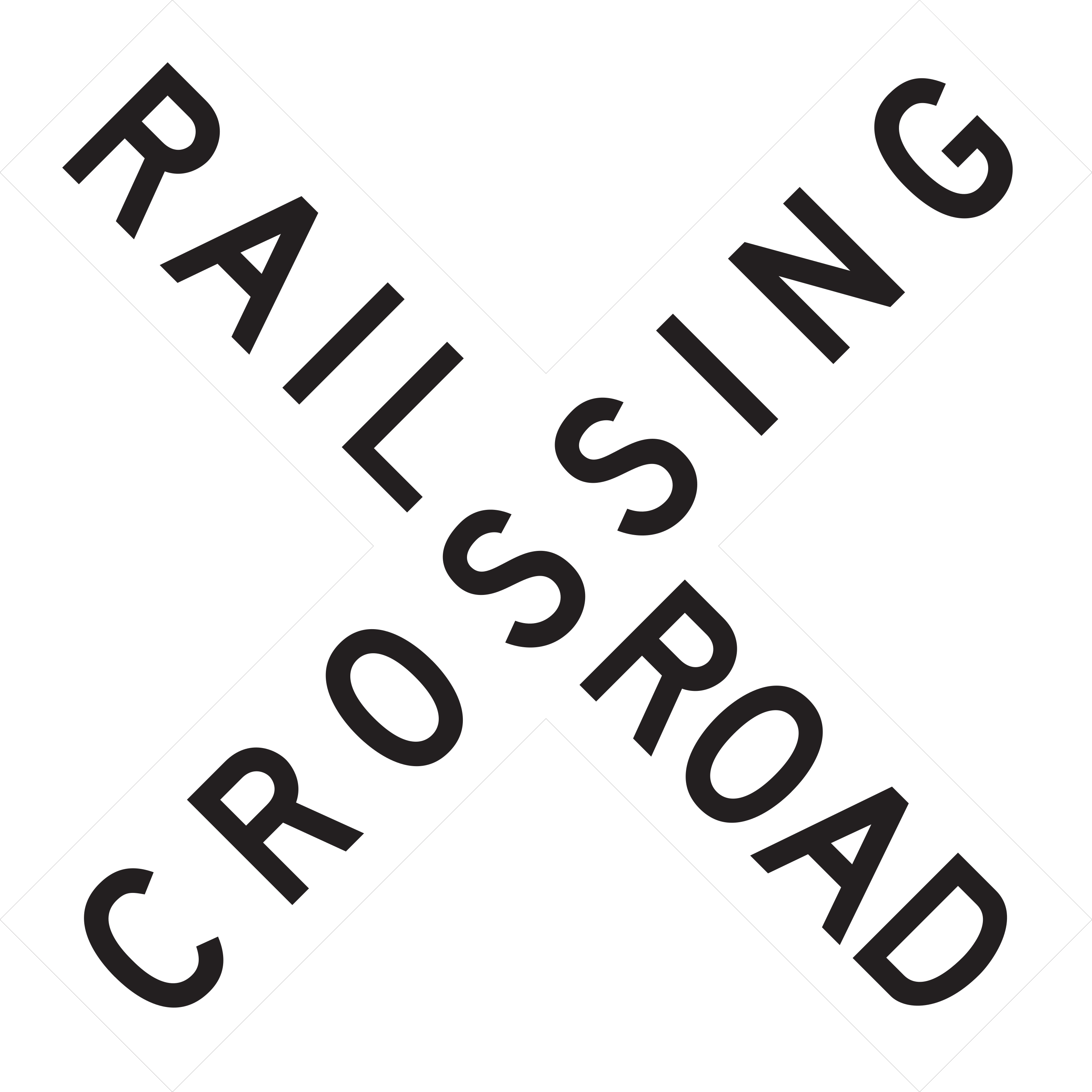
Marks a railroad grade crossing.
Approach ready to yield to rail traffic; slow or stop as necessary.
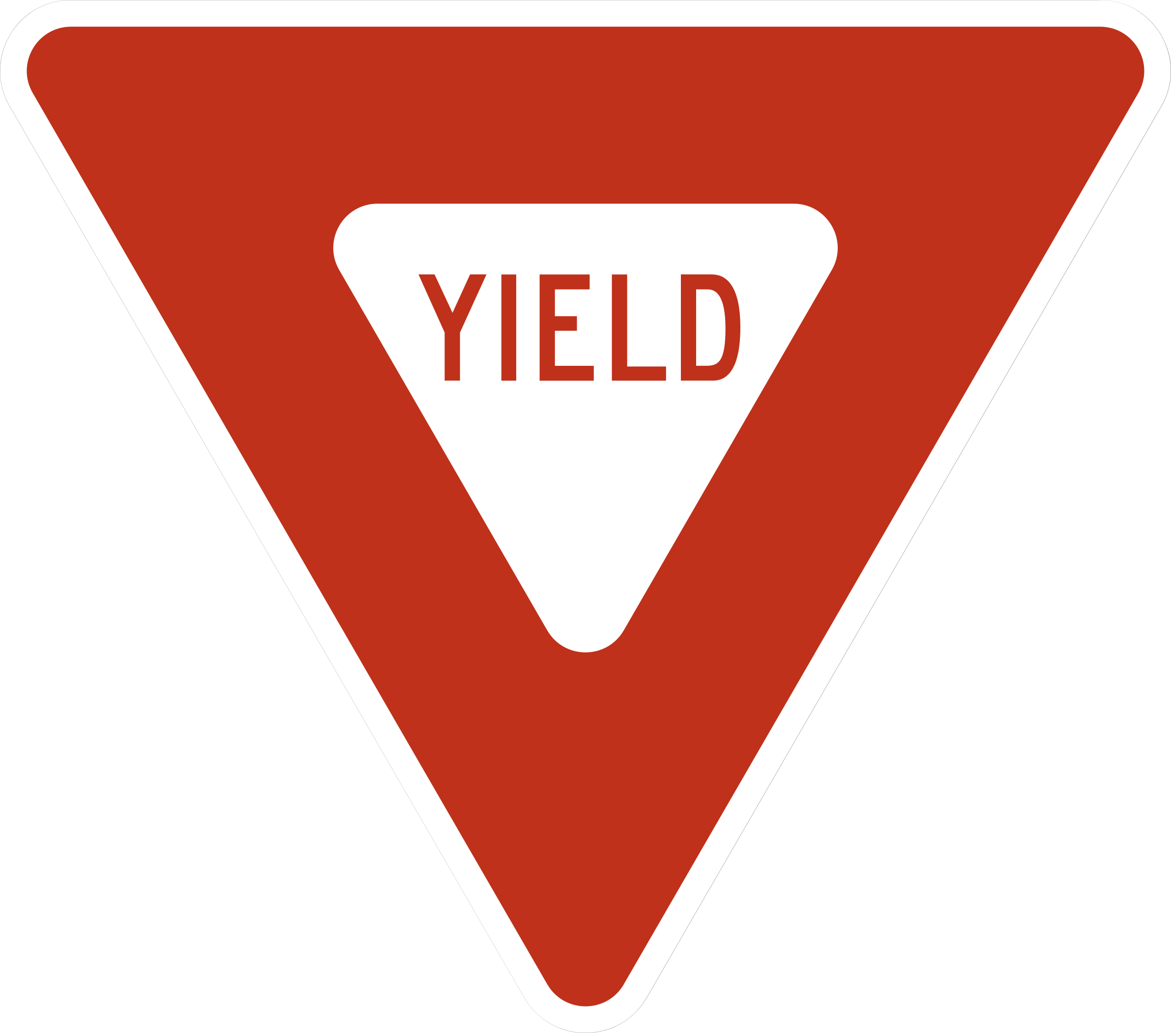
Give the right-of-way to conflicting traffic.
Slow down and yield; stop if needed.
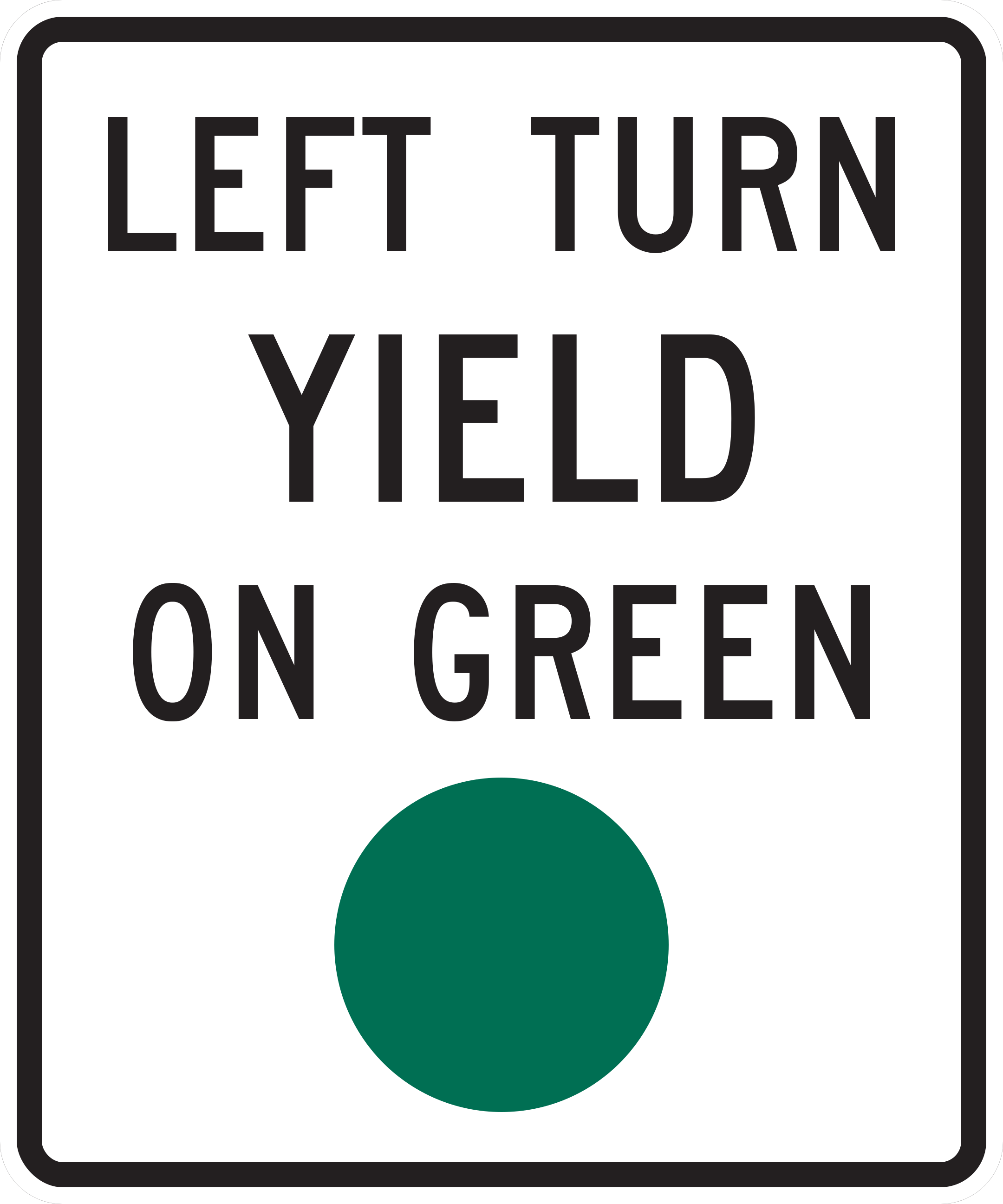
Left turns are permitted on green but must yield to oncoming traffic.
Wait for oncoming traffic and crossing pedestrians to clear before completing a left turn on circular green.
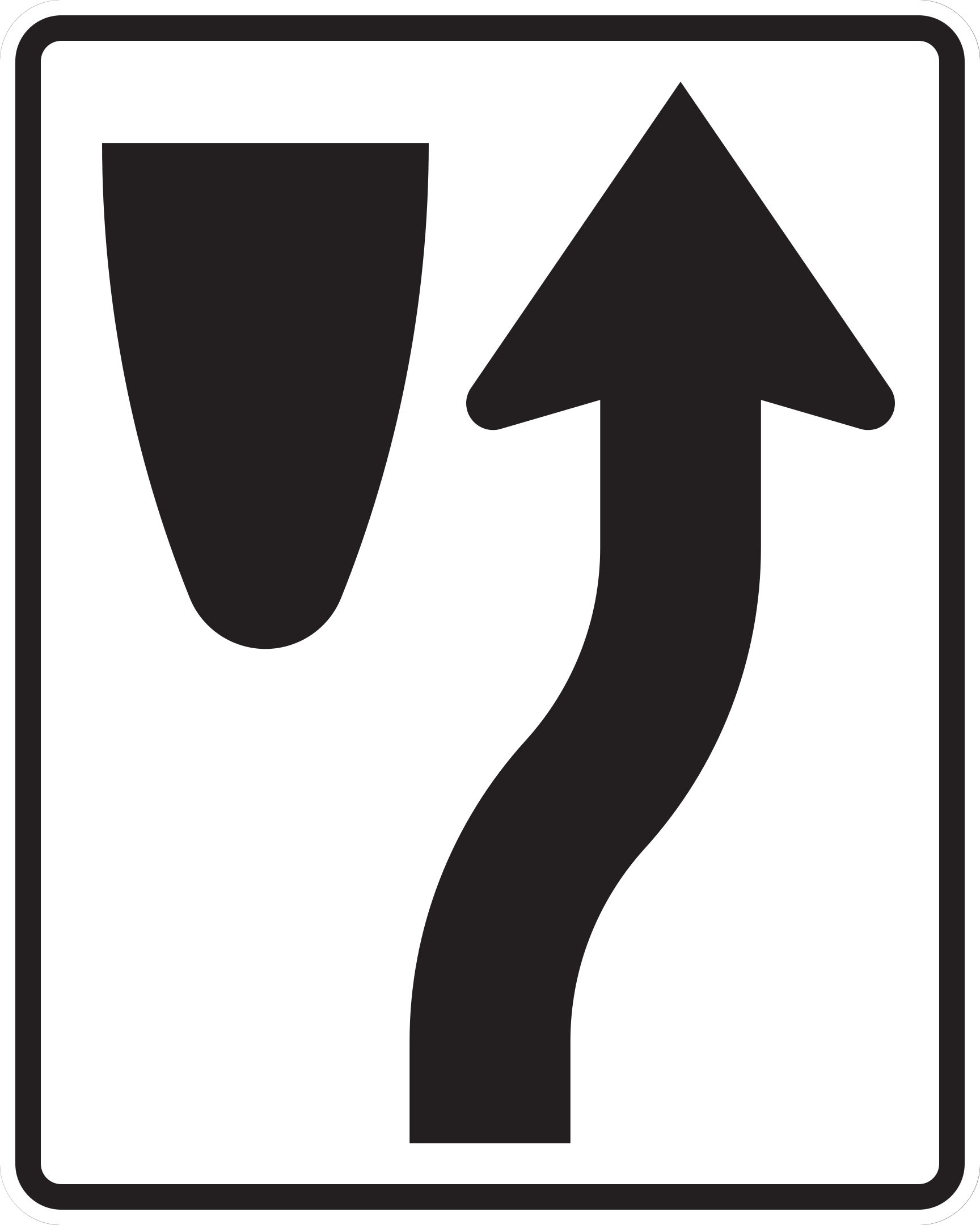
Traffic must pass to the right side of the obstruction or roadway divider.
Steer to the right of the sign, island, or median.
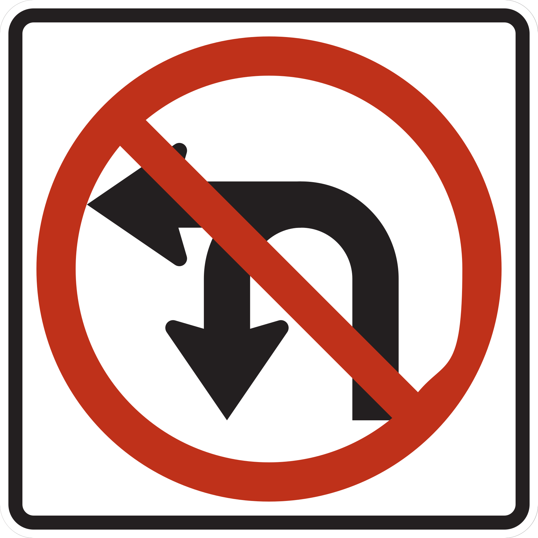
Neither U-turns nor left turns are permitted at this location.
Do not attempt a left turn or U-turn; proceed straight or turn right if permitted.
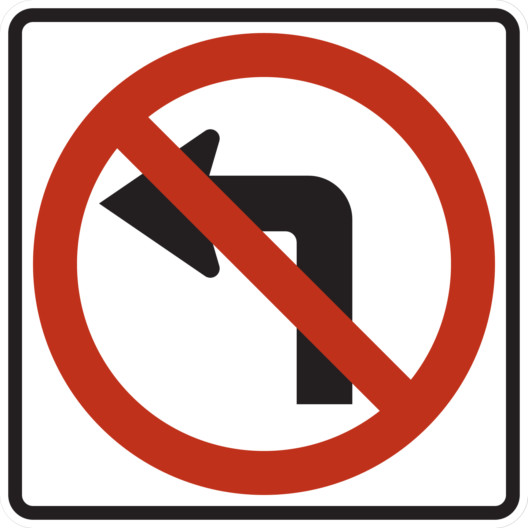
Left turns are prohibited at this location.
Proceed straight or turn right if permitted; do not turn left.
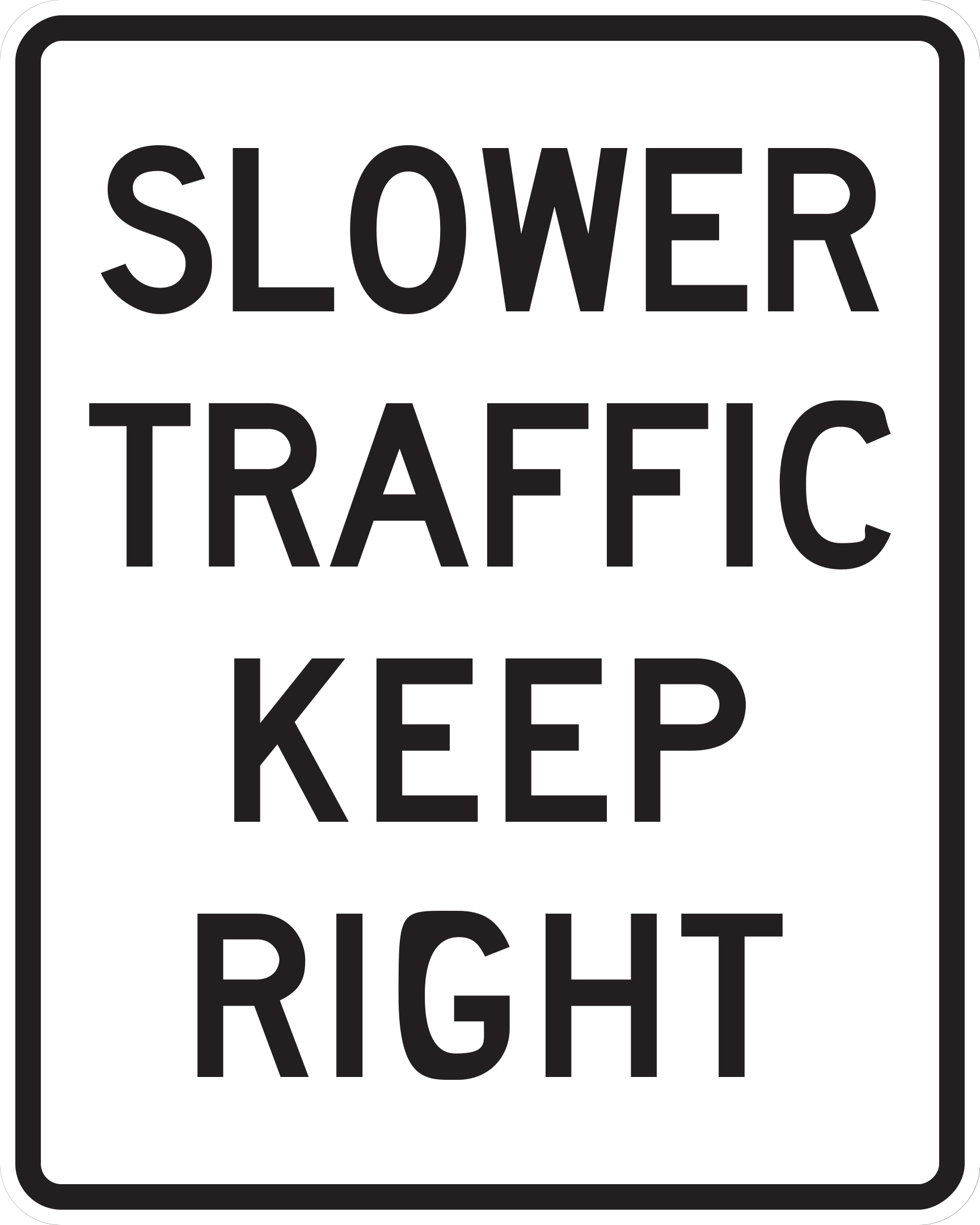
Vehicles traveling slower than the normal flow of traffic must use the right lane.
Drive in the right lane if you are traveling slower than other vehicles or not actively passing.
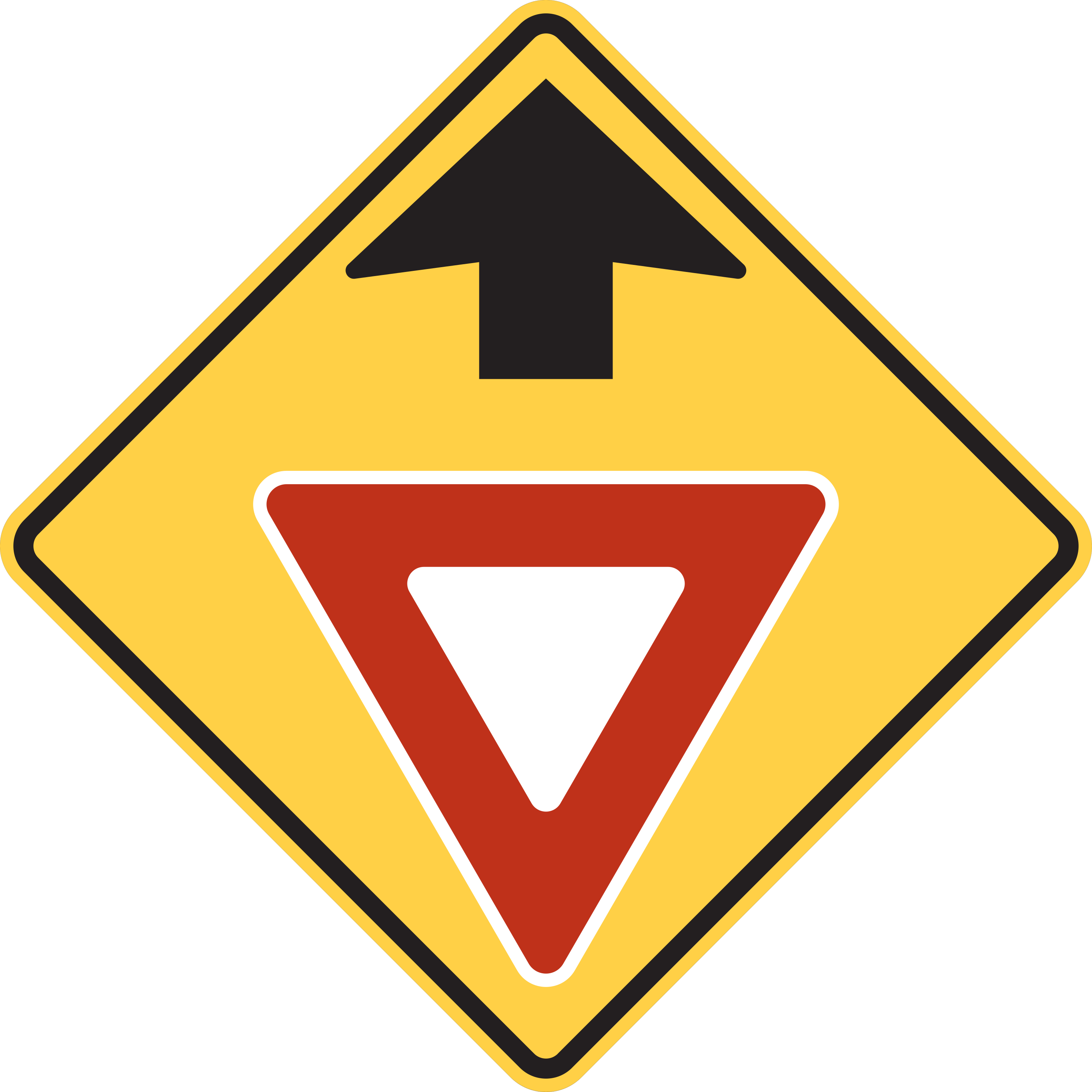
A YIELD sign controls the approach ahead; prepare to slow down and yield.
Reduce speed and be prepared to yield the right-of-way to oncoming traffic or pedestrians at the upcoming intersection.
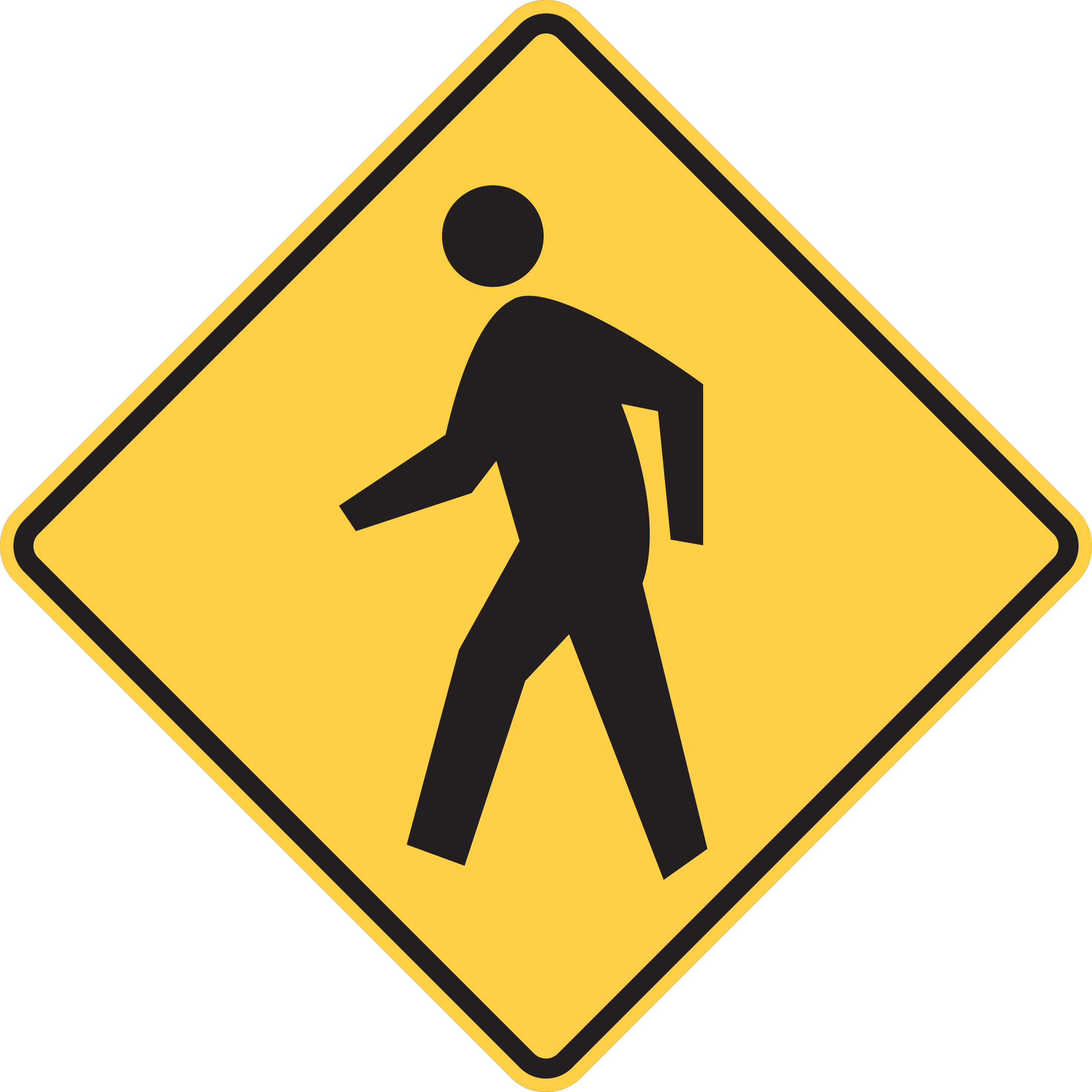
Pedestrians may enter or share the roadway.
Watch for pedestrians entering or using the roadway.
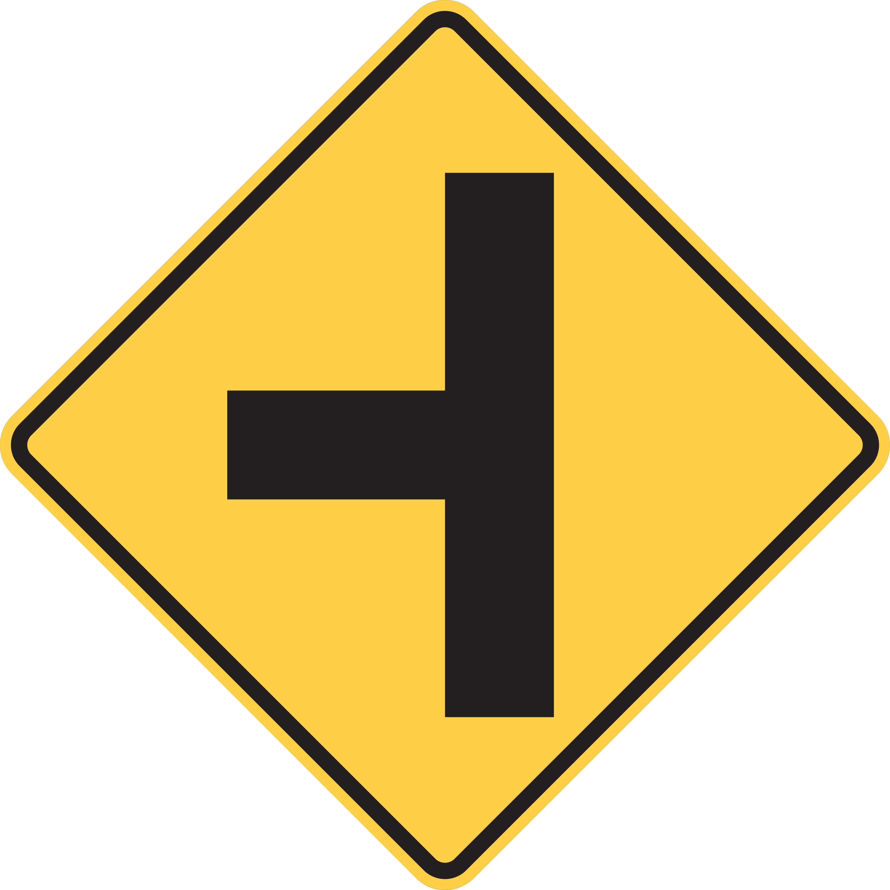
A side road enters the highway from the indicated side ahead.
Watch for vehicles entering or turning onto the roadway from the intersecting side road.
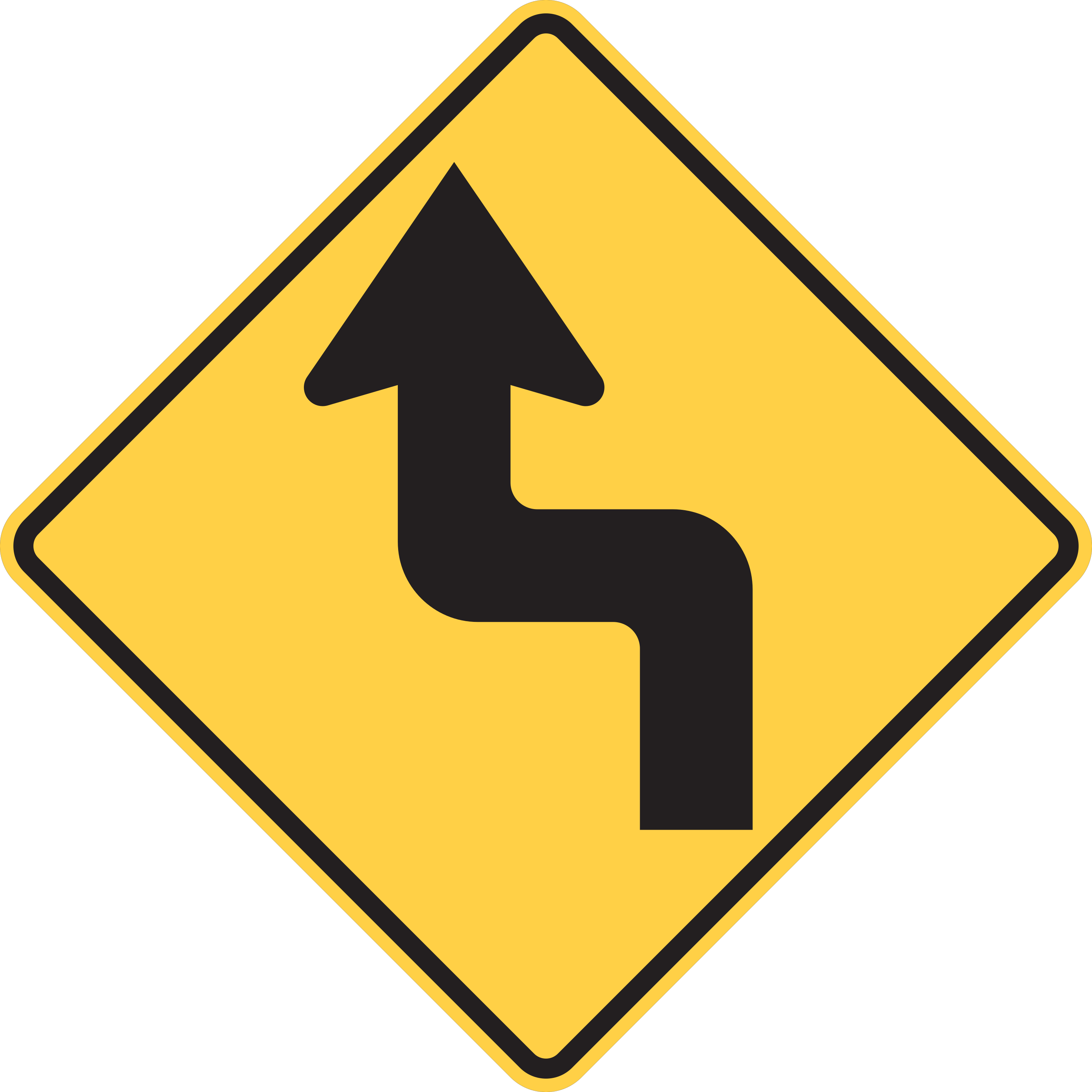
Two sharp turns in opposite directions are ahead.
Reduce speed and navigate the sharp initial turn followed immediately by the sharp turn in the reverse direction.
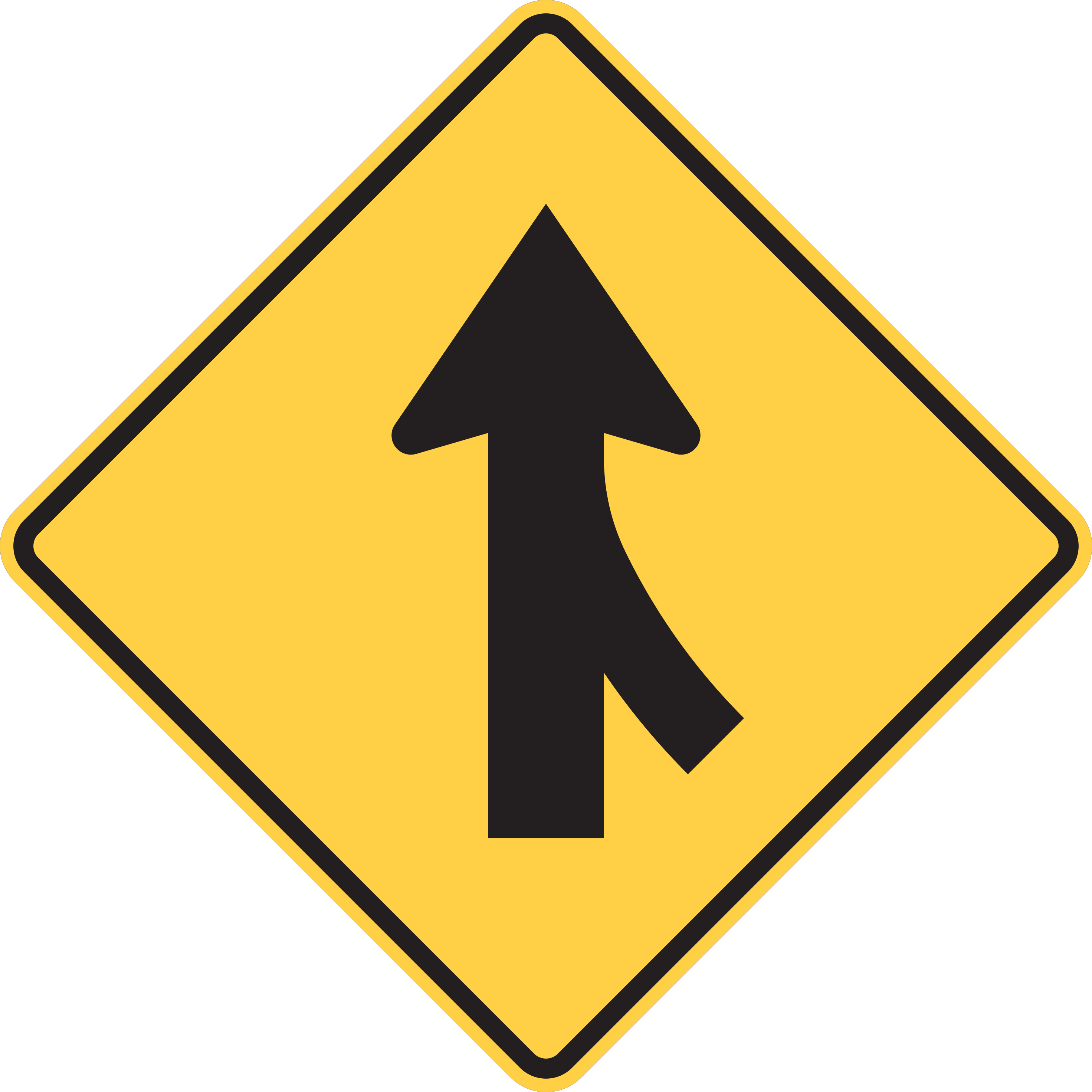
Merging traffic from the right is joining the mainline roadway.
Adjust speed and position to facilitate smooth merging; entering vehicles must yield to traffic already on the roadway.
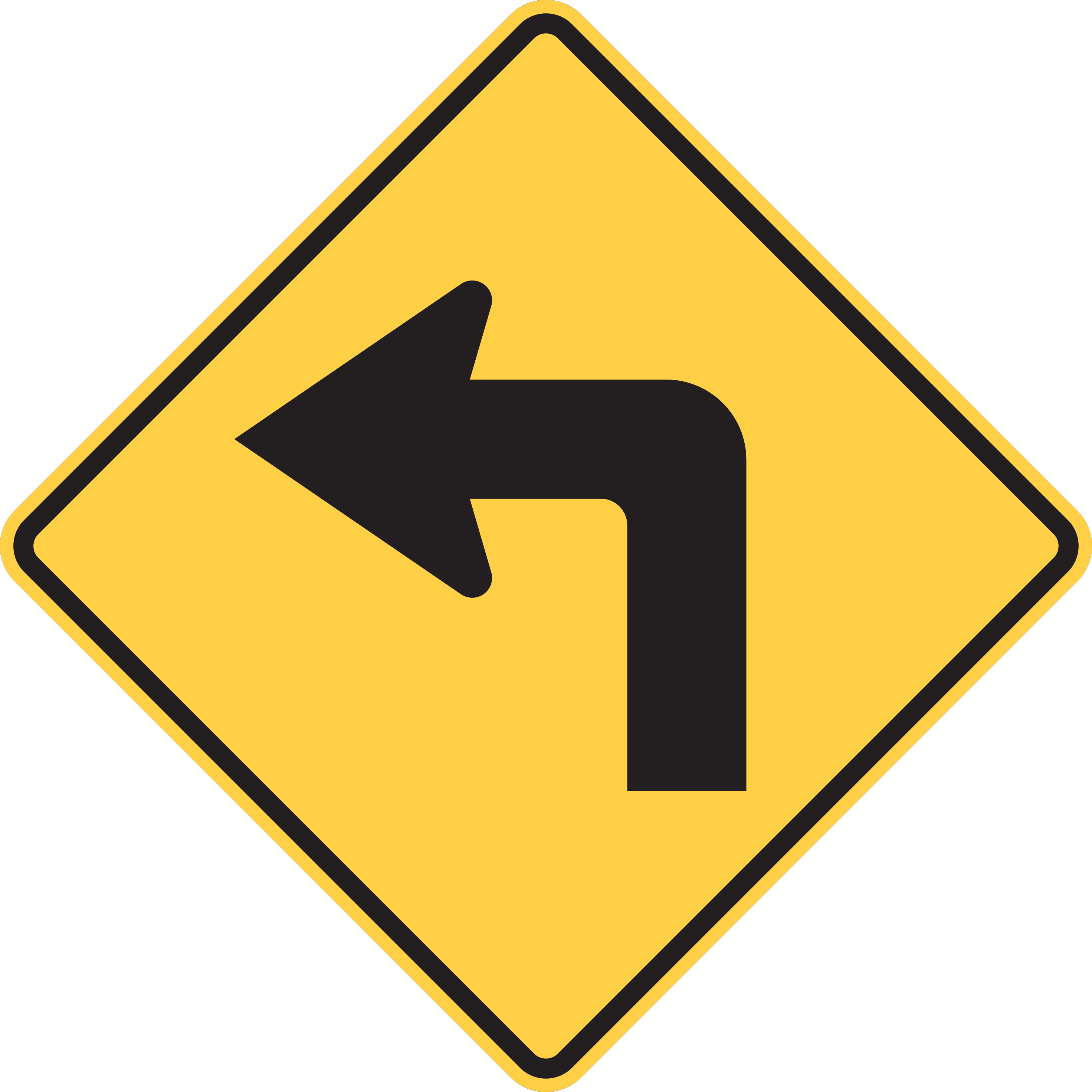
A sharp turn in the road is ahead; reduce speed before entering the turn.
Slow down and prepare to negotiate a sharp turn in the direction indicated by the arrow.
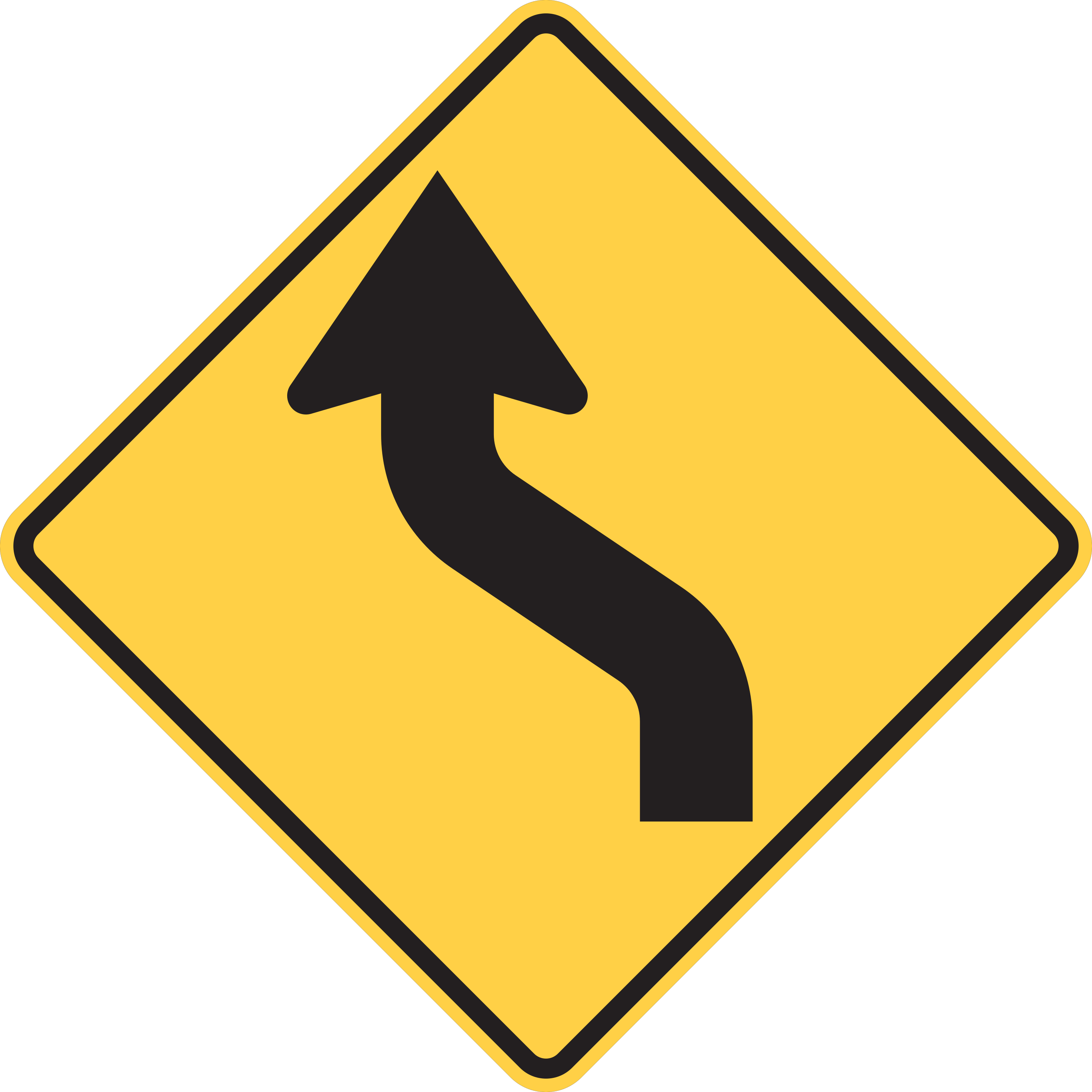
Two gradual curves in opposite directions are ahead.
Adjust speed appropriately and steer through the first curve followed smoothly by the second curve in the opposite direction.
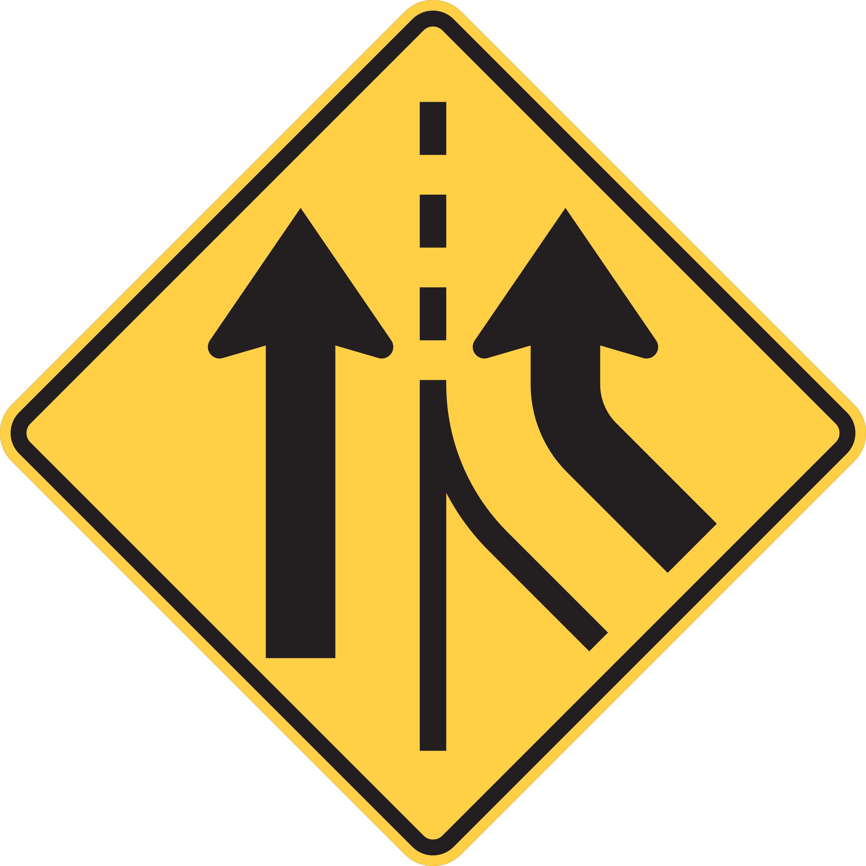
A new travel lane begins; entering traffic does not need to merge.
Continue in your lane without stopping or making sudden merges, but remain alert for lane changes by other drivers.
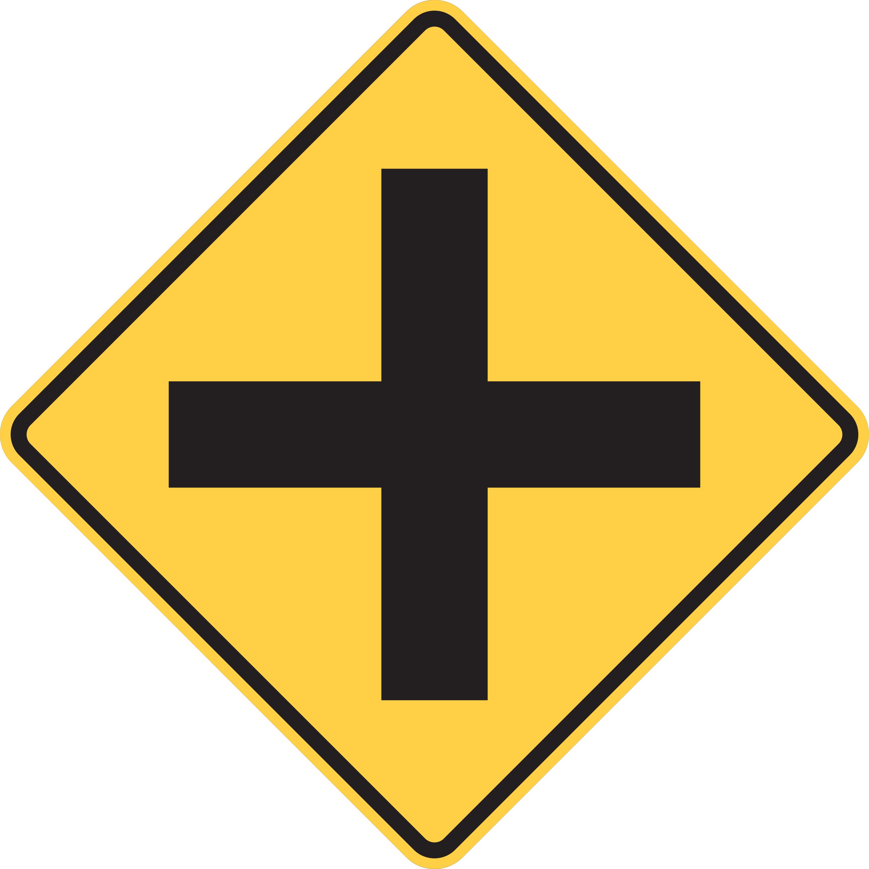
An intersection is ahead, with possible entering or turning traffic.
Watch for traffic entering or turning at the intersection ahead.
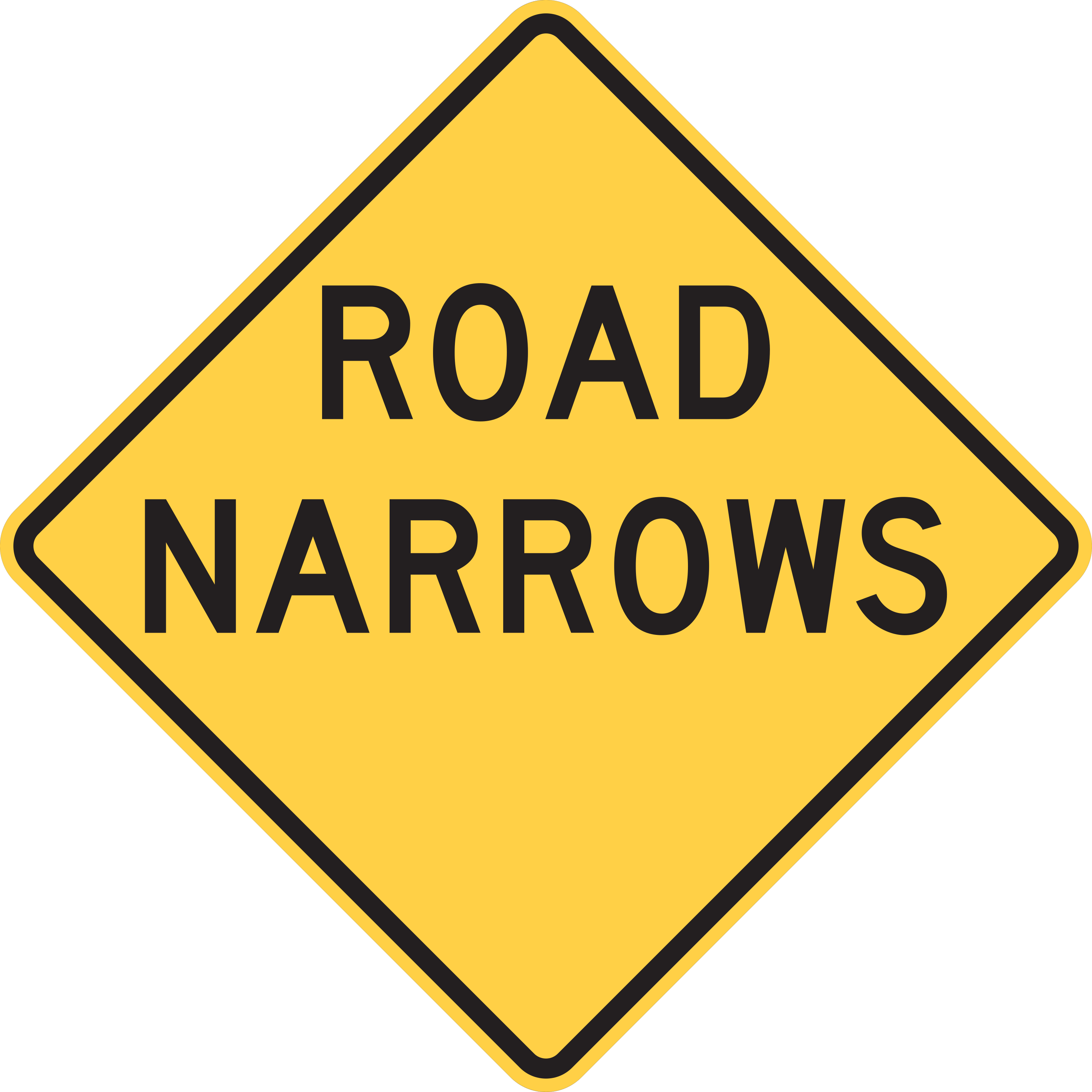
The roadway narrows ahead without a loss of travel lanes.
Slow down, stay centered within your lane, and exercise increased caution passing approaching vehicles.
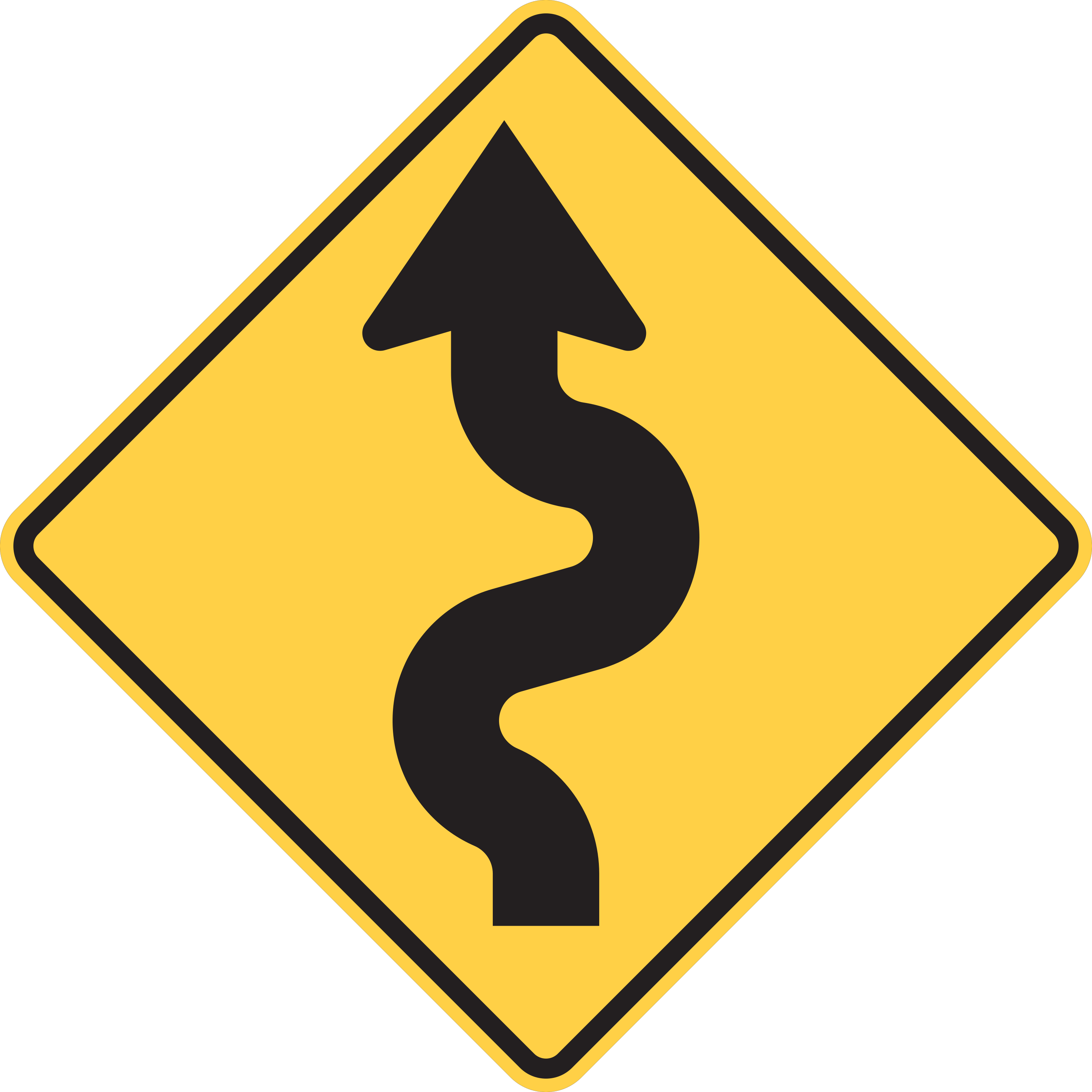
A sequence of three or more curves is ahead.
Slow down and prepare to navigate multiple consecutive curves over the upcoming roadway section.
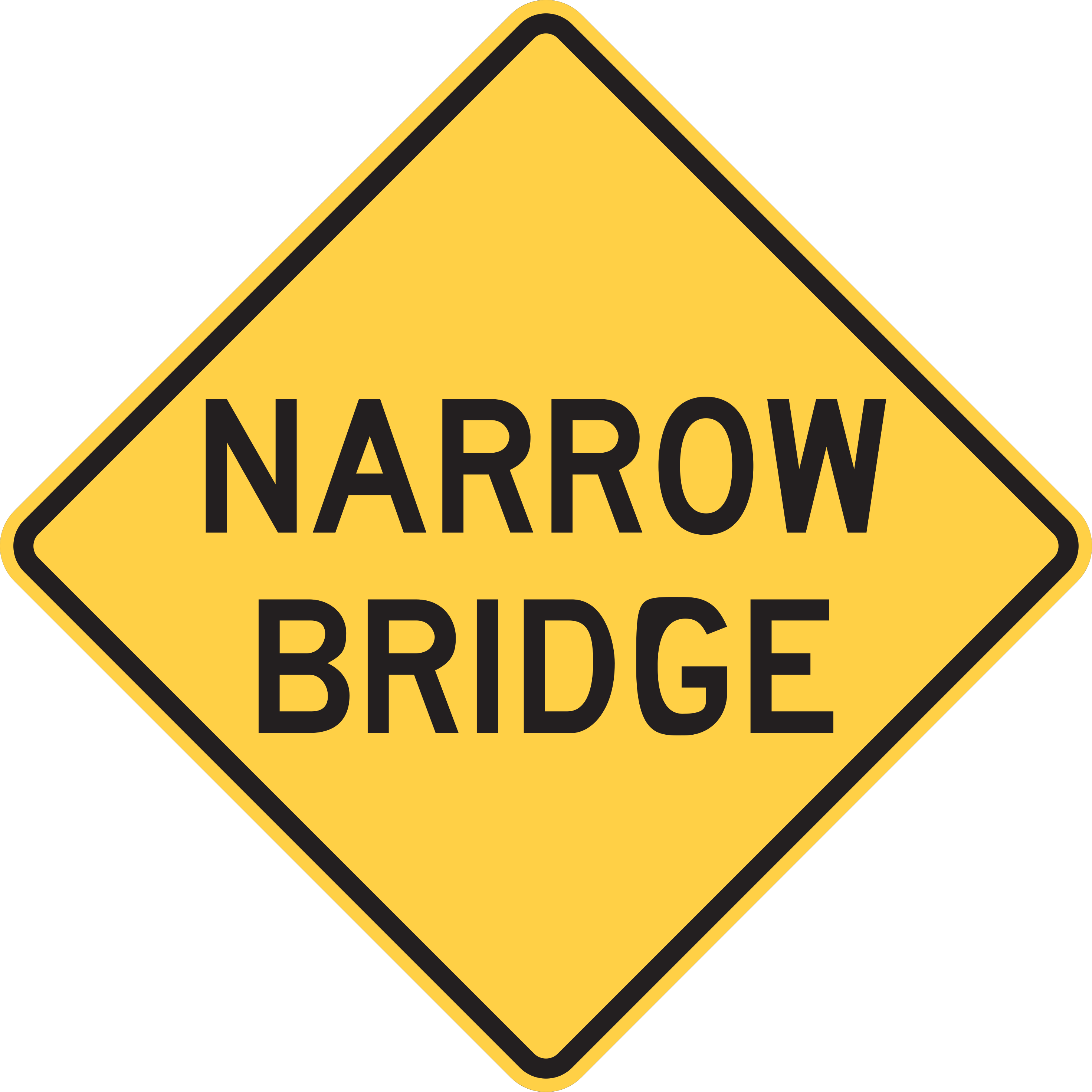
An upcoming bridge has a narrower roadway than the approach road.
Reduce speed, maintain lane centering, and take care when meeting wide opposing vehicles on the bridge structure.
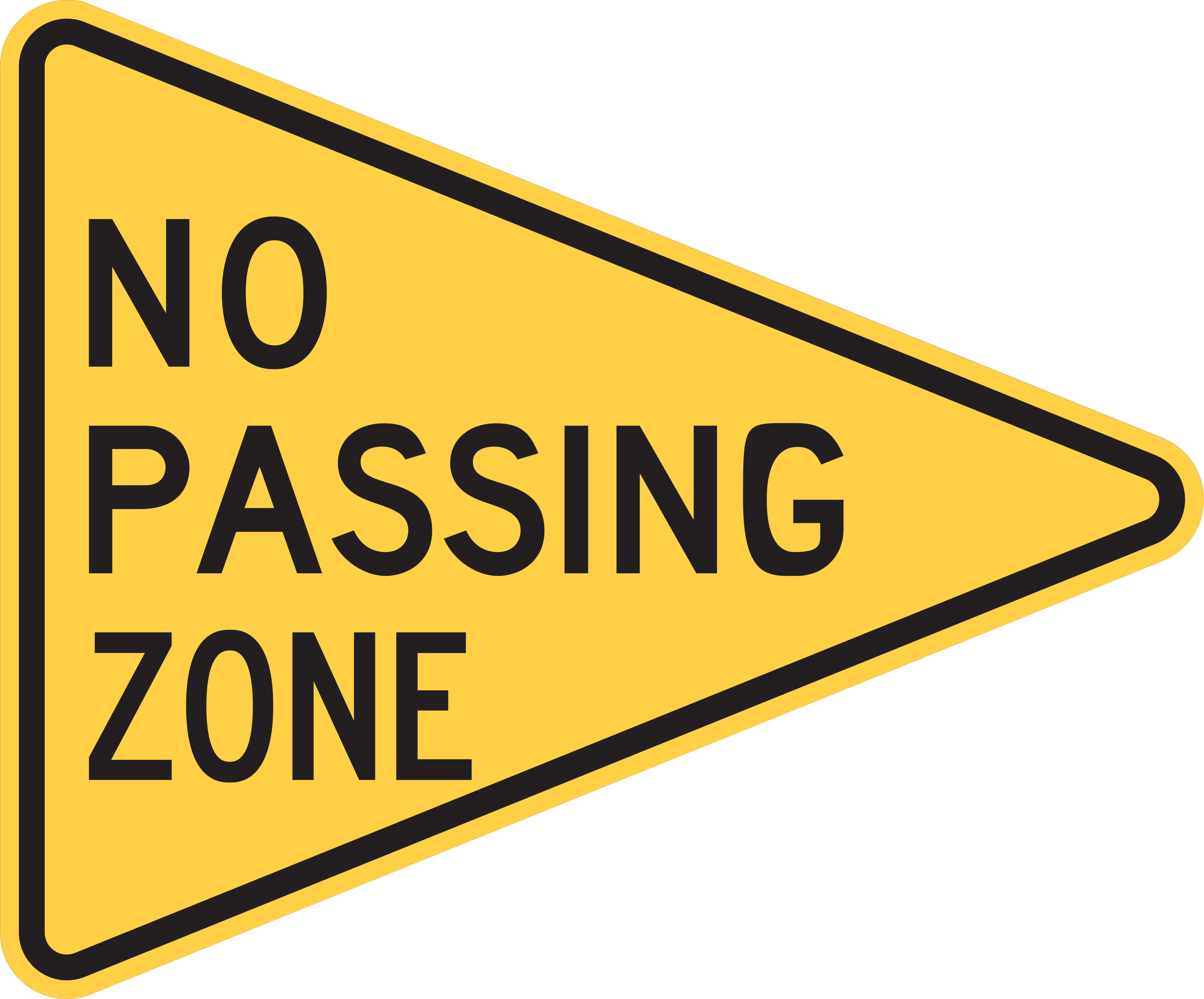
A no-passing zone begins here.
Do not begin passing in the no-passing zone.
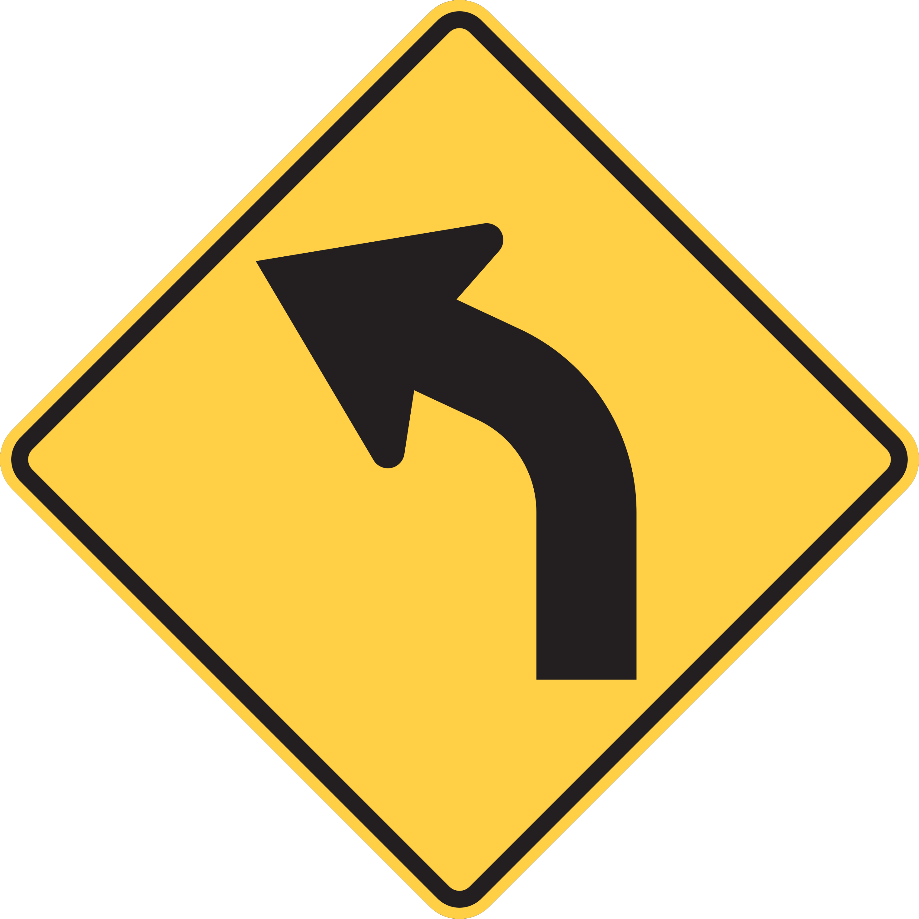
A gradual curve in the road is ahead; adjust speed as appropriate.
Adjust your speed and steer along the curve in the direction indicated by the arrow.
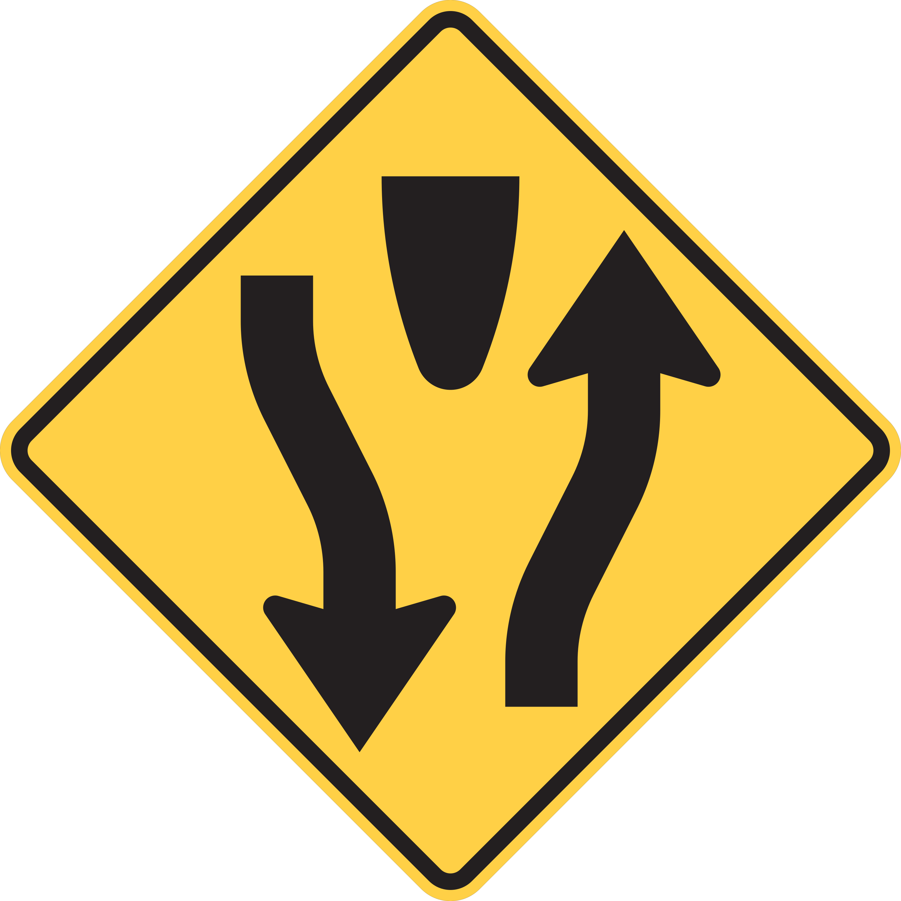
The roadway ahead is divided by a median or physical barrier.
Keep to the right of the upcoming physical divider or median island.
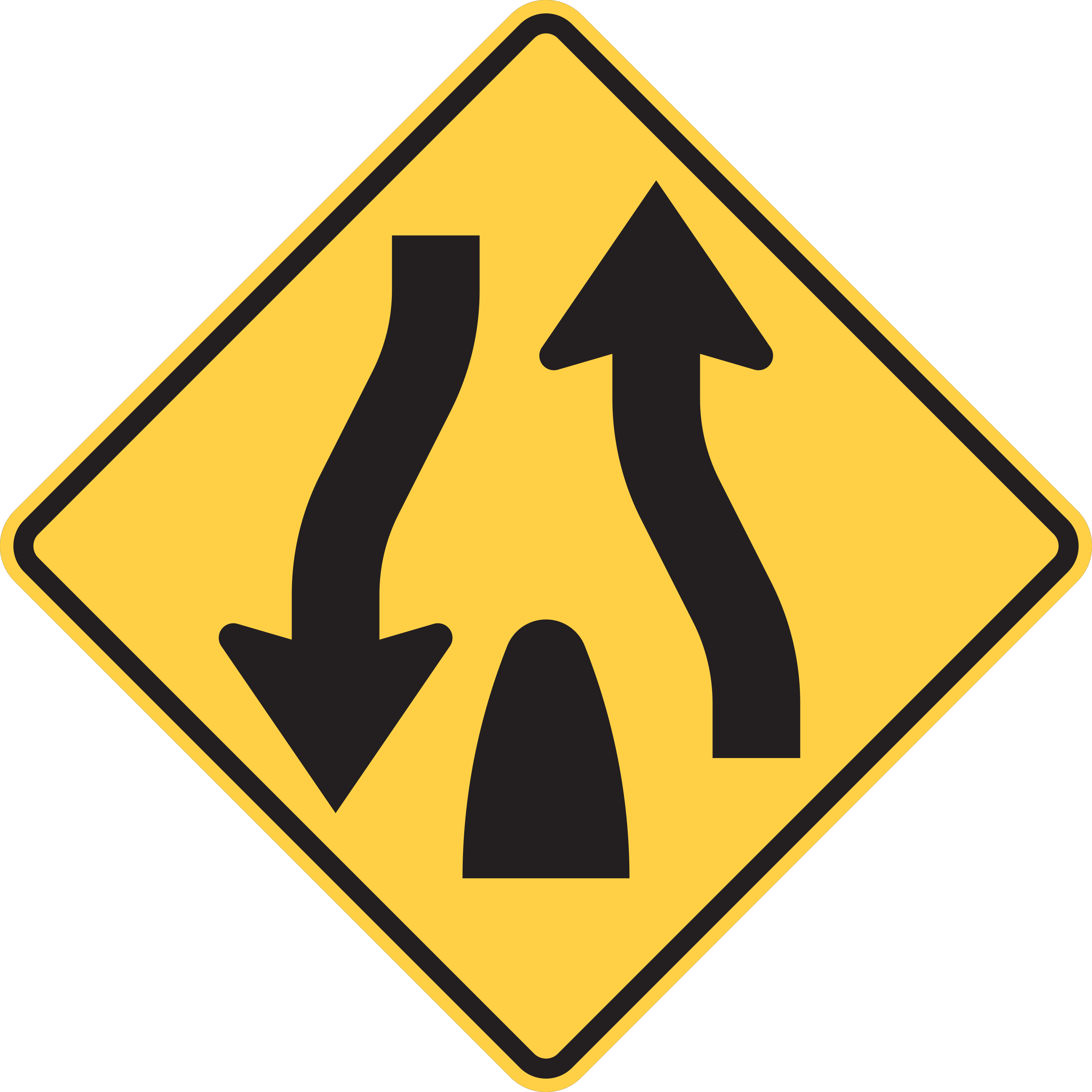
The divided roadway ends and two-way undivided traffic resumes.
Keep right and prepare for oncoming traffic in the adjacent opposing lane without a separating barrier.
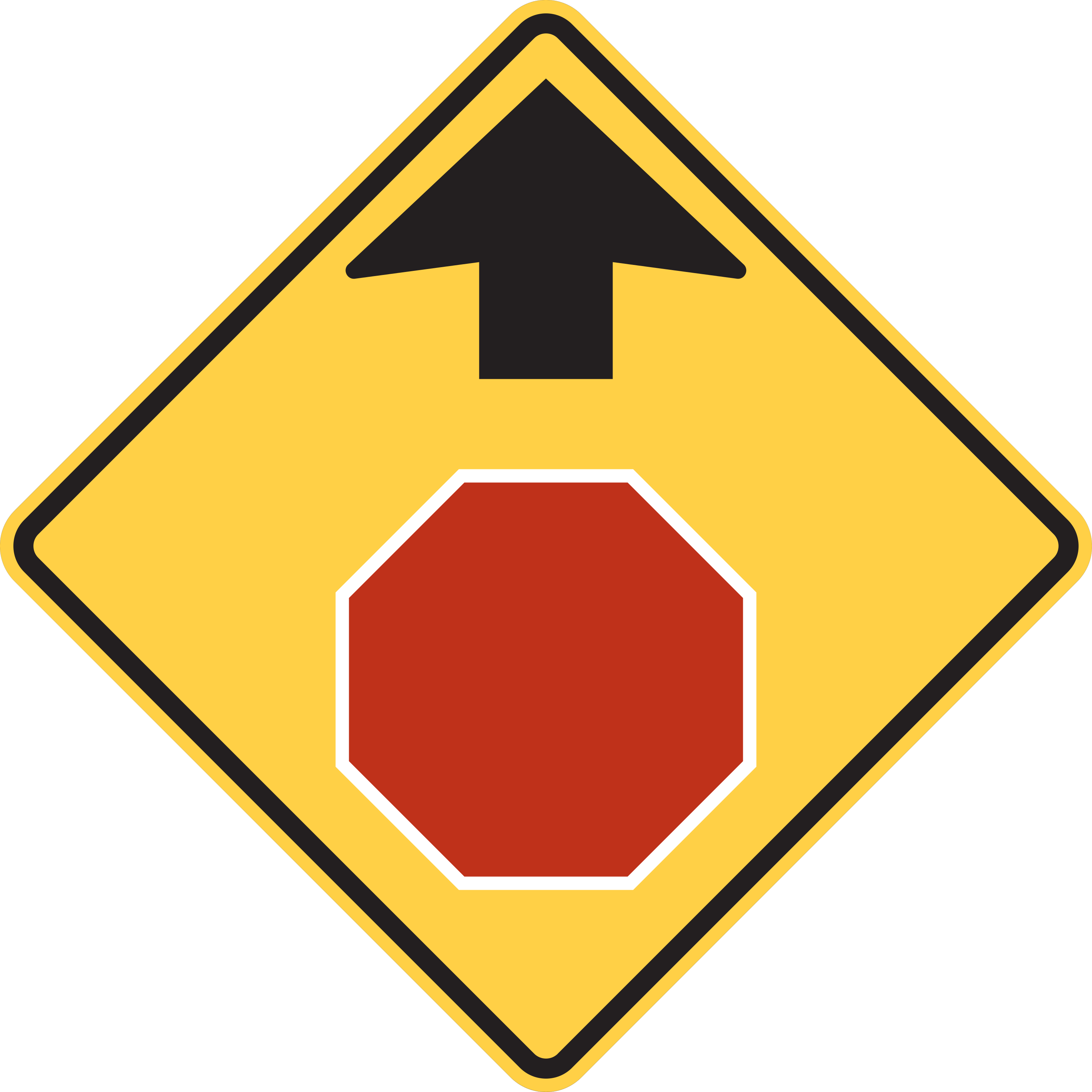
A STOP sign is ahead.
Prepare to stop at the STOP sign ahead.
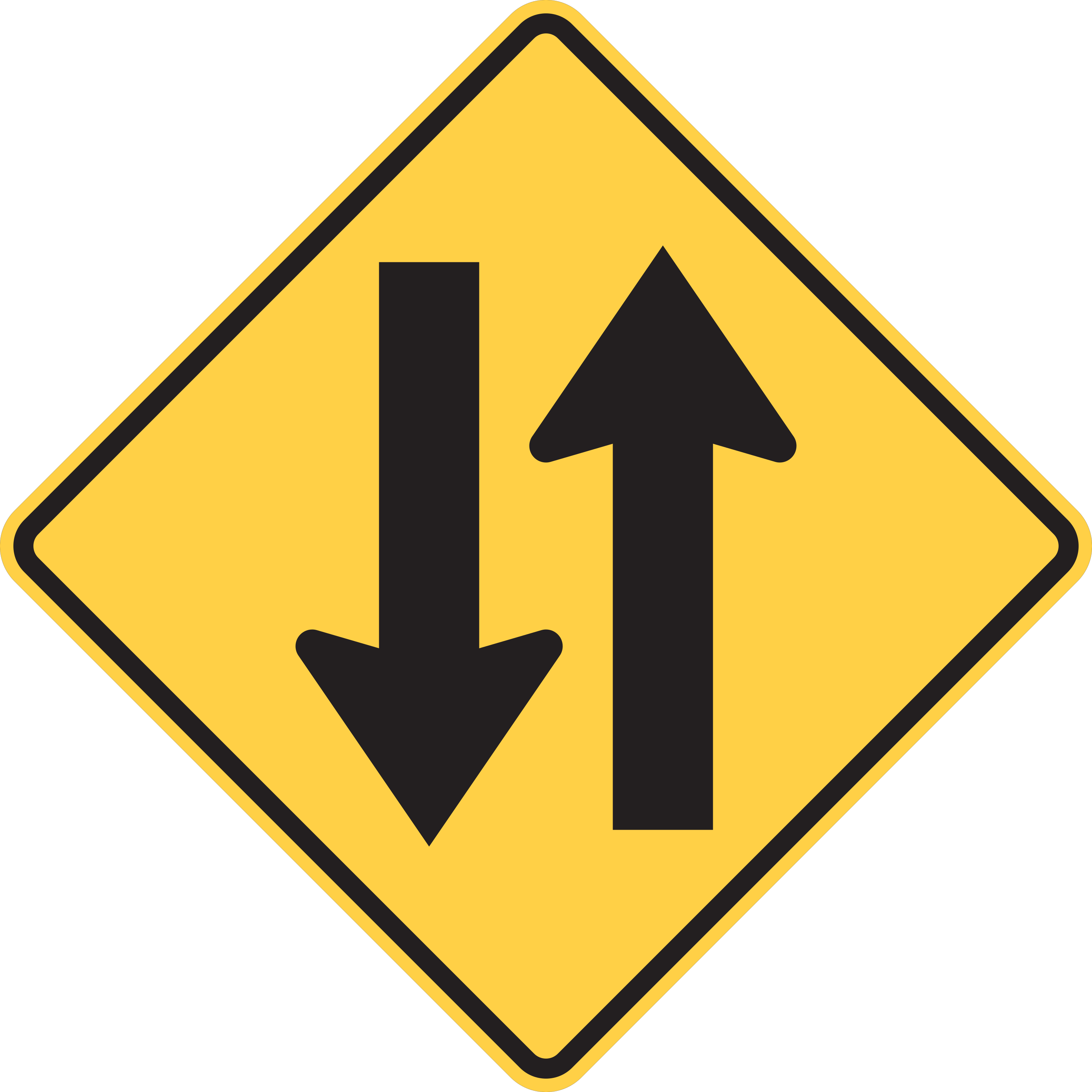
The roadway ahead carries two-way traffic in opposite directions.
Stay in your lane and watch for opposing traffic approaching directly in the adjacent oncoming lane.
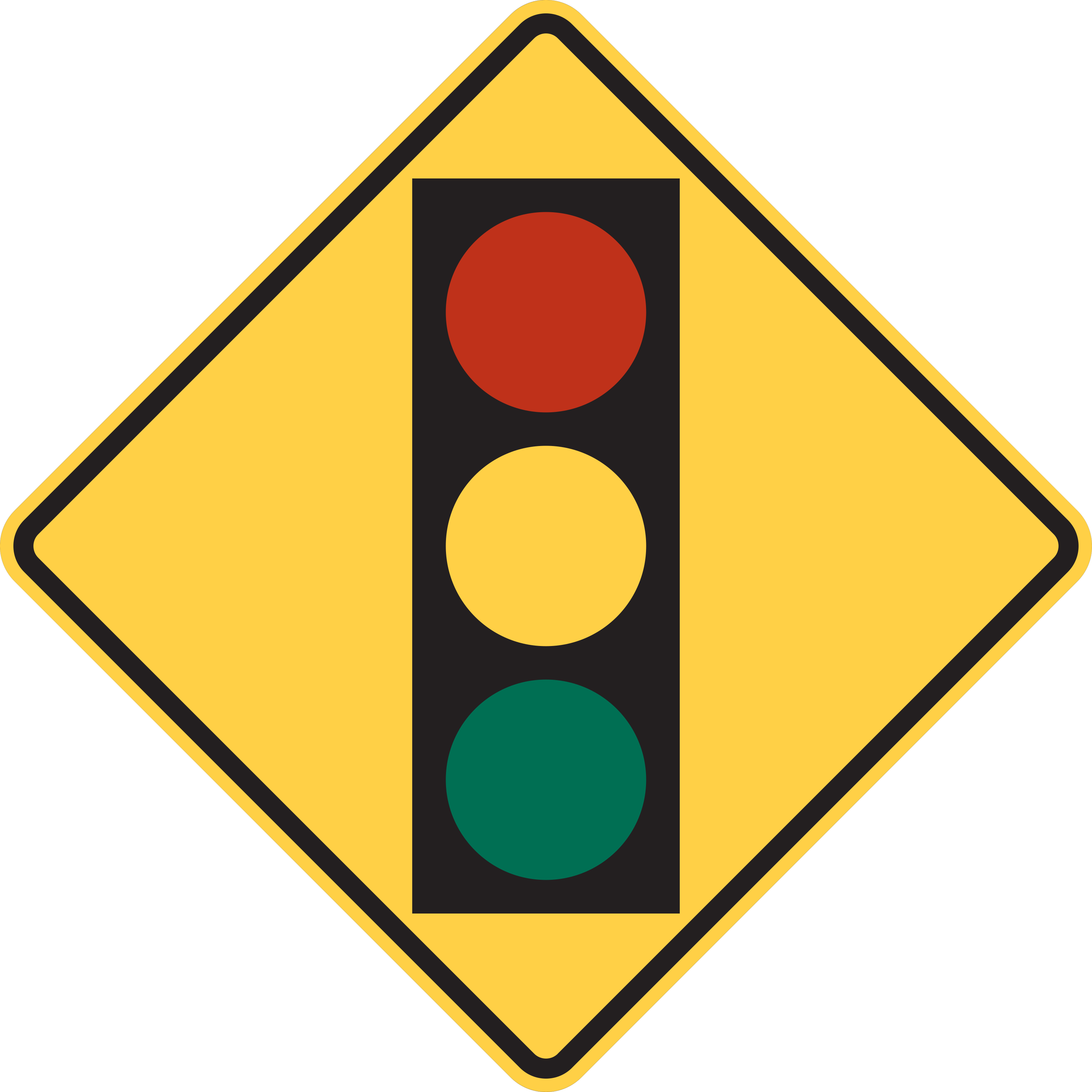
A traffic control signal is ahead on the roadway.
Prepare to slow down or stop if the upcoming traffic signal displays a red or yellow indication.
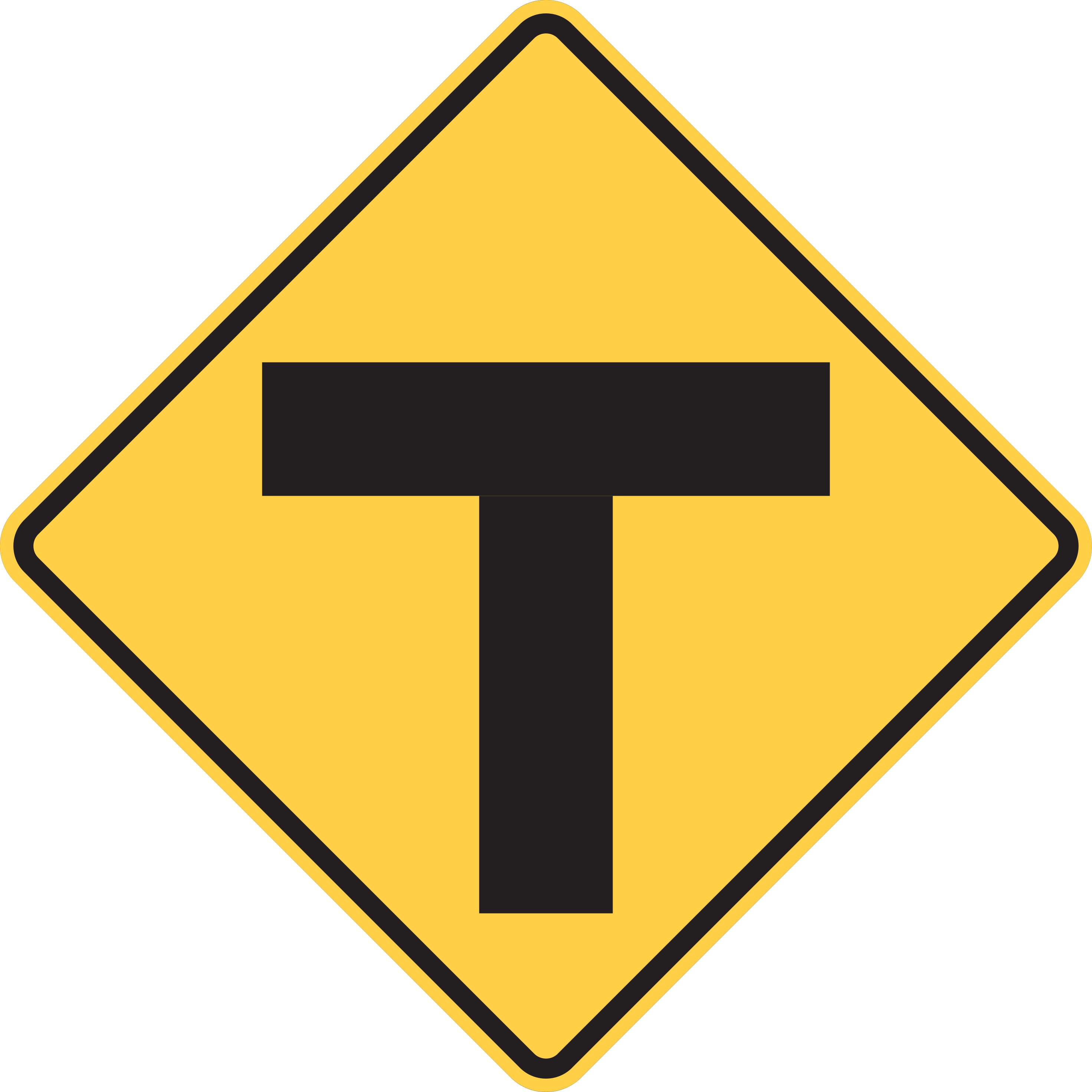
The roadway ends ahead at a T-intersection; drivers must turn left or right.
Slow down and prepare to yield or stop before turning left or right onto the cross road.
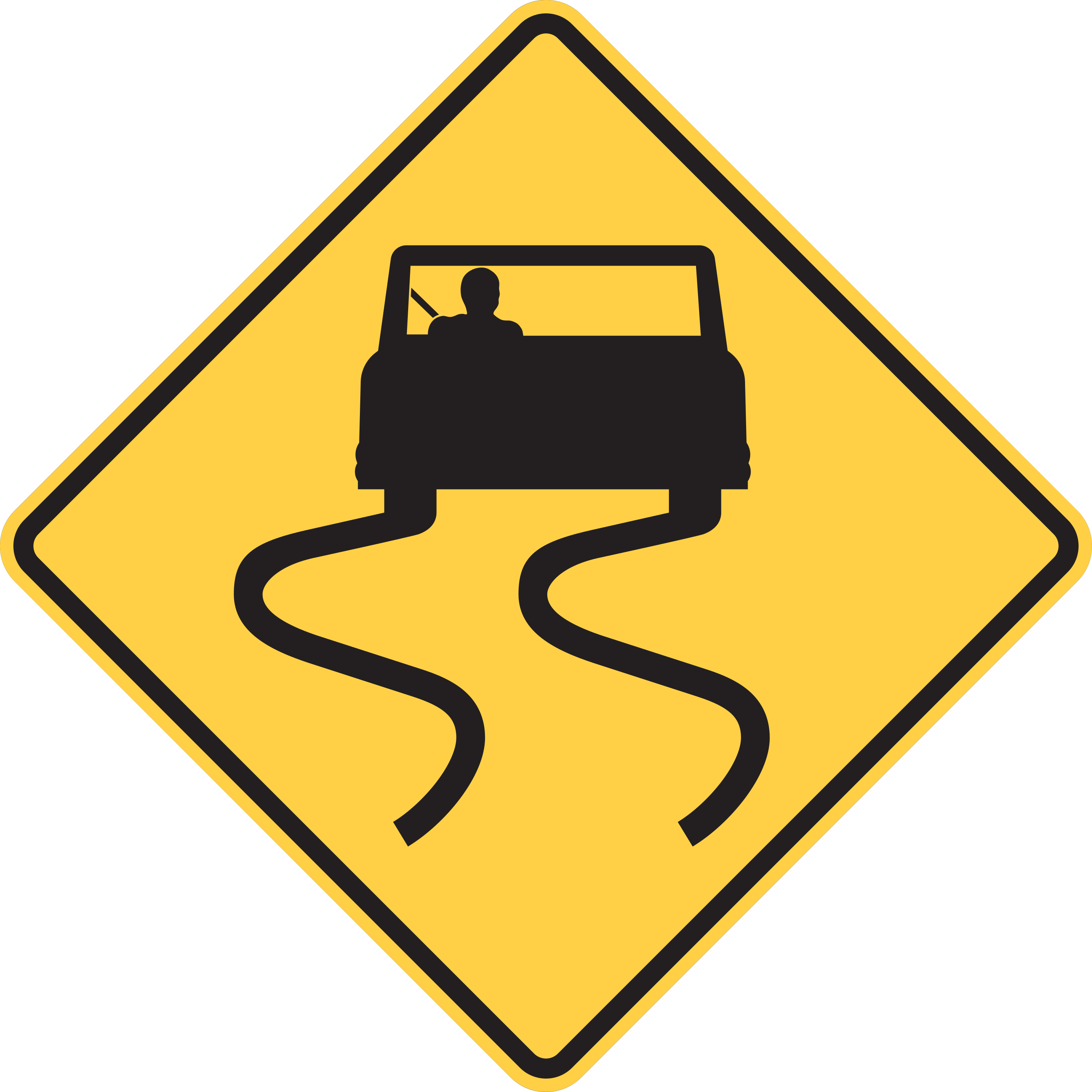
The roadway may have unexpected slippery conditions.
Use extra caution for the slippery surface indicated.
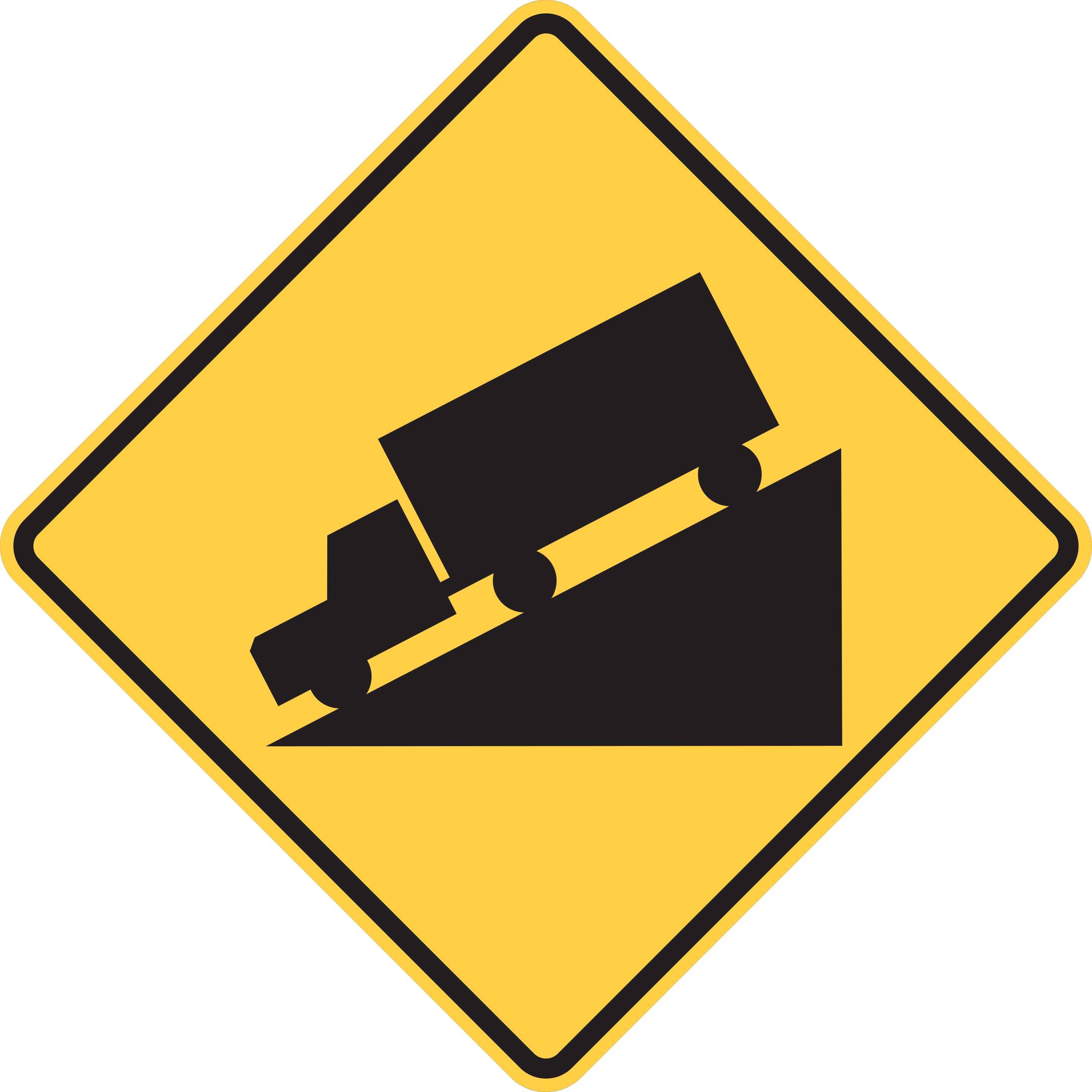
A steep downhill grade is ahead on the roadway.
Slow down, shift to a lower gear if driving a heavy vehicle, and avoid riding brakes on the descent.
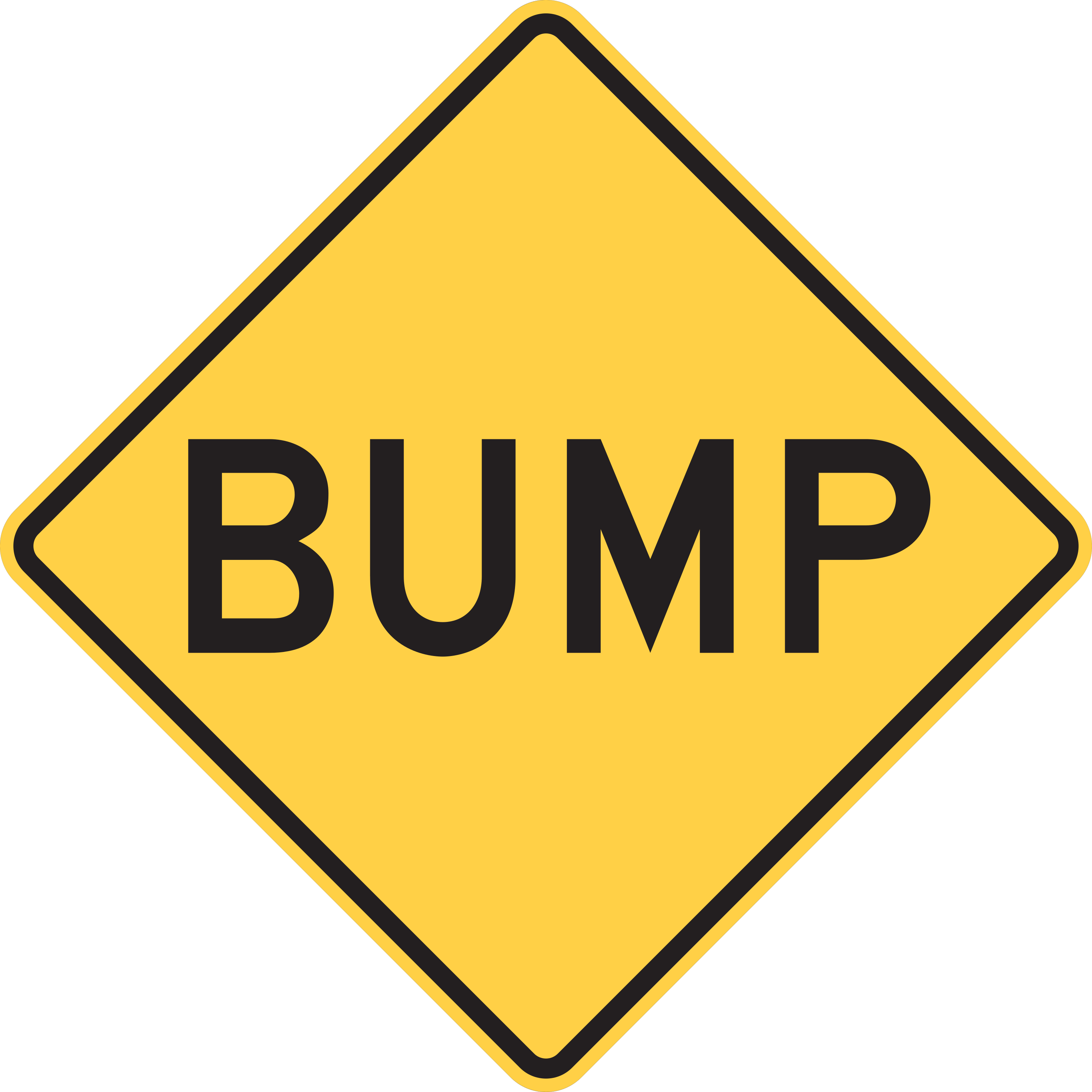
A sudden raised ridge or bump is in the road surface ahead; slow down.
Reduce your speed before reaching the bump to maintain vehicle control and avoid damage.
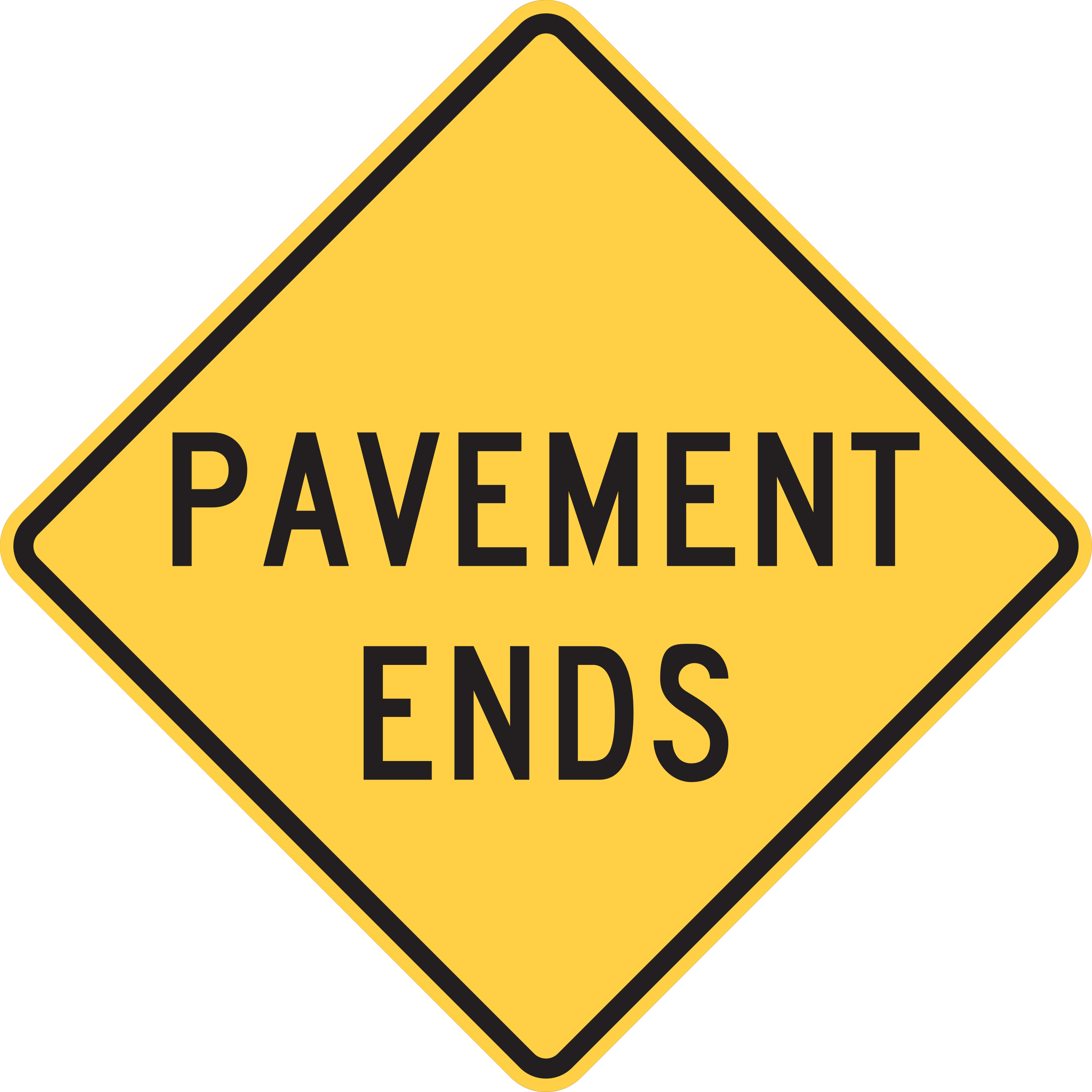
The paved road surface ends and transitions to an unpaved surface.
Slow down before reaching the unpaved surface and prepare for reduced traction and loose gravel.
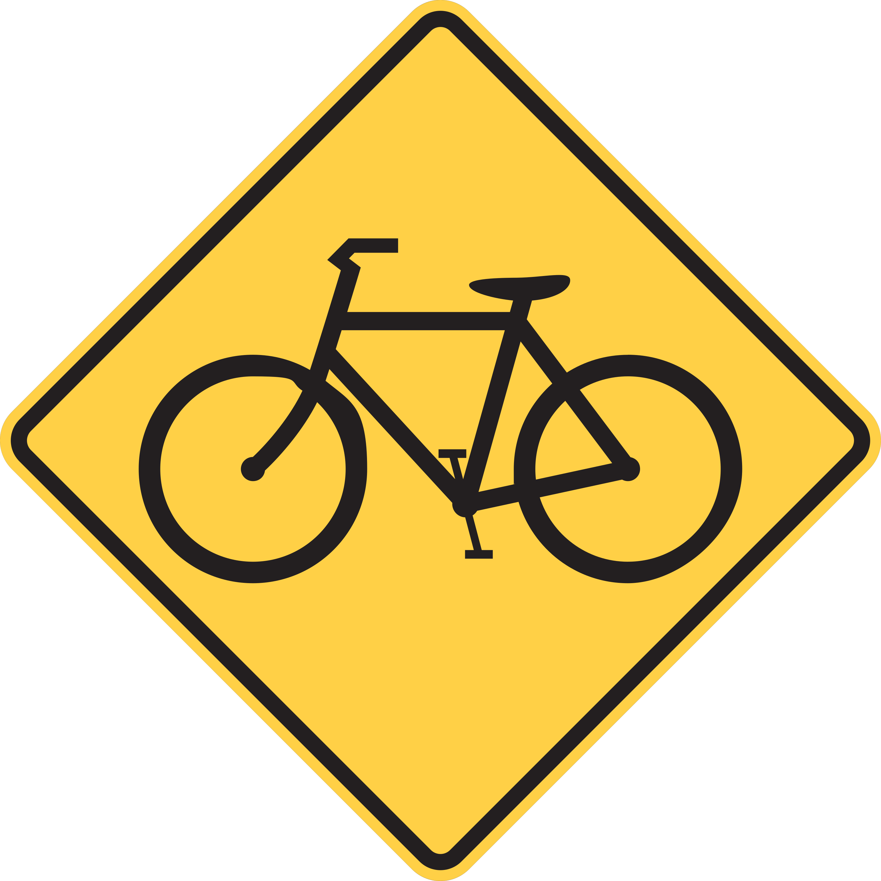
Bicycles may be crossing or sharing the roadway ahead.
Watch for bicyclists, yield the right-of-way where required, and allow ample passing clearance when overtaking.
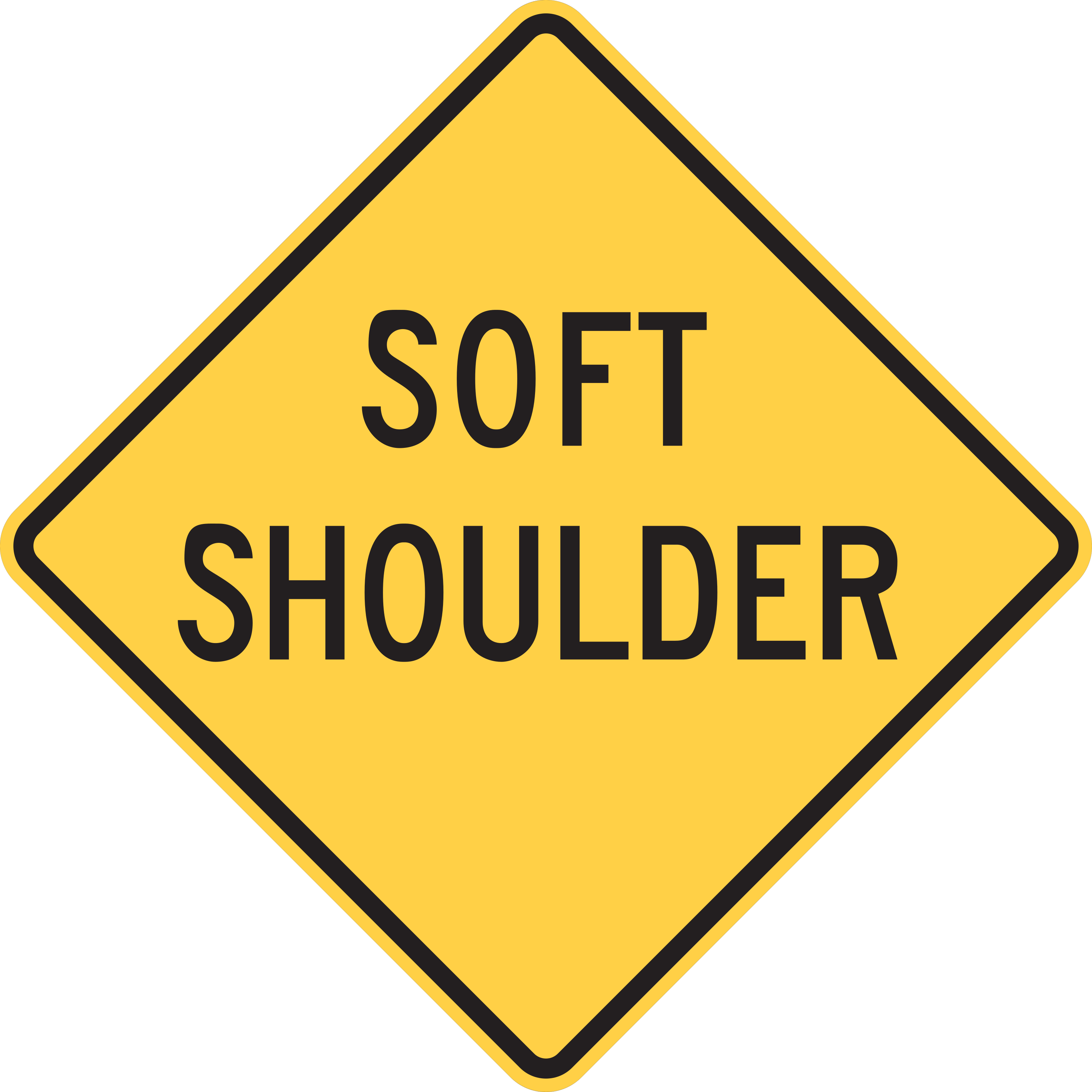
The roadside shoulder is soft, unpaved, or unstable.
Do not drive off the paved roadway surface onto the shoulder except in an absolute emergency.
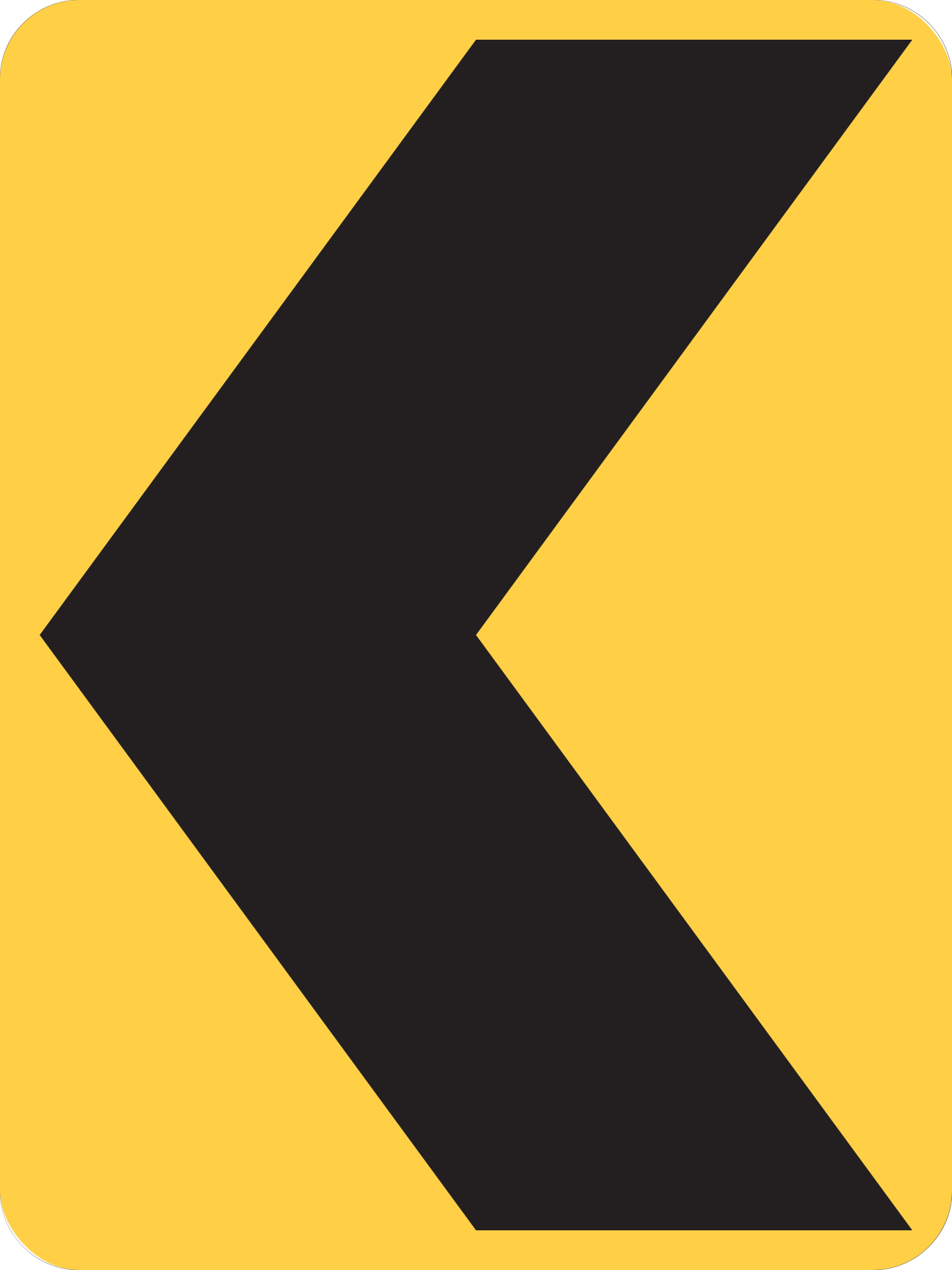
Sharp change in roadway alignment; follow the direction pointed by the chevron.
Slow down and follow the curvature of the road in the direction indicated by the chevron arrow.
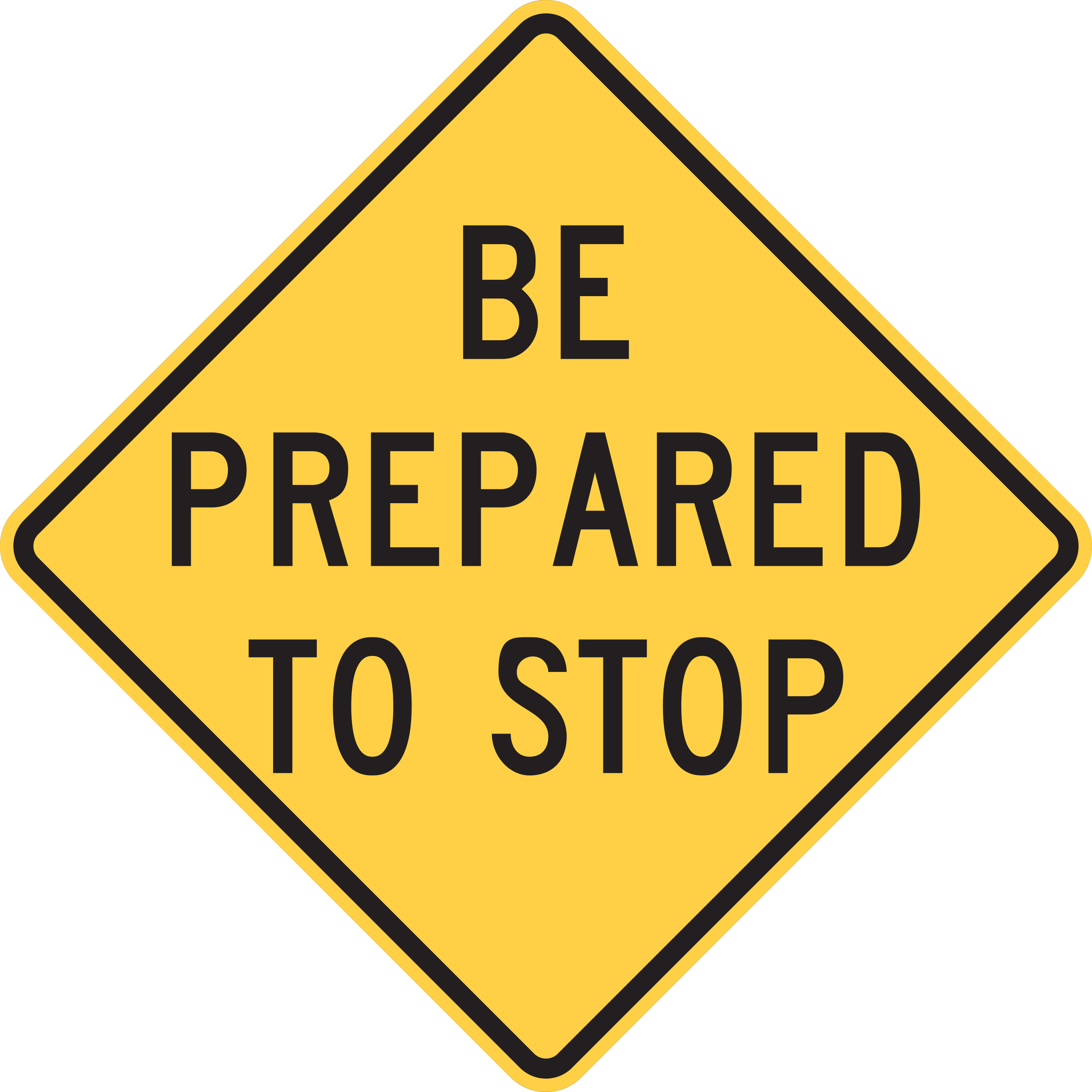
Drivers should be ready to come to a complete stop ahead.
Maintain extra following distance and be ready to brake to a complete stop.
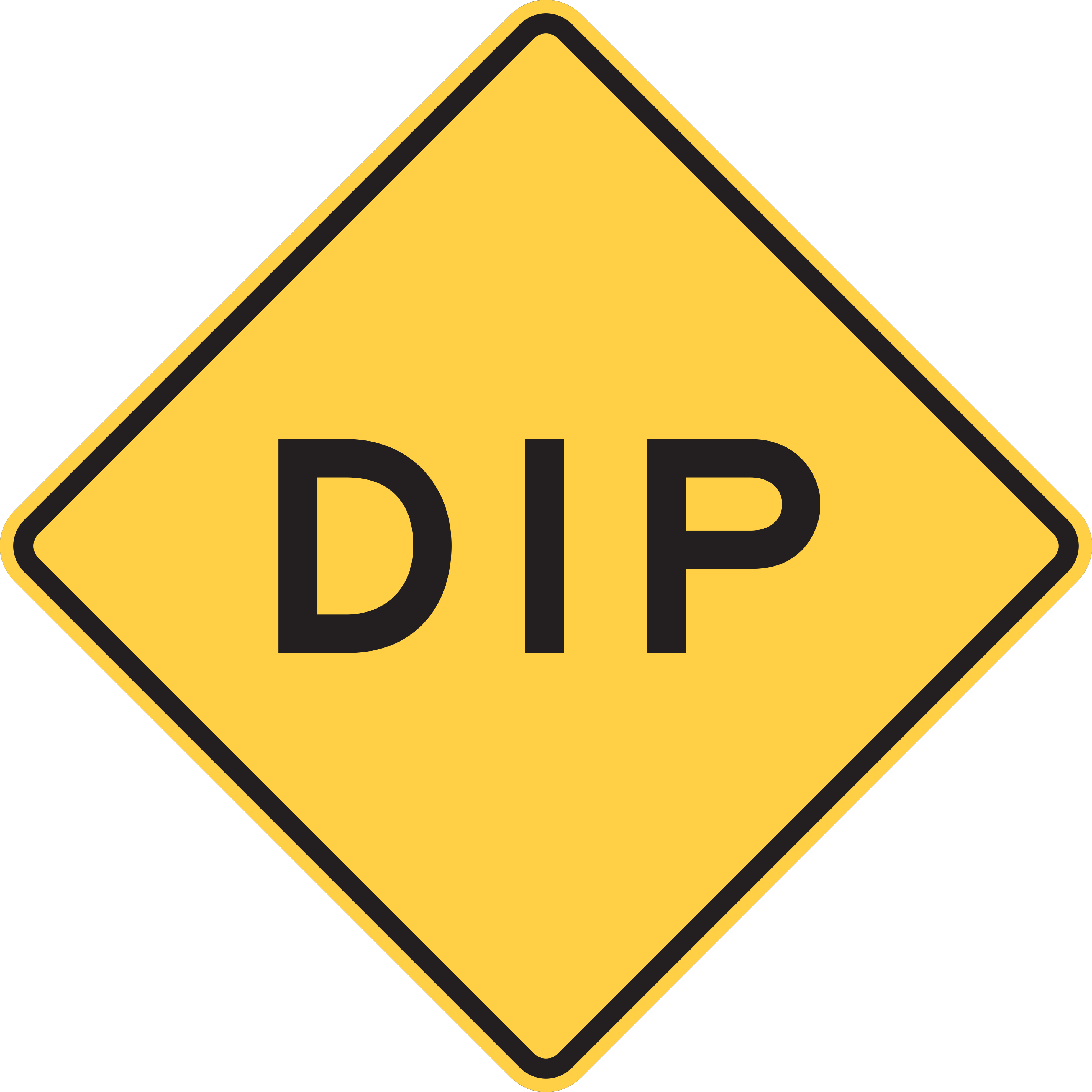
A sudden depression or low spot in the road surface is ahead; slow down.
Reduce speed before reaching the dip to navigate the depression safely without losing vehicle control.
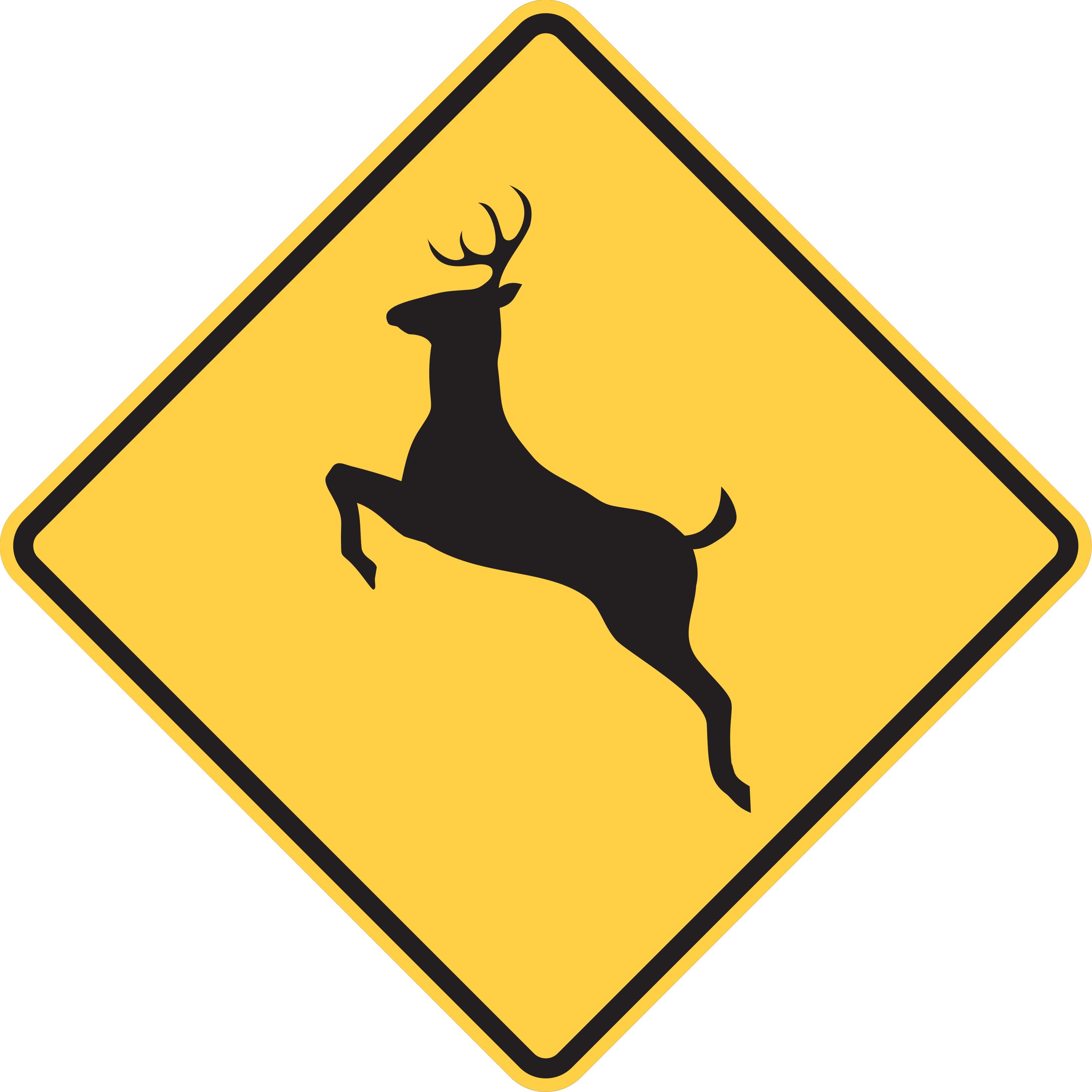
Deer or other large wildlife frequently cross the roadway in this area.
Be vigilant for deer near or on the road, scan roadsides, and be prepared to brake safely.
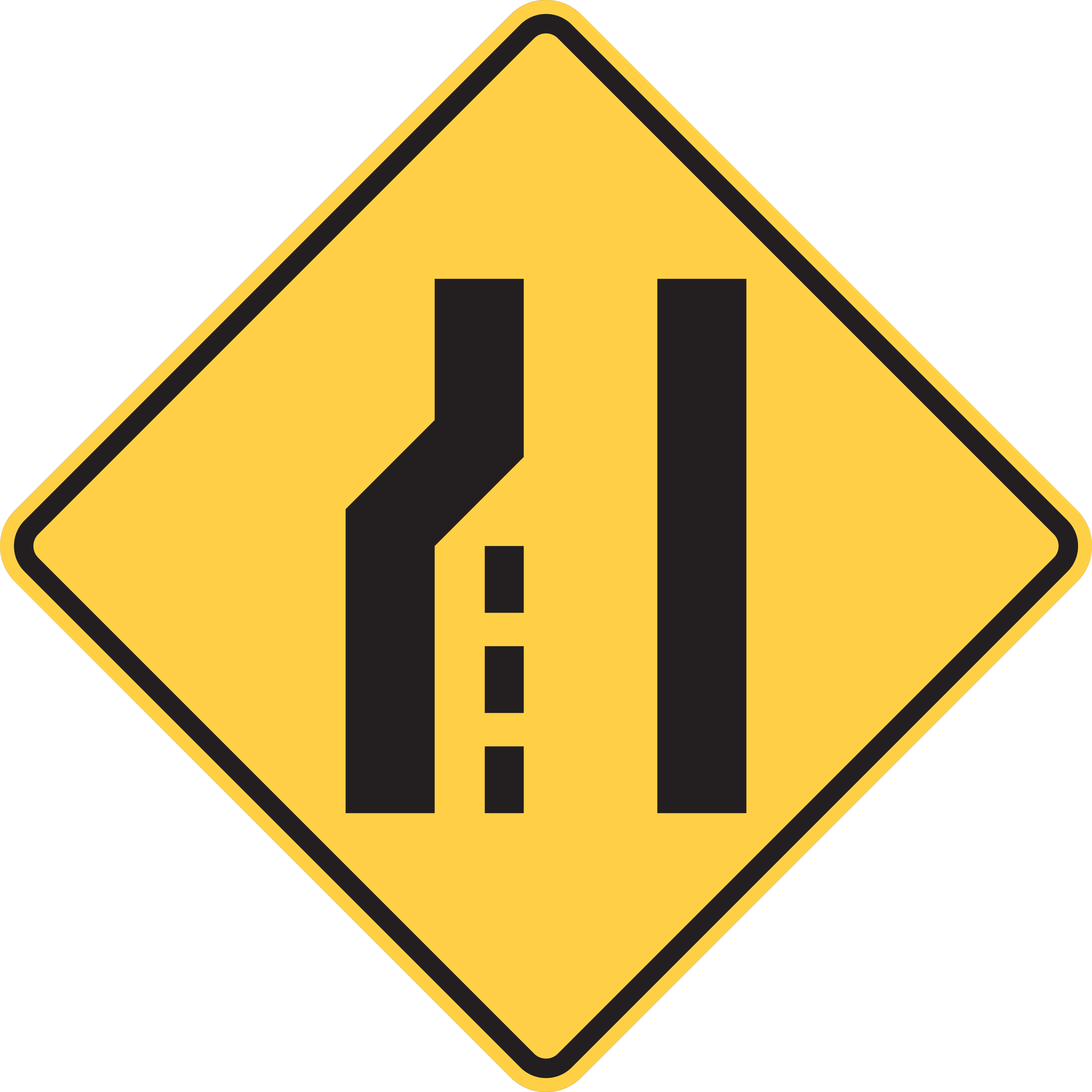
The indicated lane ends ahead; merge smoothly into the adjacent lane.
Check your blind spots, adjust speed, and merge smoothly into the continuous traffic lane.
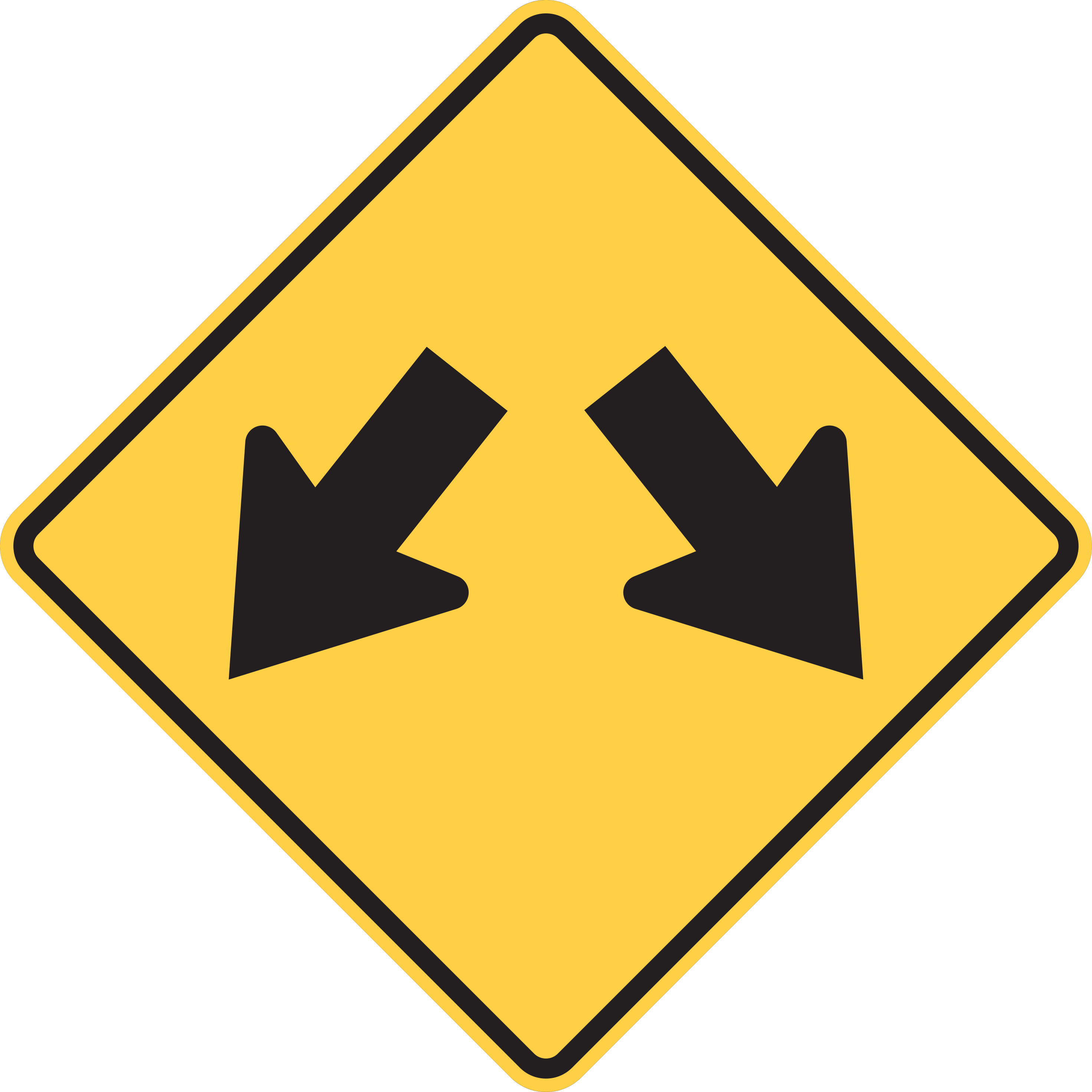
Traffic may pass to either side of the upcoming island or obstruction.
Pass safely on either the left or right side of the obstruction without crossing into opposing lanes.
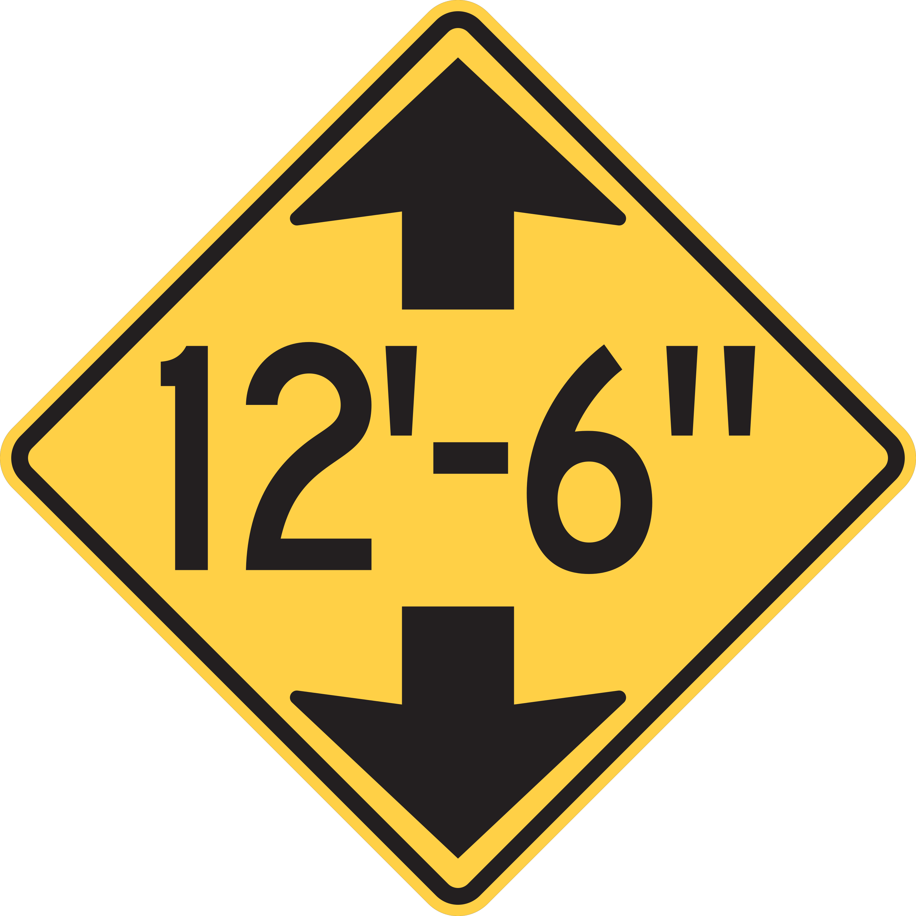
An upcoming overhead structure has limited vertical clearance.
Do not proceed if your vehicle or load exceeds the posted clearance height; find an alternative route.
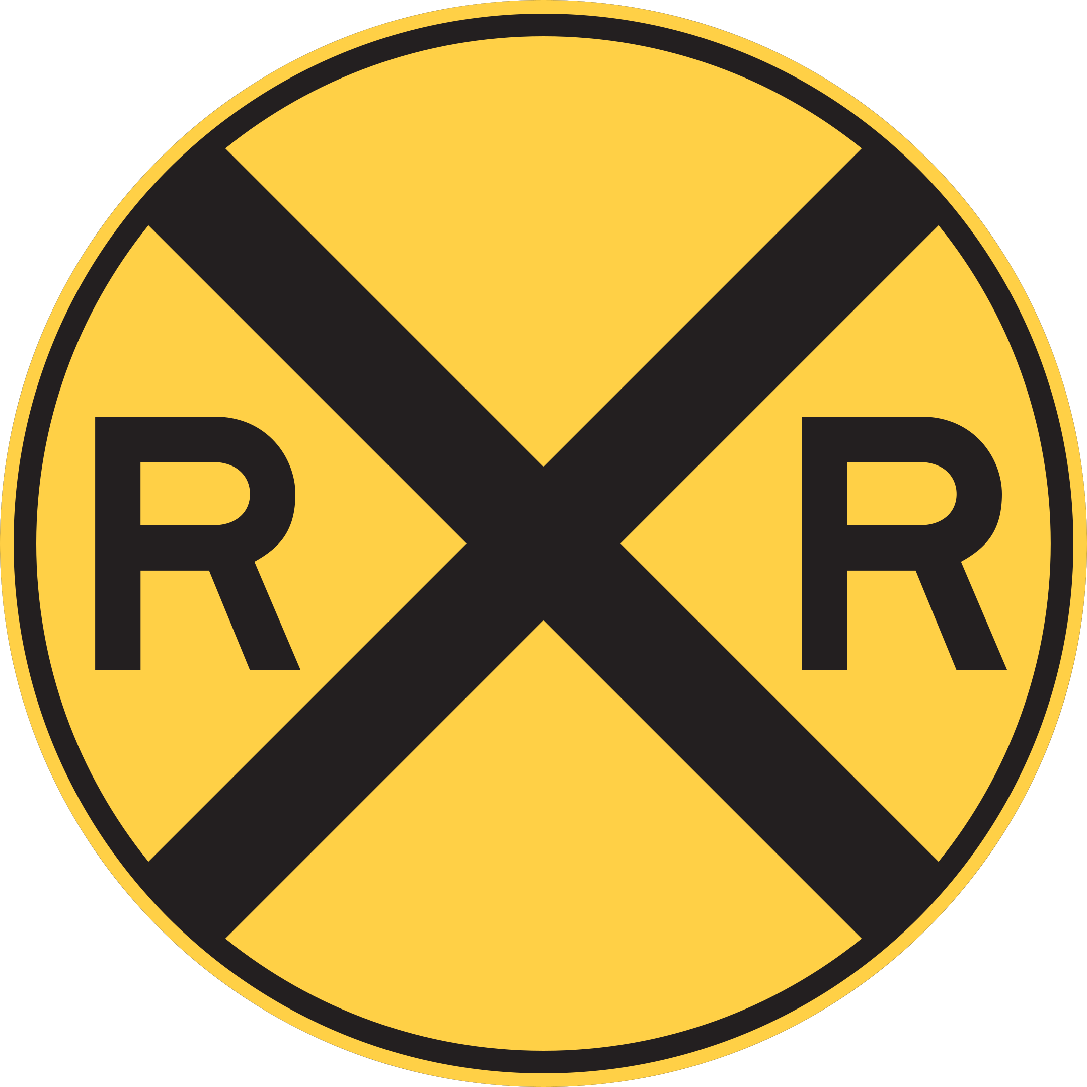
A railroad grade crossing is ahead.
Prepare for the crossing and to yield to rail traffic as necessary.
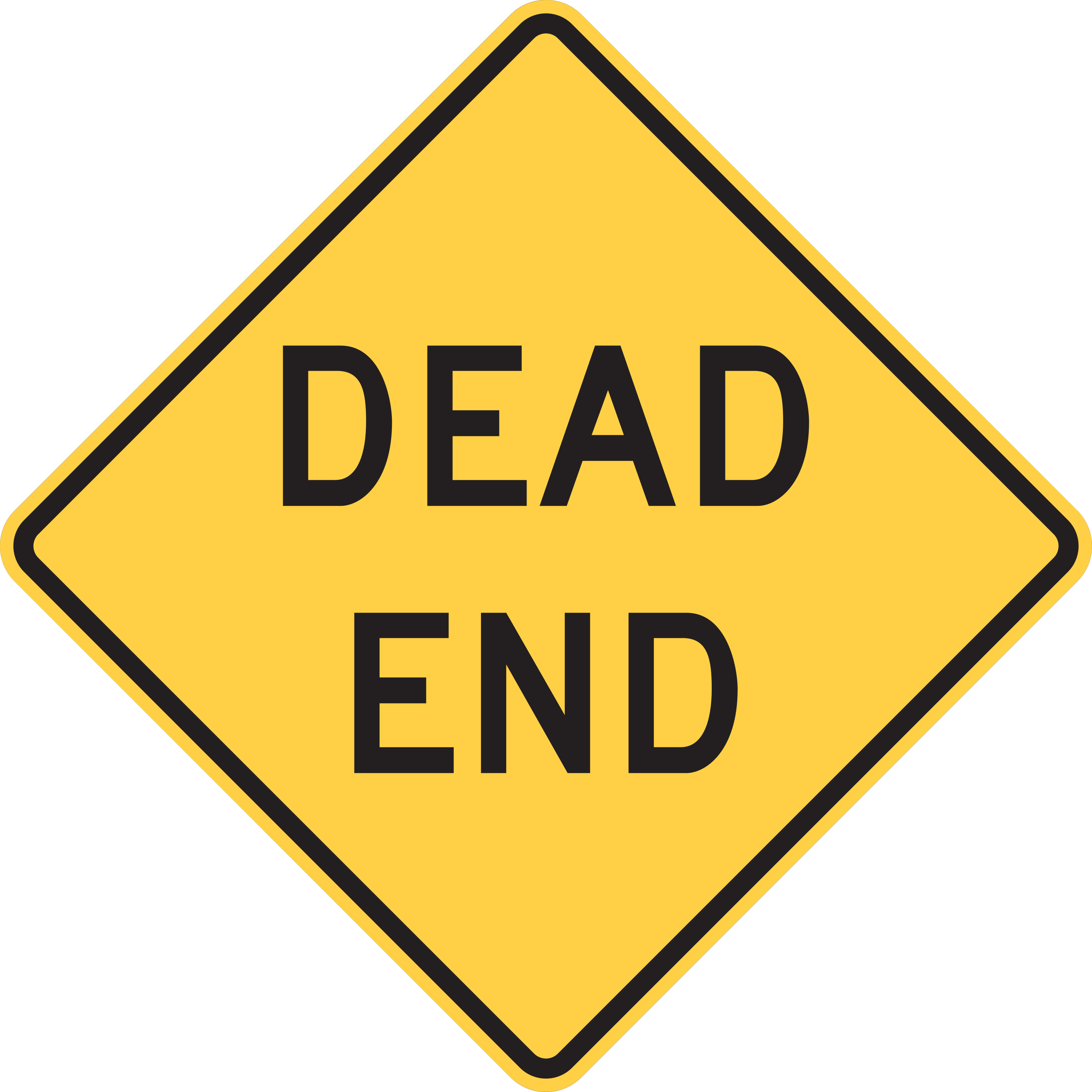
The street has no outlet and terminates ahead.
Do not enter unless accessing a destination on this street; prepare to turn around to exit.
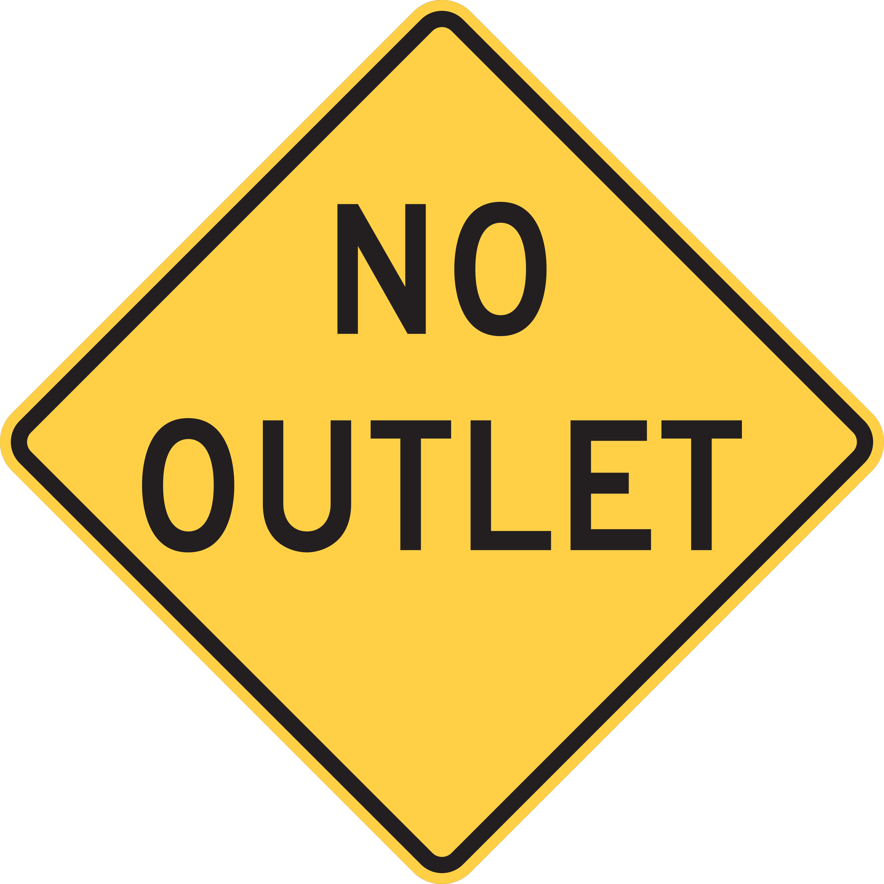
A road network enters a neighborhood without any secondary exit.
Be aware that you must exit via the same entrance route; watch for turning vehicles and pedestrians.
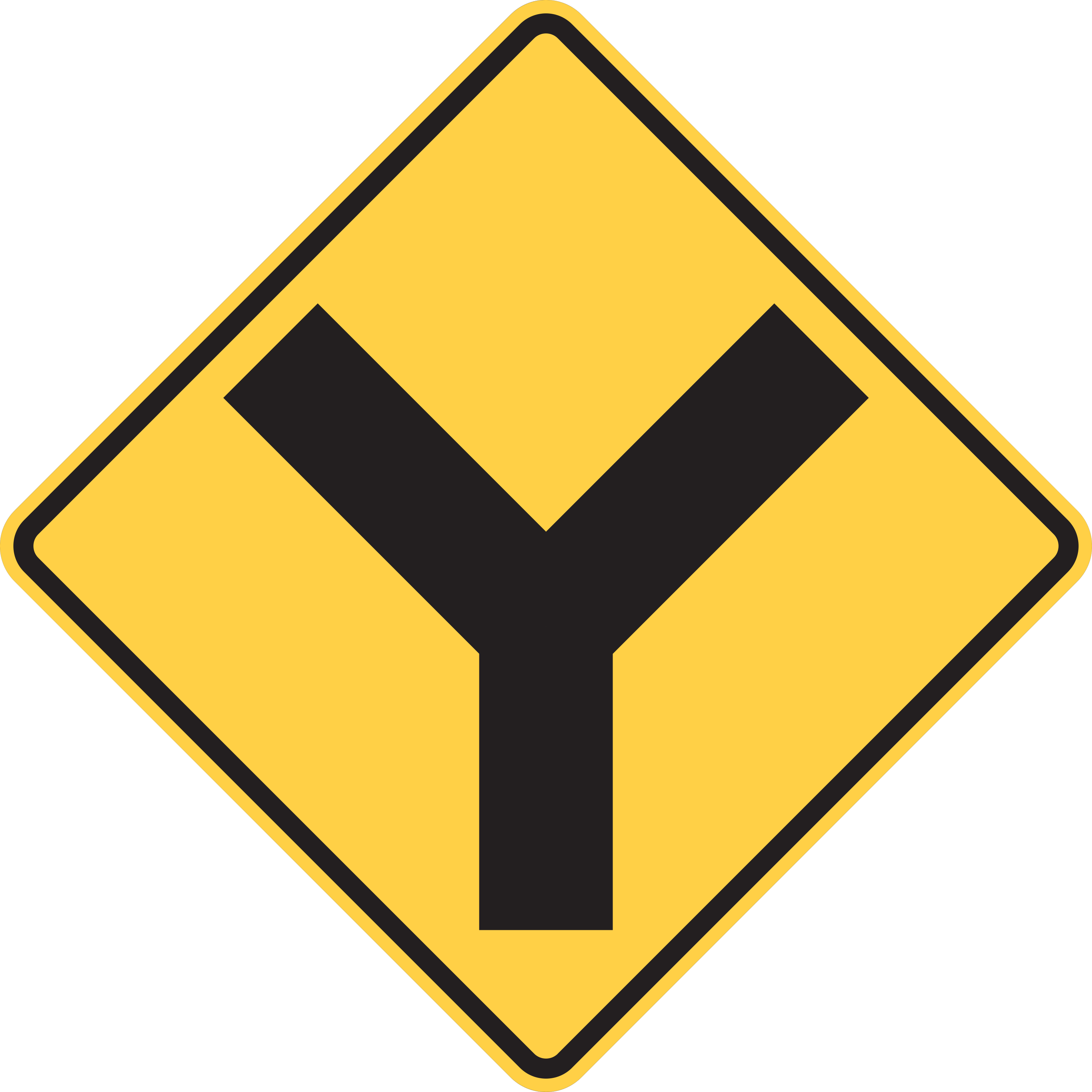
The road ahead splits into two branches forming a Y-intersection.
Choose your lane and prepare to bear left or right as the road divides ahead.
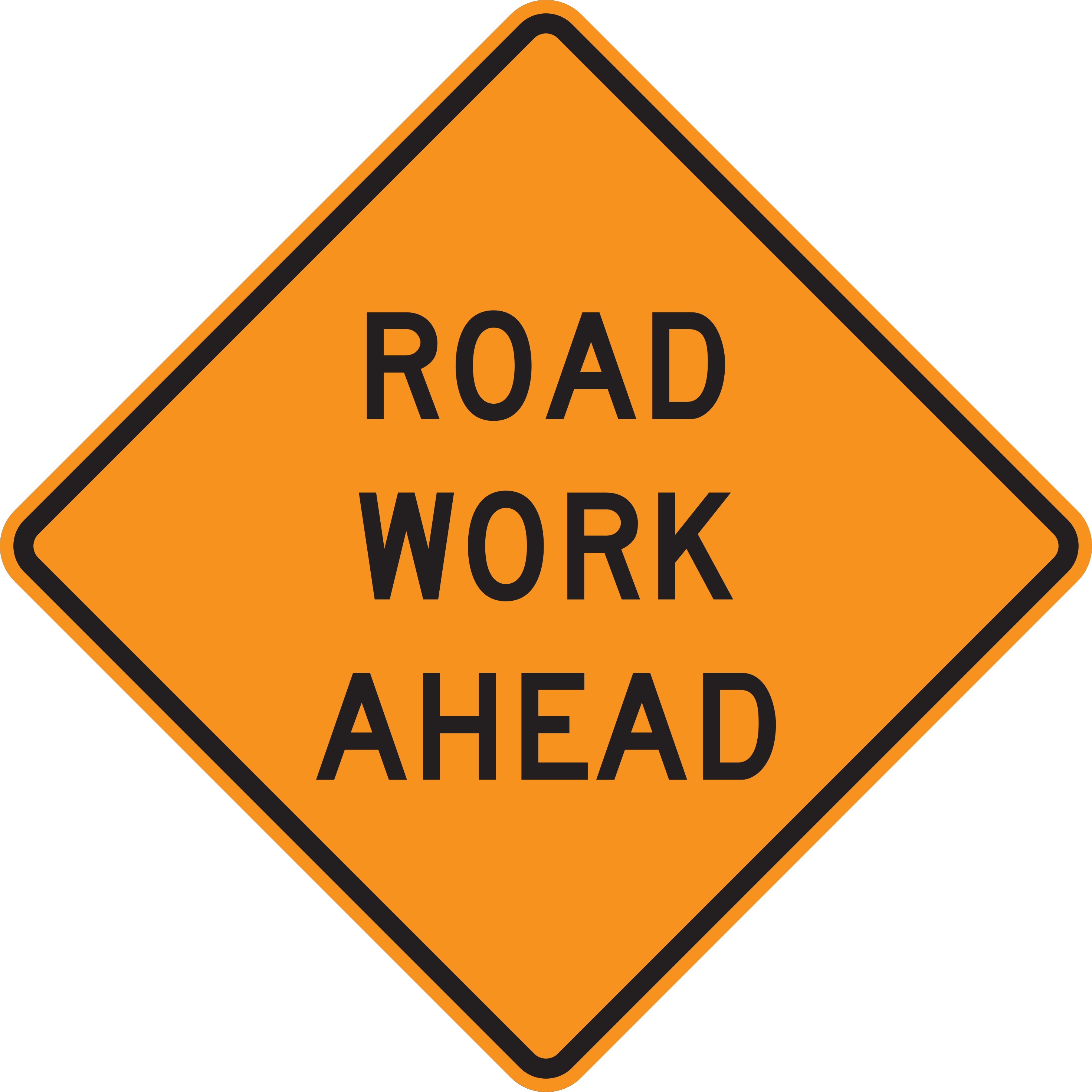
Highway construction or maintenance activity is ahead on the roadway.
Slow down, stay alert for workers and equipment, increase following distance, and obey all posted work zone speed limits.
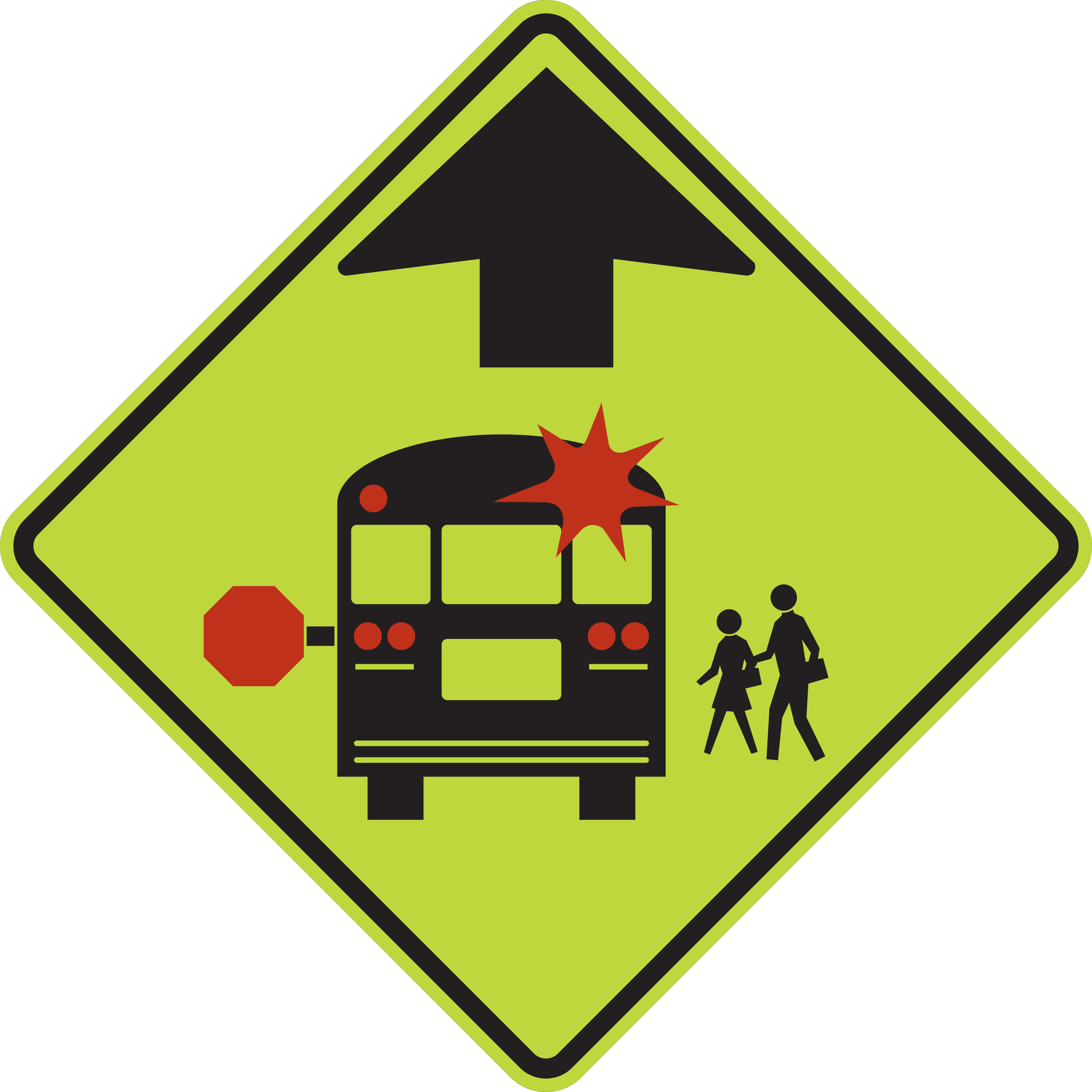
A school bus stop is ahead where sight distance is limited; be prepared to stop.
Slow down, watch for stopped school buses with flashing red lights and children boarding or discharging, and be prepared to stop.
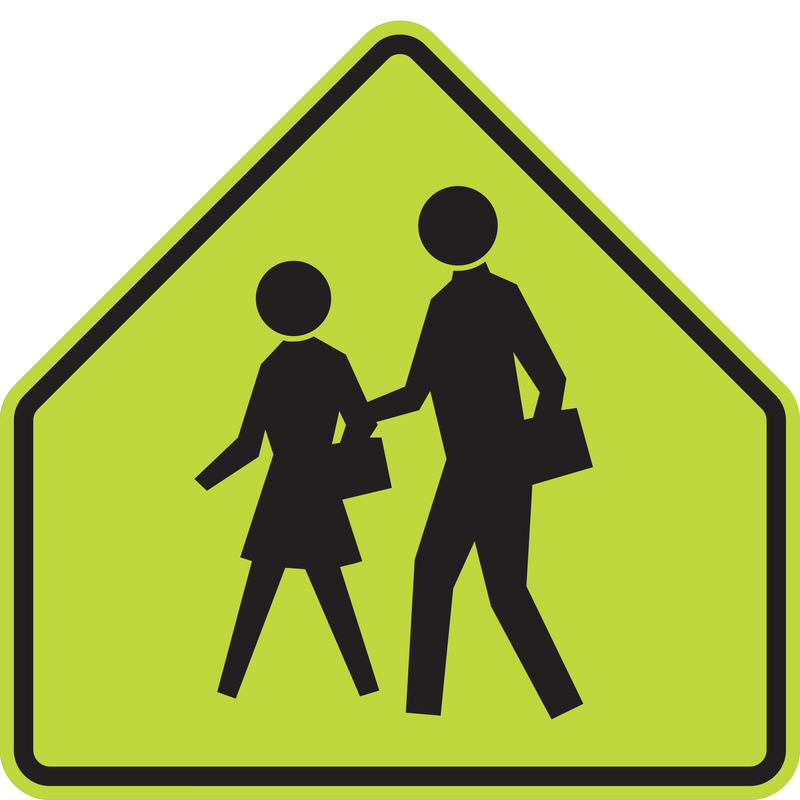
Warns of a school area or identifies a school zone or crossing context.
Use additional care for school-related activity and read any accompanying signs.
High-Mistake Road Signs
State DMV examinations frequently feature pairs of signs that share similar symbols, colors, or names but demand completely different driving actions.
StopStop aheadSTOP (R1-1) is an octagonal regulatory sign marking the exact controlled approach where stopping is legally mandatory per MUTCD Section 2B.04. STOP AHEAD (W3-1) is a diamond-shaped warning sign providing advance notice of stop control ahead per MUTCD Section 2C.35, instructing drivers to prepare to stop.
Do not enterWrong wayDO NOT ENTER (R5-1) faces traffic that could enter a roadway or ramp in the wrong direction per MUTCD Section 2B.46. WRONG WAY (R5-1a) supplements DO NOT ENTER signing, placed farther along the roadway or ramp facing a road user who is already traveling in the wrong direction per MUTCD Section 2B.47.
YieldYield aheadYIELD (R1-2) is a triangular regulatory sign requiring drivers to slow down and yield right-of-way at the intersection approach per MUTCD Section 2B.06. YIELD AHEAD (W3-2) is a diamond-shaped warning sign providing advance notice of an upcoming yield control approach per MUTCD Section 2C.35.
Sharp turn aheadCurve aheadThe Turn sign (W1-1) shows a sharp right-angle arrow alerting to a change in horizontal alignment where advisory speeds are typically 30 mph or less per MUTCD Section 2C.07. The Curve sign (W1-2) shows a curved arrow indicating a change in alignment where advisory speeds are generally higher than 30 mph.
Do not passNo passing zoneDO NOT PASS (R4-1) is a vertical rectangle regulatory sign emphasizing a passing restriction, posted at the beginning and at intervals within the zone per MUTCD Section 2B.36. NO PASSING ZONE (W14-3) is a yellow right-pointing pennant warning sign placed on the left side of the roadway at the beginning of the zone per MUTCD Section 2C.53.
School areaPedestrian warningSchool Area (S1-1) uses a pentagon shape with two schoolchildren symbols to identify a school-area or school-crossing context per MUTCD Section 7B.01. Pedestrian Warning (W11-2) uses a diamond shape with a single pedestrian symbol to alert drivers to general pedestrian crossings per MUTCD Section 2C.55. While School Area signs are fluorescent yellow-green, Pedestrian Warning signs may use yellow or fluorescent yellow-green depending on application.
Exam Preparation Guide
Pass your knowledge exam with confidence by applying structured recognition and active recall methods rather than brute-force memorization.
Start with the silhouette and background color. If you immediately recognize that an octagon means Stop and a pennant means No Passing, you have eliminated 75% of wrong exam options.
Whenever you review a sign card, verbalize what your hands and feet must do: braking, checking blind spots, yielding right-of-way, or preparing to stop before tracks.
Drill confusing pairs back-to-back. Identifying the subtle visual differences between Stop and Stop Ahead, or Do Not Enter and Wrong Way, builds resilient exam recall.
Take full practice tests to uncover signs you consistently miss. Re-test those isolated weak signs until your recognition accuracy reaches 100%.
Common Questions
Clear answers to common questions about U.S. traffic signs, DMV testing standards, and road safety regulations.
Under the Federal Highway Administration's Manual on Uniform Traffic Control Devices (MUTCD), traffic signs are classified into three primary categories: Regulatory Signs (which enforce mandatory traffic laws like Stop, Yield, and Speed Limits), Warning Signs (which alert drivers to hazards, sharp curves, and roadway conditions), and Guide Signs (which provide highway directions, exit numbers, and points of interest).
Geometric sign shapes convey critical information before the symbol or text becomes visible. Octagons are reserved strictly for Stop signs; downward triangles signal Yield; diamonds warn of upcoming roadway hazards; upward pentagons indicate school zones; pennants mark No Passing Zones; round circles warn of railroad grade crossings; and vertical rectangles convey enforceable traffic regulations.
Standardized colors indicate sign function: Red communicates mandatory stops, yields, and prohibitions; Yellow warns of general road conditions and hazards; White with black lettering enforces regulatory laws; Fluorescent Yellow-Green highlights school zones and pedestrian activity; Orange alerts to construction and work zones; Green provides directional guidance; Blue indicates motorist services; and Brown identifies recreational and cultural points of interest.
Driver licensing exams and practical road safety test operational responses, not just vocabulary. Recognizing that an octagon means 'Stop' is insufficient; a driver must understand the legal action—bringing the vehicle to a full stop behind the stop line, checking for pedestrians, and yielding to cross traffic before proceeding.
The complete federal MUTCD specifies hundreds of distinct signs, symbol variants, and supplementary plaques across all roadway classes. FreeRoadSignsTest.com teaches a verified 68-sign national study baseline covering the most critical regulatory, warning, and school signs essential for driver knowledge tests and everyday road safety.
Learn shapes and colors first to instantly deduce whether a sign requires stopping, yielding, or hazard caution. Next, connect each sign symbol to its practical driver action (such as decelerating, lane shifting, or checking blind spots). Finally, practice identifying commonly confused sign pairs and take practice tests to isolate and review weak signs.
Take a free road signs practice test with instant explanations, driver response reviews, and official FHWA MUTCD standards. No signup required.
State-Specific Road Sign Practice: